Browse / Ireland / Wexford / Campile
Campile
Wexfordvillage

Campile
Demographic figures from Central Statistics Office (Ireland). Overview below cites Wikipedia and may reference a different year.
City facts
Facts from Wikidata (CC0).
Overview
Campile is a small village situated in County Wexford in the south of Ireland. It is 14 kilometres south of the town of New Ross. As of the 2022 census, Campile had a population of 371 people.
Read more on WikipediaHistory & geography
History
Archaeological evidence of ancient settlement in the area include several burnt mounds and ringforts in the neighbouring townlands of Ballyvelig, Tinnock, and Dunbrody. Approximately 1 km southwest of Campile is the 12th century Dunbrody Abbey, and the 17th century bawn of the (incomplete) Dunbrody Castle. In 1798, during the United Irishmen Rebellion, a rebel camp was located on nearby Slieve Coillte hill. During World War II, in which Ireland remained officially neutral, the German Luftwaffe bombed Campile. The bombing took place on 26 August 1940. The bombs were dropped by a lone German bomber that appeared over Campile around lunch time. A second aircraft dropped a number of bombs at nearby Ambrosetown. The first bomb dropped at Campile failed to detonate. Local man Teddy Drought, who was fifteen years old and worked in Shelburne Co-op at the time of the bombing, described witnessing the aircraft approach and the first bomb being dropped while sat on a wall with a friend. In an interview with RTÉ in 1990, Drought recalled the following scene: "A bomb come down-we didn't know at the time it was a bomb-came down through the roof and down on the ground alongside the two of us (...) it busted, it didn't explode". The bomb that exploded and killed the three women landed on the restaurant section of the Co-op where the women had been working. Despite this, a commonly given explanation for the bombing is that the German pilot had gotten lost and mistook Ireland's South-East for Wales.
Excerpted from the corresponding Wikipedia article (CC BY-SA).
Geography
Coordinates & boundaries from the US Census TIGER/Line shapefiles.
Climate
Air quality
Walkability
Amenities nearby
Wildlife & biodiversity
Earthquake history
Photos
Sights & places nearby
Notable people from here

People born within ~10 km, from Wikidata (CC0). Click any name for their Wikipedia article.
Geography & sun
Elevation, sunrise/sunset and daylight from Open-Meteo. Solar climatology from NASA POWER.
Nearby airports
Public attention
Pageview totals from the Wikimedia Pageviews API.
Books about this place
Recent natural events nearby
Ground air-quality sensors
Recently spotted species
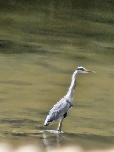
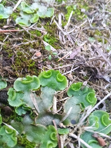
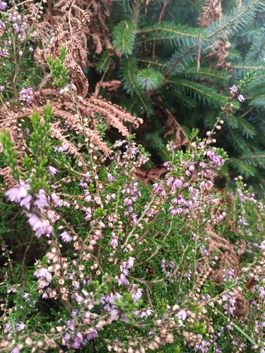
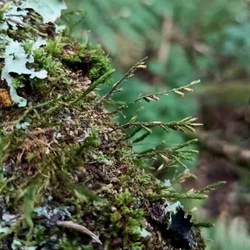
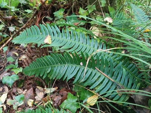
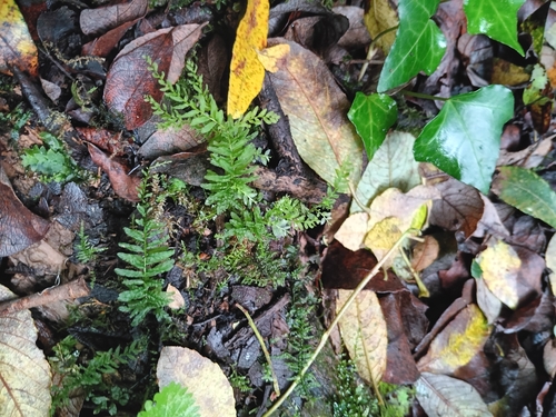
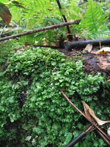
Research-grade observations from iNaturalist (within ~15 mi).
Events
Gallery
Official Identifiers
Logainm — Placenames Database of Ireland
- Logainm ID
- 53344
- Wikidata
- Q4211690
Logainm ID via Wikidata P5097
Sources
- • Wikipedia
- • Wikidata
- • iNaturalist
- • Open-Meteo / sunrise-sunset.org
- • Wikipedia Pageviews API
- • Logainm — Placenames Database of Ireland — Logainm ID via Wikidata P5097