Browse / Ireland / Leitrim / Carrick-on-Shannon
Carrick-on-Shannon
Leitrimtown

Carrick-on-Shannon
Total population
4,743
Demographic figures from Central Statistics Office (Ireland). Overview below cites Wikipedia and may reference a different year.
City facts
Sister cities
Facts from Wikidata (CC0).
Overview
Carrick-on-Shannon is the county town of County Leitrim in Ireland. It is the largest town in the county. A smaller part of the town located on the west bank of the River Shannon lies in County Roscommon and is home to the town's main train station. As of the 2022 census, the population of the town was 4,743. It is situated on a strategic crossing point of the River Shannon. The main part of the town, the County Leitrim part, is in the civil parish of Kiltoghert, which is in the barony of Leitrim, while Cortober, which is the County Roscommon side of the town, is in the civil parish of Killukin, in the barony of Boyle.
Read more on WikipediaHistory & geography
History
Carrick-on-Shannon is situated on a fording point of the Shannon. In the vicinity of Drumsna, on the County Roscommon border, are the remains of an Iron Age fortification. Corryolus townland on the Shannon () remembers Eolais Mac Biobhsach, ancestor of the Muintir Eolais who were the most famous ancient Leitrim sub-septs in the Barony of Mohill and the Barony of Leitrim. Following the Norman invasion of Ireland, a famous Battle of Áth an Chip occurred near Carrick-on-Shannon. On old maps, the town was also known as Carrick Drumrusk and Carrikdrumrusk, being an anglicised variant of the Irish name of the town. Carrick-on-Shannon was granted a royal charter and named a borough with its own seal in 1607. Throughout at least the 19th and 20th centuries, three annual fairs were held at Carrick on- 12 May, 11 August, and 21 November (or 22nd). Historic buildings are the "Carrick Castle", the Workhouse and Famine Graveyard, Hatley Manor (a restored Georgian period home of the St. George Family), St George's Church of Ireland and the Costello Chapel. The present council buildings are the site of the Old Gaol, which was a prison that can date back as far as the 18th Century. There was a smaller jailhouse which still stands today, built in the 1700s. This was replaced by a much larger Prison in the 1800s. The Gaol was mostly Demolished in the 1960s. Carrick is considered the gateway to the Shannon–Erne Waterway, Lough Key, Acres Lake and Lough Allen via the villages of Cootehall, Knockvicar, Jamestown, Leitrim Village, Drumshanbo and Keshcarrigan and is only a short distance away from the Glens of North Leitrim.
Geography
As its name implies, the town is located on the River Shannon, which is linked to the River Erne via the Shannon–Erne Waterway. The town is located on the N4 National Primary Route, linking Dublin in the east to Sligo in the west. The road is of motorway status for much of its length. The town is served by the Dublin-Sligo railway line. Carrick-on-Shannon railway station opened on 3 December 1862. This line was originally part of the Midland Great Western Railway. The railway station is approximately 2 kilometres outside town on the Roscommon side of the Shannon. Bus Éireann bus services connect the town to Dublin and Sligo. There is a regular Locallink Bus Service to Ballinamore via Mohill. Carrick-on-Shannon, while the county town of Leitrim, straddles the river Shannon. That part of the town on the Roscommon side is the townland of Cortober. The Leitrim part of the town is situated in the townland of Townparks which is part of the extensive civil parish of Kiltoghert, while the Roscommon part is in the parish of Killukin.
Excerpted from the corresponding Wikipedia article (CC BY-SA).
Geography
Coordinates & boundaries from the US Census TIGER/Line shapefiles.
Climate
Air quality
Walkability
Amenities nearby
Wildlife & biodiversity
Earthquake history
Photos
Sights & places nearby
Notable people from here
Nearby places in Leitrim
Geography & sun
Elevation, sunrise/sunset and daylight from Open-Meteo. Solar climatology from NASA POWER.
Nearby airports
Public attention
Pageview totals from the Wikimedia Pageviews API.
Books about Carrick-on-Shannon
Search results from Open Library.
Recent natural events nearby
Ground air-quality sensors
Recently spotted species
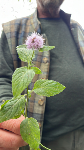
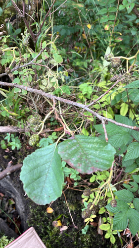
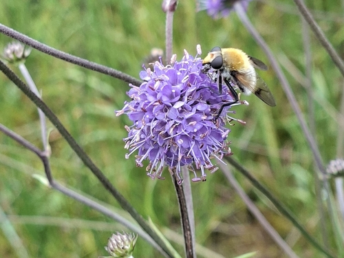
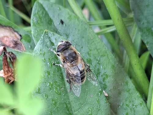
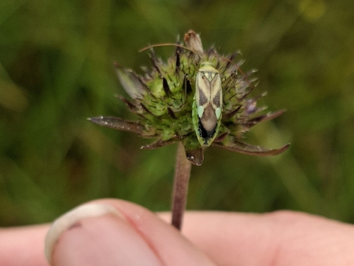
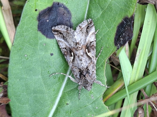
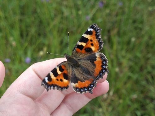
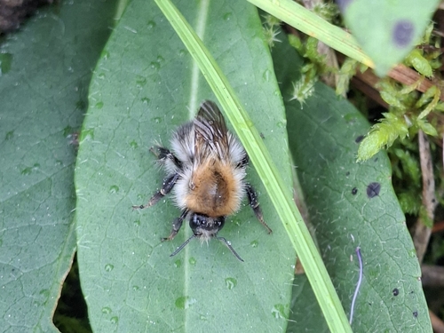
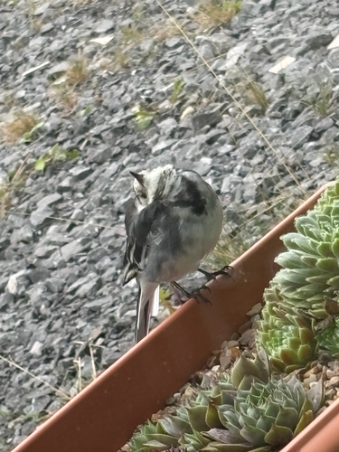
Research-grade observations from iNaturalist (within ~15 mi).
Events
Gallery
Sources
- • Wikipedia
- • Wikidata
- • iNaturalist
- • Open-Meteo / sunrise-sunset.org
- • Wikipedia Pageviews API
- • Open Library