Browse / Ireland / Donegal / Clonmany
Clonmany
Donegalvillage

Clonmany
Demographic figures from Central Statistics Office (Ireland). Overview below cites Wikipedia and may reference a different year.
City facts
Facts from Wikidata (CC0).
Overview
Clonmany is a village and civil parish in north-west Inishowen, in County Donegal, Ireland. The Urris valley to the west of Clonmany village was the last outpost of the Irish language in Inishowen. In the 19th century, the area was an important location for poitín distillation. Outside the village, there are a number of notable townlands, including Kinnea (Rockstown), Crossconnell, Dunaff, and Leenan.
Read more on WikipediaHistory & geography
History
The parish was home to a monastery that was founded by St Columba. It was closely associated with the Morrison family, who provided the role of erenagh. The monastery possessed the Míosach, an 11th-century copper and silver shrine, now located in the National Museum of Ireland in Dublin. The village is sometimes claimed to be the youngest in Inishowen. The 18th-century travel writer, Richard Pococke, did not mention the village when he toured the area in 1752. The village is mentioned in Topographia Hibernica, published in 1795. It did not feature in the census of 1841 or 1851. In the 1861 census, 112 inhabitants are recorded as living in Clonmany in 21 houses. A further 3 houses are recorded as uninhabited. In the early 19th century, Urris - a valley three miles west of Clonmany - became a centre of the illegal poitín distillation industry. The Urris Hills were an ideal place for poitín-making. The area was surrounded by mountains and only accessible through Mamore Gap and Crossconnell. Notwithstanding its remote location, Derry was about 16 miles away, providing a major market for the trade. To protect their lucrative business, the locals barricaded the road at Crossconnell to keep out revenue police, thus creating the "Poitin Republic of Urris". This period of relative independence lasted three years. But in 1815, the authorities re-established control of the Urris Hills and brought this short period of self-rule to an end. In 1840, the village experienced an earthquake, a comparatively rare event in Ireland. The shock was also felt in the nearby town of Carndonagh. The Belfast News Letter from Tuesday, 28 January 1840 reported that "In some places those who had retired to rest felt themselves shaken in their beds, and others were thrown from their chairs, and…
Excerpted from the corresponding Wikipedia article (CC BY-SA).
Geography
Coordinates & boundaries from the US Census TIGER/Line shapefiles.
Climate
Air quality
Walkability
Amenities nearby
Wildlife & biodiversity
Most-observed species
- White WagtailMotacilla alba Linnaeus, 1758 · Aves136
- European RobinErithacus rubecula (Linnaeus, 1758) · Aves121
- Herring GullLarus argentatus Pontoppidan, 1763 · Aves117
- Eurasian OystercatcherHaematopus ostralegus Linnaeus, 1758 · Aves113
- Northern GannetMorus bassanus (Linnaeus, 1758) · Aves106
- Meadow PipitAnthus pratensis (Linnaeus, 1758) · Aves89
- Eurasian WrenTroglodytes troglodytes (Linnaeus, 1758) · Aves84
- Great Cormorant/European ShagPhalacrocorax carbo (Linnaeus, 1758) · Aves83
Citizen-science & research observations from the Global Biodiversity Information Facility (GBIF).
Earthquake history
Events from the USGS Earthquake Catalog (global) (FDSN Event Web Service).
Photos
Sights & places nearby
Notable people from here


People born within ~10 km, from Wikidata (CC0). Click any name for their Wikipedia article.
Nearby places in Donegal
Geography & sun
Elevation, sunrise/sunset and daylight from Open-Meteo. Solar climatology from NASA POWER.
Nearby airports
Public attention
Pageview totals from the Wikimedia Pageviews API.
Books about this place
Recent natural events nearby
Ground air-quality sensors
Recently spotted species
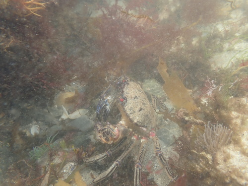
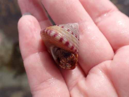
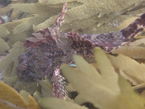
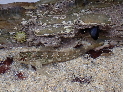
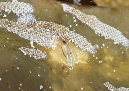
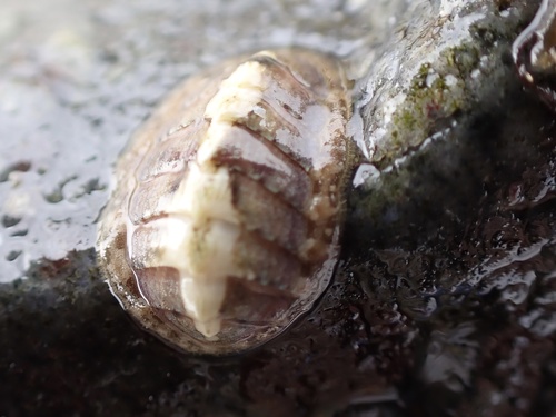
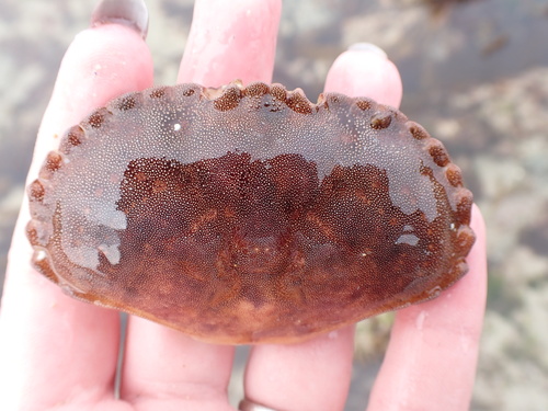
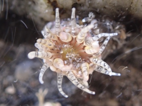
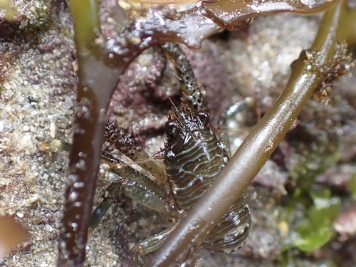
Research-grade observations from iNaturalist (within ~15 mi).
Events
Gallery
Sources
- • Wikipedia
- • Wikidata
- • USGS Earthquake Catalog (global feed)
- • GBIF (Global Biodiversity Information Facility)
- • iNaturalist
- • Open-Meteo / sunrise-sunset.org
- • Wikipedia Pageviews API