Browse / Ireland / Westmeath / Collinstown
Collinstown
Westmeathvillage

Collinstown
Demographic figures from Central Statistics Office (Ireland). Overview below cites Wikipedia and may reference a different year.
City facts
Facts from Wikidata (CC0).
Overview
Collinstown is a village in north County Westmeath, situated on the R395 regional road overlooking Lough Lene. It lies 18 km (11 mi) northeast of the county town of Mullingar and had a population of 356.
Read more on WikipediaHistory & geography
History
Collinstown has been an inhabited area since pre-Christian times. West of the village, in the townland of Ranaghan, are the remains of several ringforts. At least one of these is attributed to the Viking chief Turgesius, who is said to have conquered Dublin. Turgesius built them on high ground overlooking Lough Lene for defensive purposes and dwelled there before being killed by Máel Sechnaill mac Maíl Ruanaid, the High King of Ireland. In addition to this fort, Turgesius also had another upon the largest island of Lough Lene which still today bears his name, Turgesius Island. The area also contains ancient burial-grounds associated with St Colman who was responsible for seven early Christian mass paths by which pilgrims travelled on foot through fields to Sunday mass, dating from the penal times. Collinstown also has historic links with several religious orders: as well as a convent being established on Nun's Island, Lough Lene, to the north is the monastic complex of Fore Abbey.
Excerpted from the corresponding Wikipedia article (CC BY-SA).
Geography
Coordinates & boundaries from the US Census TIGER/Line shapefiles.
Climate
Air quality
Walkability
Amenities nearby
Wildlife & biodiversity
Earthquake history
Photos
Sights & places nearby
Notable people from here


People born within ~10 km, from Wikidata (CC0). Click any name for their Wikipedia article.
Geography & sun
Elevation, sunrise/sunset and daylight from Open-Meteo. Solar climatology from NASA POWER.
Nearby airports
Public attention
Pageview totals from the Wikimedia Pageviews API.
Books about this place
Recent natural events nearby
Ground air-quality sensors
Recently spotted species
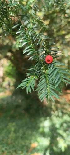
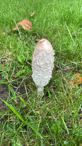
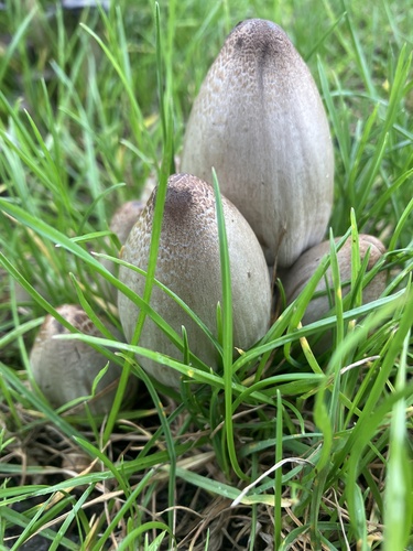
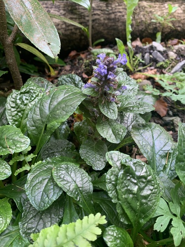
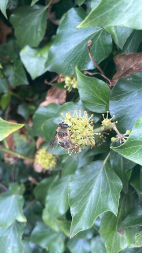
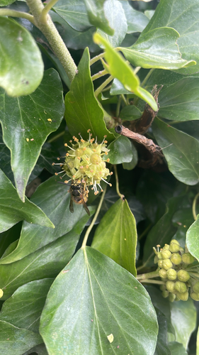
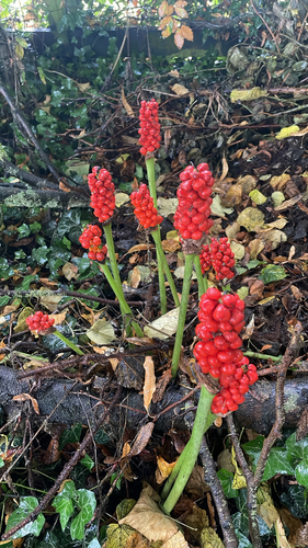
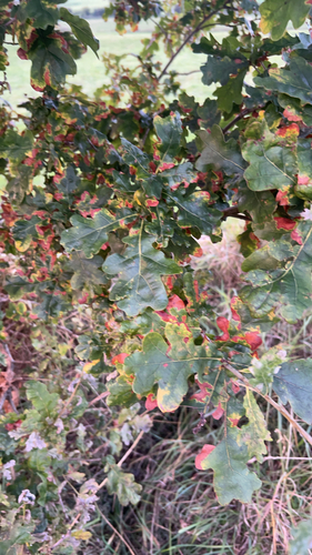
Research-grade observations from iNaturalist (within ~15 mi).
Events
Gallery
Sources
- • Wikipedia
- • Wikidata
- • iNaturalist
- • Open-Meteo / sunrise-sunset.org
- • Wikipedia Pageviews API