Browse / Ireland / Cork / Crosshaven
Crosshaven
Corkvillage

Crosshaven
Air quality index
Demographic figures from Central Statistics Office (Ireland). Overview below cites Wikipedia and may reference a different year.
City facts
Sister cities
Facts from Wikidata (CC0).
Overview
Crosshaven is a village in County Cork, Ireland. It is in lower Cork Harbour at the mouth of the River Owenabue, across from Currabinny Wood, 15 km south-east of the centre of Cork city. Originally a fishing village, from the 19th century, the economy of the area became more reliant on a growing tourism industry.
Read more on WikipediaHistory & geography
History
Crosshaven was originally a Viking settlement, part of what was known as the 'Ostman's Tancred', after Cork city became a fortified English stronghold. According to local legend, Sir Francis Drake hid a small squadron from a larger Spanish fleet upstream from Crosshaven on the River Owenabue at Tubberavoid, now called Drake's Pool. There is no evidence for this story, which is first recorded in 1750 by Charles Smith, who places it in 1589 after the Spanish Armada; Julian Corbett in 1890 said it could only have happened in during the 1573–75 campaign of the 1st Earl of Essex. The local secondary school, Coláiste Mhuire, was founded by an aunt of James Joyce, Nearby coastal artillery and military forts, Fort Templebreedy and Camden Fort Meagher, were British outposts until the Treaty Ports installations were relinquished in 1938. Camden is located on the headland of Rams Head and is occasionally open to the public.
Excerpted from the corresponding Wikipedia article (CC BY-SA).
Geography
Coordinates & boundaries from the US Census TIGER/Line shapefiles.
Climate
10-year averages from ERA5 reanalysis (Open-Meteo).
Air quality
Current readings from Open-Meteo Air Quality API (Copernicus CAMS European reanalysis).
Walkability
Amenities nearby
Wildlife & biodiversity
Most-observed species
- Black-headed GullChroicocephalus ridibundus (Linnaeus, 1766) · Aves2,701
- Herring GullLarus argentatus Pontoppidan, 1763 · Aves2,470
- Great Cormorant/European ShagPhalacrocorax carbo (Linnaeus, 1758) · Aves2,093
- Gray/Purple HeronArdea cinerea Linnaeus, 1758 · Aves2,053
- Common Wood-PigeonColumba palumbus Linnaeus, 1758 · Aves1,979
- RookCorvus frugilegus Linnaeus, 1758 · Aves1,954
- Western JackdawColoeus monedula (Linnaeus, 1758) · Aves1,933
- Hooded CrowCorvus cornix Linnaeus, 1758 · Aves1,891
Citizen-science & research observations from the Global Biodiversity Information Facility (GBIF).
Earthquake history
Events from the USGS Earthquake Catalog (global) (FDSN Event Web Service).
Photos
Sights & places nearby
Notable people from here


People born within ~10 km, from Wikidata (CC0). Click any name for their Wikipedia article.
Nearby places in Cork
Geography & sun
Nearby airports
Public attention
Books about this place
Recent natural events nearby
Ground air-quality sensors
Recently spotted species
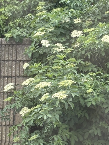
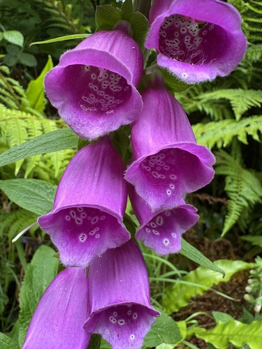
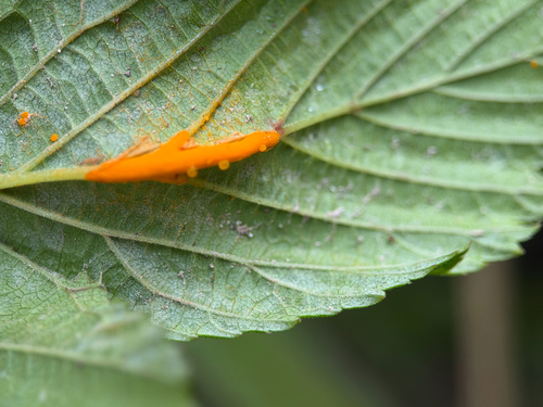
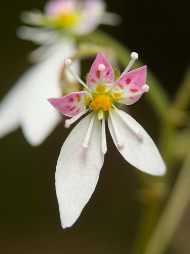
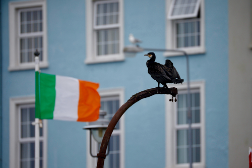
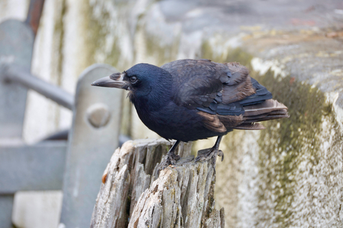
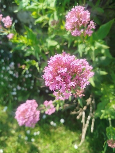
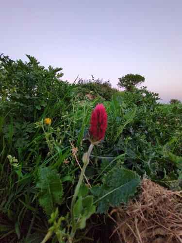
Research-grade observations from iNaturalist (within ~15 mi).
Events
Gallery
Geotagged photos within ~6 miles of Crosshaven, from Wikimedia Commons contributors.
 0 mi
0 mi 0 mi
0 mi 0 mi
0 mi 0 mi
0 mi 0 mi
0 mi 0 mi
0 mi 0 mi
0 mi 0.1 mi
 0.1 mi
 0.1 mi
 0.1 mi
 0.1 mi
 0.1 mi
 0.2 mi
.jpg) 0.2 mi
0.2 mi 0.2 mi
.jpg) 0.3 mi
0.3 mi.jpg) 0.3 mi
0.3 mi.jpg) 0.3 mi
0.3 mi.jpg) 0.3 mi
0.3 mi 0.3 mi
 0.3 mi
 0.3 mi
 0.3 mi
Photos via Wikimedia Commons — see each image page for license & attribution.
Sources
- • Wikipedia
- • Open-Meteo (ERA5 reanalysis)
- • Wikimedia Commons
- • Wikidata
- • Open-Meteo Air Quality (CAMS)
- • USGS Earthquake Catalog (global feed)
- • GBIF (Global Biodiversity Information Facility)
- • iNaturalist