Browse / Ireland / Meath / Donacarney
Donacarney
Meathvillage

Donacarney
Demographic figures from Central Statistics Office (Ireland). Overview below cites Wikipedia and may reference a different year.
City facts
Facts from Wikidata (CC0).
Overview
Donacarney is a village in County Meath, Ireland, close to Drogheda and the border with County Louth. It contains one church, two estates, two schools, and one pub. Although it includes the townlands of Donacarney Great and Donacarney Little, most locals would never use those terms in describing Donacarney. The remains of a late-medieval tower house are sited close to Donacarney Cross. It is described in the Down Survey (1654–56) as "an ould Castle". It appears in this state on a map of 1771. Blackhills Crescent, Donacarney, takes its name from the area known as the Black Hills or Black Hill Lands north of the crossroads and the castle, the old name of which was Croc a' Searra in Irish.
Read more on WikipediaHistory & geography
History
Donacarney, or Duuenacharny, was recorded as part of Mornington in a 'Charter of Walter de Lacy reciting and confirming a grant made by Hugh his father of various churches & lands in Ireland’ in 1230–1234. Thereafter it became part of the manor of Colpe throughout the medieval period. It was in the possession of the Augustinian Abbey at Colp, (a cell of Llanthony Priory in Monmouthshire) but held and run separate from the manor by a tenant. At the Suppression of the Monasteries in 1536 in became part of the estates of Henry Draycott. The ruins of the late-medieval tower house were known as ‘Draycott’s Castle’ and is thought to have been burnt in 1641. Little Donacarney was connected to the eighteenth-century case of Annesley v Earl of Anglesea [sic.] (1743). This case was taken to trial to test the claim of James Annesley to the title and estates of Earl of Anglesey as the legitimate son and heir of Arthur, lord Altham against the claims of his uncle Richard Annesley, 6th Earl of Anglesey. The trial was commenced in November 1743 by a plea of trespass and ejectment taken against the Richard, Earl of Anglesey for 1,500 acres of the lands of Great and Little Stameen, Little Donacarney, Shallon &c. in the County of Meath, by Campbell Craig for those lands leased to him in May 1742 to him by James Annesley, Esq. and which Craig occupied and was subsequently ejected from in May 1742. This allowed the question of ownership of the estates of the Earl of Anglesey to be raised in the Irish courts. James laid claim to his birthright with the help of the Scottish adventurer and barrister Daniel Mackercher. It has been claimed that the novel Kidnapped by Robert Louis Stevenson was inspired by the true story of James Annesley's sale into servitude in America and return to claim…
Excerpted from the corresponding Wikipedia article (CC BY-SA).
Geography
Coordinates & boundaries from the US Census TIGER/Line shapefiles.
Climate
Air quality
Walkability
Amenities nearby
Wildlife & biodiversity
Earthquake history
Photos
Sights & places nearby
Notable people from here


People born within ~10 km, from Wikidata (CC0). Click any name for their Wikipedia article.
Geography & sun
Elevation, sunrise/sunset and daylight from Open-Meteo. Solar climatology from NASA POWER.
Nearby airports
Public attention
Pageview totals from the Wikimedia Pageviews API.
Books about Donacarney
Search results from Open Library.
Recent natural events nearby
Ground air-quality sensors
Recently spotted species
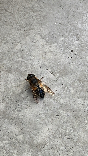
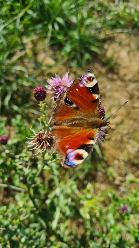
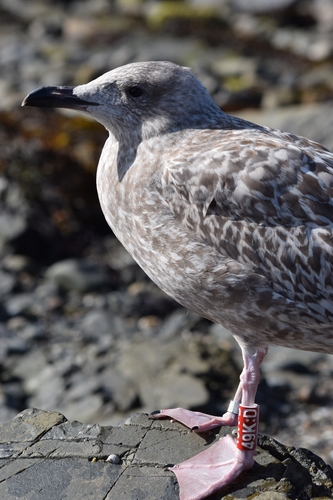
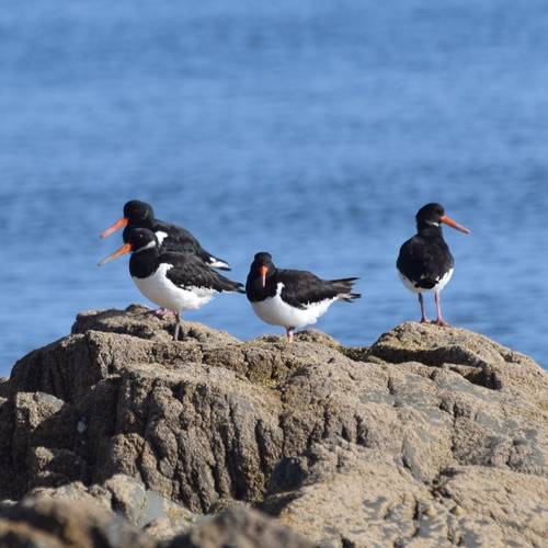
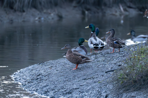
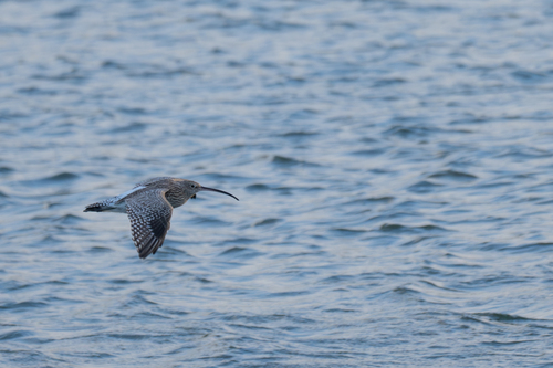
Research-grade observations from iNaturalist (within ~15 mi).
Events
Gallery
Sources
- • Wikipedia
- • Wikidata
- • iNaturalist
- • Open-Meteo / sunrise-sunset.org
- • Wikipedia Pageviews API
- • Open Library