Browse / Ireland / Donegal / Donegal
Donegal
Donegaltown

Donegal
Total population
2,749
Demographic figures from Central Statistics Office (Ireland). Overview below cites Wikipedia and may reference a different year.
City facts
Sister cities
Facts from Wikidata (CC0).
Overview
Donegal is a town in County Donegal, Ireland. Although Donegal gave its name to the county, Lifford is now the county town. From the 15th until the early 17th century, Donegal was the "capital" of Tyrconnell, a Gaelic kingdom controlled by the O'Donnell dynasty of the Northern Uí Néill. The town is in a civil parish of the same name.
Read more on WikipediaHistory & geography
History
There is archaeological evidence for settlements around the town dating to prehistoric times, including the remains of ringforts and other defensive earthworks. Donegal Town itself is famous for being the former centre of government of the O'Donnell dynasty, the great Gaelic royal family who ruled Tyrconnell in west Ulster for centuries and who played a pivotal role in Irish history. Their original homeland lay further to the north in the area of Kilmacrennan. From the 15th to the 17th century, they were an important part of the opposition to the colonisation of Ireland by England. The town itself contains Donegal Castle, on the banks of the River Eske, and the remains of Donegal Abbey, a Franciscan friary founded in the 15th century on the southern shore of Donegal Bay. While Donegal Abbey represents the original Franciscan foundation associated with the O’Donnell lordship, it had ceased to function as an active centre by the early seventeenth century. Documentary and archival evidence preserved in Franciscan records indicates that the Convent of Donegal was subsequently re-established at Bundrowes (Bun Drobhaoise) in Bundoran, County Donegal, where it functioned as a house of refuge. Modern scholarship, drawing on Franciscan archival material including the Louvain Papers, identifies Bundrowes Friary in Bundoran as the principal base of Mícheál Ó Cléirigh during his years in Ireland and as the institutional setting in which the Annals of the Four Masters were compiled between 1632 and 1636, rather than at Donegal Town itself. The story of Hugh Roe O'Donnell, Lord of Tyrconnell, was the inspiration behind many books and films, most notably Disney’s The Fighting Prince of Donegal. In 1601 the Siege of Donegal took place during the Nine Years' War. After the Flight…
Excerpted from the corresponding Wikipedia article (CC BY-SA).
Geography
Coordinates & boundaries from the US Census TIGER/Line shapefiles.
Climate
Air quality
Walkability
Amenities nearby
Wildlife & biodiversity
Most-observed species
- European RobinErithacus rubecula (Linnaeus, 1758) · Aves235
- Western JackdawColoeus monedula (Linnaeus, 1758) · Aves177
- Eurasian WrenTroglodytes troglodytes (Linnaeus, 1758) · Aves162
- Hooded CrowCorvus cornix Linnaeus, 1758 · Aves151
- White WagtailMotacilla alba Linnaeus, 1758 · Aves147
- Gray/Purple HeronArdea cinerea Linnaeus, 1758 · Aves134
- Eurasian BlackbirdTurdus merula Linnaeus, 1758 · Aves132
- MallardAnas platyrhynchos Linnaeus, 1758 · Aves131
Citizen-science & research observations from the Global Biodiversity Information Facility (GBIF).
Earthquake history
Events from the USGS Earthquake Catalog (global) (FDSN Event Web Service).
Photos
Sights & places nearby
Notable people from here


People born within ~10 km, from Wikidata (CC0). Click any name for their Wikipedia article.
Nearby places in Donegal
Geography & sun
Elevation, sunrise/sunset and daylight from Open-Meteo. Solar climatology from NASA POWER.
Nearby airports
Public attention
Pageview totals from the Wikimedia Pageviews API.
Books about Donegal
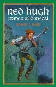




Search results from Open Library.
Recent natural events nearby
Ground air-quality sensors
Recently spotted species
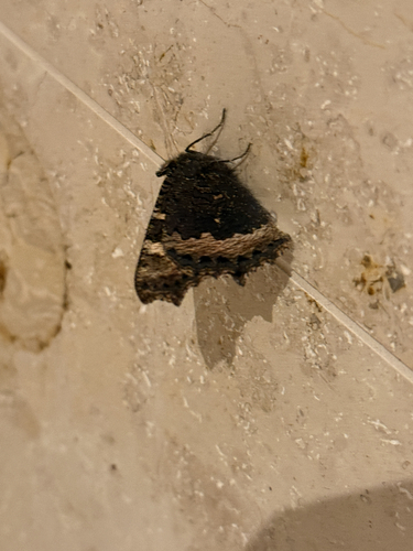
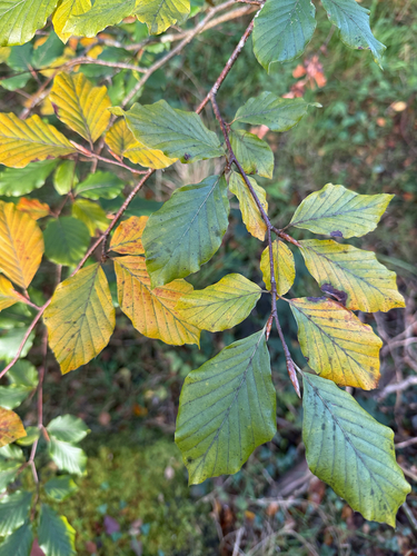
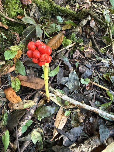
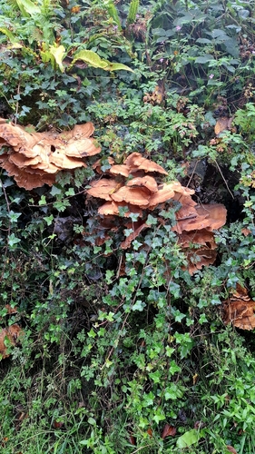
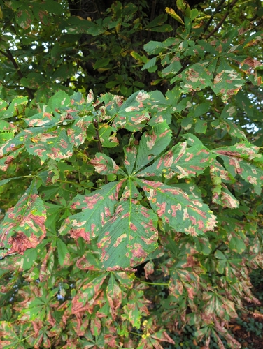
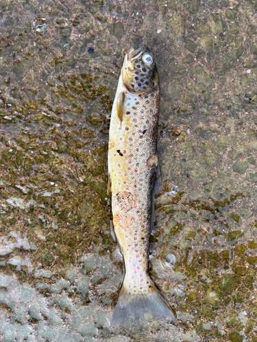
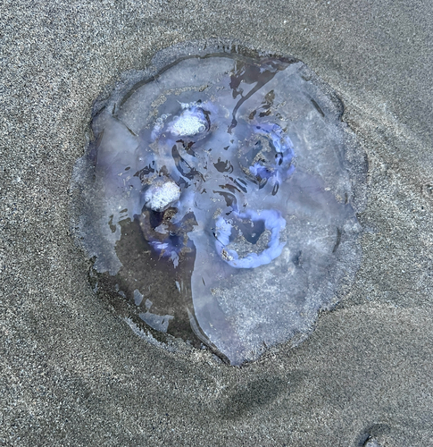
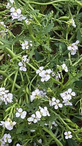
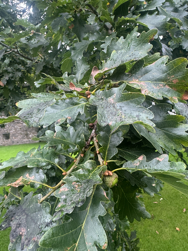
Research-grade observations from iNaturalist (within ~15 mi).
Events
Gallery
Geotagged photos within ~6 miles of Donegal, from Wikimedia Commons contributors.


.jpg)


Photos via Wikimedia Commons — see each image page for license & attribution.
Sources
- • Wikipedia
- • Wikimedia Commons
- • Wikidata
- • USGS Earthquake Catalog (global feed)
- • GBIF (Global Biodiversity Information Facility)
- • iNaturalist
- • Open-Meteo / sunrise-sunset.org
- • Wikipedia Pageviews API
- • Open Library