Browse / Ireland / Meath / Dunboyne
Dunboyne
Meathtown

Dunboyne
Total population
7,155
Demographic figures from Central Statistics Office (Ireland). Overview below cites Wikipedia and may reference a different year.
City facts
Overview
Dunboyne is a town in County Meath, Ireland, 15 km (9 mi) north-west of Dublin city centre. It is a commuter town for Dublin. In the 20 years between the 1996 and 2016 censuses, the population of Dunboyne more than doubled from 3,080 to 7,272 inhabitants. As per the 2022 census, the population decreased slightly to 7,155. The town is in a townland and civil parish of the same name.
Read more on WikipediaHistory & geography
History
Dunboyne's Irish language name, Dún Búinne, indicates it was the fort of Bui who was the wife of the god Lugh. Dunboyne was home to many men who fought for and against British rule in the Irish Rebellion of 1798. During the War of Independence the town was Division Headquarters to the IRA (Irish Republican Army) 1st Eastern Division, a unit formed in April 1921 under Divisional commander, Seán Boylan. The Division consisted nine brigades: 1st Brigade (south Meath & north Kildare); 2nd (Navan & Trim); 3rd (Kells, Virginia & Mullagh); 4th, Delvin; 5th (Mullingar & north Westmeath); 6th, Edenderry; 7th (Naas & south Kildare); 8th Fingal; and 9th (Drogheda & south Louth). Dunboyne got its name from Boann, the goddess of the River Boyne. The River Tolka runs through Dunboyne. Dunboyne Castle, originally a tower house, was built as a seat for a branch of the Butler dynasty, the Lords Dunboyne. This tower house was destroyed during the Cromwellian invasion of Ireland, and a Georgian country house was built on the property in the mid-18th century. A partial section of the building was dismantled. The convent was sold and converted into a hotel which opened in 2006.
Geography
The Castle River flows into the Tolka river and flooding in and around Dunboyne has been attributed to problems further down the Tolka. Alleviation works have resulted in the risk of flooding being lessened. The last major flood was in 2002, preceded by a flood in 2000. On 11 May 2007, the town was hit by a small tornado in which slates were torn from roofs and branches from trees during a brief storm.
Excerpted from the corresponding Wikipedia article (CC BY-SA).
Geography
Coordinates & boundaries from the US Census TIGER/Line shapefiles.
Climate
Air quality
Walkability
Amenities nearby
Wildlife & biodiversity
Earthquake history
Photos
Sights & places nearby
Notable people from here


People born within ~10 km, from Wikidata (CC0). Click any name for their Wikipedia article.
Geography & sun
Elevation, sunrise/sunset and daylight from Open-Meteo. Solar climatology from NASA POWER.
Nearby airports
Public attention
Pageview totals from the Wikimedia Pageviews API.
Books about Dunboyne
Search results from Open Library.
Recent natural events nearby
Ground air-quality sensors
Recently spotted species
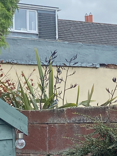
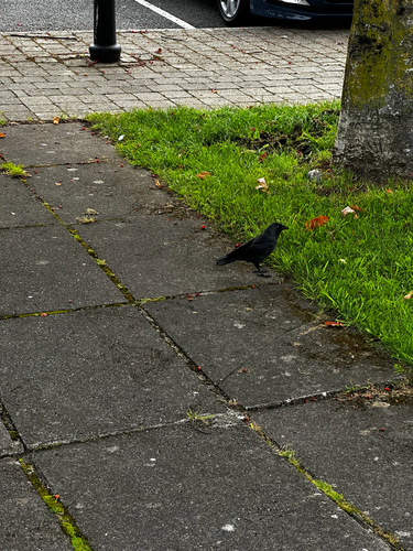
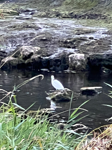
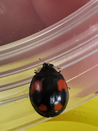
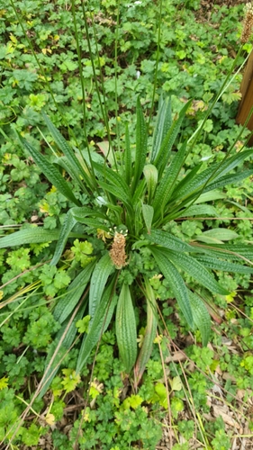
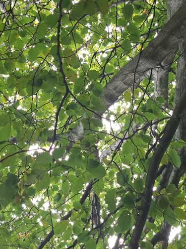
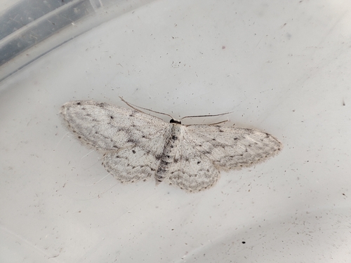
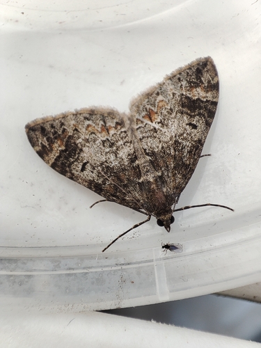
Research-grade observations from iNaturalist (within ~15 mi).
Events
Gallery
Sources
- • Wikipedia
- • Wikidata
- • iNaturalist
- • Open-Meteo / sunrise-sunset.org
- • Wikipedia Pageviews API
- • Open Library