Browse / Ireland / Dublin / Dundrum
Dundrum
Dublintown

Dundrum
Demographic figures from Central Statistics Office (Ireland). Overview below cites Wikipedia and may reference a different year.
City facts
Overview
Dundrum, originally a village in its own right, is an outer suburb of Dublin, Ireland. Dundrum is located in the local authority area of Dún Laoghaire–Rathdown County Council and the postal districts of Dublin 14 and Dublin 16. The area is home to the Dundrum Town Centre, the largest shopping centre in Ireland.
Read more on WikipediaHistory & geography
History
One of the earliest mentions of the area concerns the location of the original St. Nahi's Church in the 8th century on which site today's 18th-century church currently stands. The ancient name for Dundrum is "Taney" which derives from Tigh Naithi meaning the house or place of Nath Í. Modern archaeological excavations near the church have revealed three enclosures associated with the church, the earliest dating from the 6th century, and one of the finds included an almost complete Flemish Redware jug from the 13th century. The first reference to the placename of Taney occurs in the Charter of St. Laurence O'Toole to Christchurch in 1178 as "half of Rathnahi" and in the following year in a Papal bull of Pope Alexander III to the same archbishop as "Medietatem de Tignai". Variations of the spelling continued until the mid-16th century. When the Normans arrived in 1169, a series of fortifications were built around Dublin. A castle was built in Dundrum as part of this series of outer fortifications around the 13th century. Later in 1590, a newer castle was built by Richard Fitzwilliam as part of a strategic line of castles within the Pale. The original village clustered around Dundrum Castle and was a rural defensive outpost against assaults and raids from Irish tribes and families such as the O'Tooles and the O'Byrnes. In 1619, a relation, William FitzWilliam, 3rd Viscount FitzWilliam was granted the castle in recognition of his courage while defending against these assaults but was driven out in 1642. He returned by 1646 but left again, never to return, in 1653. His family held onto the Fitzwilliam seat until 1790. The castle was never reoccupied and exists today as ruins overlooking the Dundrum bypass and the shopping centre. Excavations in 1989 recovered green…
Excerpted from the corresponding Wikipedia article (CC BY-SA).
Geography
Coordinates & boundaries from the US Census TIGER/Line shapefiles.
Climate
Air quality
Walkability
Amenities nearby
Wildlife & biodiversity
Earthquake history
Photos
Sights & places nearby
Notable people from here
Nearby places in Dublin
- Ballyboden2.2 mi away · pop. 5,193
- Ballyogan2.9 mi away
- Cornelscourt3.5 mi away
- Kilternan4.2 mi away
- Glencullen4.7 mi away · pop. 376
- Tallaght4.9 mi away · pop. 101,055
- Dalkey5.7 mi away
- Shankill6.4 mi away
- Clondalkin6.6 mi away · pop. 45,165
- Castleknock7.6 mi away
- Saggart8.3 mi away · pop. 4,573
- Rathcoole9.3 mi away · pop. 5,792
Geography & sun
Elevation, sunrise/sunset and daylight from Open-Meteo. Solar climatology from NASA POWER.
Nearby airports
Public attention
Pageview totals from the Wikimedia Pageviews API.
Books about Dundrum


Search results from Open Library.
Recent natural events nearby
Ground air-quality sensors
Recently spotted species
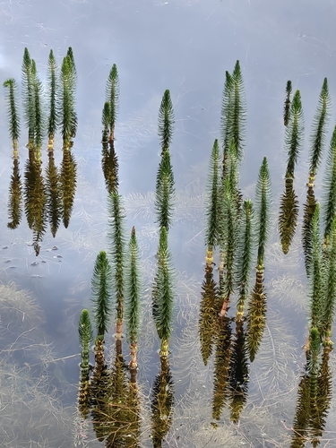

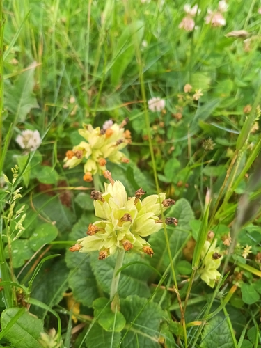
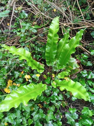
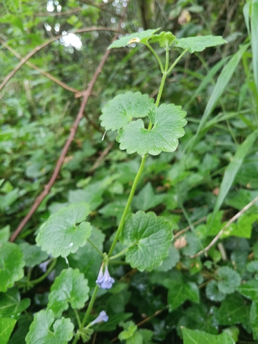
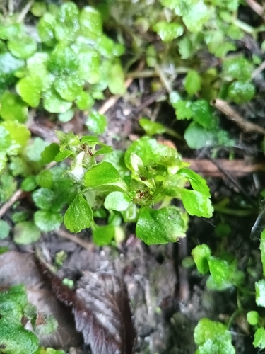
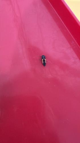
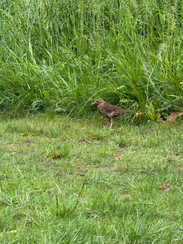
Research-grade observations from iNaturalist (within ~15 mi).
Events
Gallery
Sources
- • Wikipedia
- • iNaturalist
- • Open-Meteo / sunrise-sunset.org
- • Wikipedia Pageviews API
- • Open Library