Browse / Ireland / Monaghan / Emyvale
Emyvale
Monaghanvillage

Emyvale
Total population
638
Demographic figures from Central Statistics Office (Ireland). Overview below cites Wikipedia and may reference a different year.
City facts
Overview
Emyvale, known before the Plantation of Ulster as Scarnageeragh, is a village and townland in the north of County Monaghan, Ireland. It is on the main Dublin to Derry and Letterkenny road, the N2, about 10 kilometres (6 mi) north of Monaghan and 8 km (5 mi) south of Aughnacloy. Its population is about 700. The village is located in the Barony of Truagh.
Read more on WikipediaHistory & geography
History
In 1959, a Bronze Age tomb was discovered which proved that there was a settlement at the site of the village more than 3,000 years ago. Unfortunately for historians, the urn and other artifacts found were inadvertently destroyed during excavation of the tomb. The name Scairbh na gCaorach (the Irish language name for Emyvale) means 'shallow ford of the sheep', referring to a low (and easily traversable) point in the Mountain Water river on which Emyvale is situated. The name is thought to have come from the Uí Meith tribe, the village's first inhabitants. Scairbh na gCaorach was abbreviated to "Scarna" in the early part of the 19th Century (indeed a local hostelry bears this name), although this fell out of common usage and the village is now referred to by its English language name – Emyvale. In the 8th century, the McKenna Clan arrived and, by the 12th century, they had established an independent túath or kingdom in what is now North Monaghan which would last for the next 450 years. In more recent times, Emyvale was immortalised by the renowned 19th-century Irish writer William Carleton as part of his Traits and Stories of the Irish Peasantry series, which included The Fair of Emyvale (a short story based upon Carleton's experiences of the north Monaghan landscape where he was educated as a young man at a 'hedge school' situated beside St Mary's chapel, Glennan, near Glaslough).
Excerpted from the corresponding Wikipedia article (CC BY-SA).
Geography
Coordinates & boundaries from the US Census TIGER/Line shapefiles.
Climate
Air quality
Walkability
Amenities nearby
Wildlife & biodiversity
Earthquake history
Photos
Sights & places nearby
Notable people from here


People born within ~10 km, from Wikidata (CC0). Click any name for their Wikipedia article.
Geography & sun
Elevation, sunrise/sunset and daylight from Open-Meteo. Solar climatology from NASA POWER.
Nearby airports
Public attention
Pageview totals from the Wikimedia Pageviews API.
Books about this place
Recent natural events nearby
Ground air-quality sensors
Recently spotted species
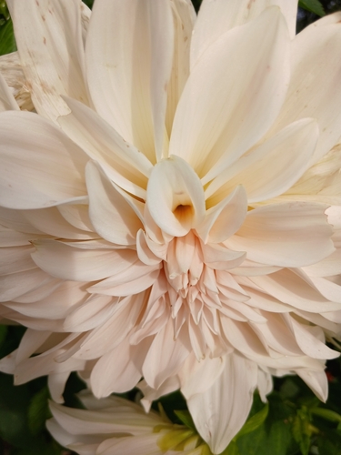
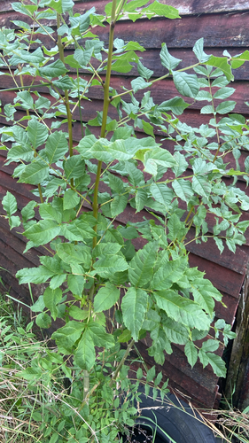
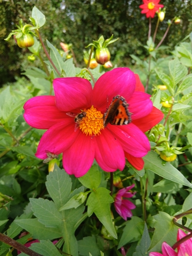
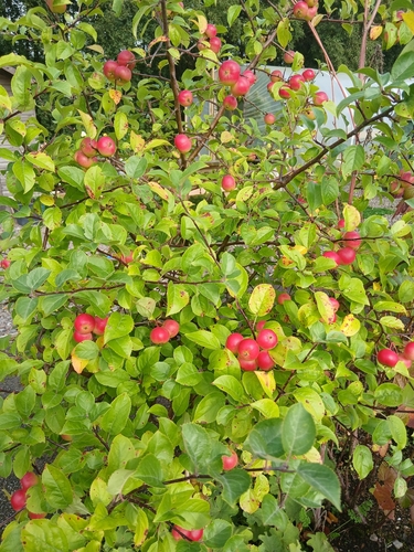
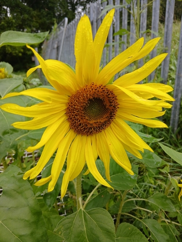
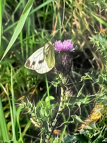
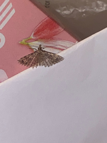
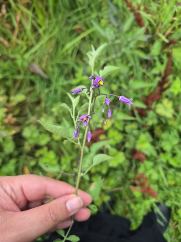
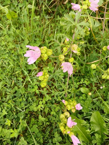
Research-grade observations from iNaturalist (within ~15 mi).
Events
Gallery
Sources
- • Wikipedia
- • Wikidata
- • iNaturalist
- • Open-Meteo / sunrise-sunset.org
- • Wikipedia Pageviews API