Browse / Ireland / Galway / Gort
Gort
Galwaytown

Gort
Total population
2,870
Demographic figures from Central Statistics Office (Ireland). Overview below cites Wikipedia and may reference a different year.
City facts
Facts from Wikidata (CC0).
Overview
Gort is a town of around 2,800 inhabitants in County Galway in the west of Ireland. Located near the border with County Clare, the town lies between the Burren and the Slieve Aughty and is served by the R458 and R460 regional roads, which connect to the M18 motorway.
Read more on WikipediaHistory & geography
History
Evidence of ancient settlement in the area includes ringfort, souterrain and holy well sites in the townlands of Gort, Ballyhugh, Cloghnakeava, Cloonnahaha and Lavally. In 2022, a large Bronze Age fort, located in Coole Park near Gort, was dated between 800 and 1200 BCE during archaeological work in the Burren lowlands. The Guaire in Gort Inse Guaire refers to King Guaire "The Generous" (Guaire Aidne mac Colmáin), the seventh century King of Connacht. Guaire reputedly kept royal residences in Gort on a small island on the Gort river and also built a fort in nearby Kinvara named Dunguaire ("Fort of Guaire" in Irish). He was the patron of his first cousin St. Colman MacDuagh (giving him the land for Kilmacduagh monastery) During the Middle Ages the chiefs of Cenél Áeda na hEchtge, the O'Shaughnessys (Ó Seachnasaigh, a clan descended from Guaire Aidhneach), had their principal stronghold in Gort, a castle on the island site which later became a cavalry barracks. The castle, and manor house, were put under siege in 1652 by Cromwellian forces. The structures were taken, burned, and later destroyed. At the end of the 17th century, the O'Shaughnessy lands were confiscated and granted to Sir Thomas Prendergast, 1st Baronet, whose grandson was John Prendergast Smyth, 1st Viscount Gort. The centre of the town was built at this time (the late period in Georgian architecture) according to Lord Gort's plans. It was designed around a large triangular market. In the 18th and 19th century, the Gort Races took place at the Newtown Course. There were prizes and this was hosted by the local landlords for the "turf loving gentry of both provinces" (Munster and Connacht). There was a large flour mill built along the river in 1806, it was 4 stories tall, with a wooden wheel, and very…
Geography
Gort is in County Galway and lies just north of the border with County Clare. This is on the old Galway to Limerick road (now the R458), and is about halfway between Ennis and Loughrea. It is around by road from Galway City. The town straddles the Gort River, a river that "disappears" underground several times between its source and Galway Bay. Gort is in a valley between the exposed limestone region of the Burren, and the peaty hills of the Slieve Aughty. The town is in the historical territory of Uí Fiachrach Aidhne also known as Maigh Aidhne ("the plain of Aidhne"), which is within the diocese of Kilmacduagh (Cill Mhic Dhuach). Gort stands in 3 parishes and 3 townlands, namely Beagh, Kilmacduach and Kiltartan, each in the barony of Kiltartan.
Excerpted from the corresponding Wikipedia article (CC BY-SA).
Geography
Coordinates & boundaries from the US Census TIGER/Line shapefiles.
Climate
Air quality
Walkability
Amenities nearby
Wildlife & biodiversity
Earthquake history
Photos
Sights & places nearby
Notable people from here
Geography & sun
Elevation, sunrise/sunset and daylight from Open-Meteo. Solar climatology from NASA POWER.
Nearby airports
Public attention
Pageview totals from the Wikimedia Pageviews API.
Books about Gort
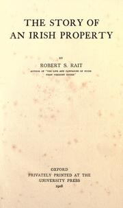
Search results from Open Library.
Recent natural events nearby
Ground air-quality sensors
Recently spotted species
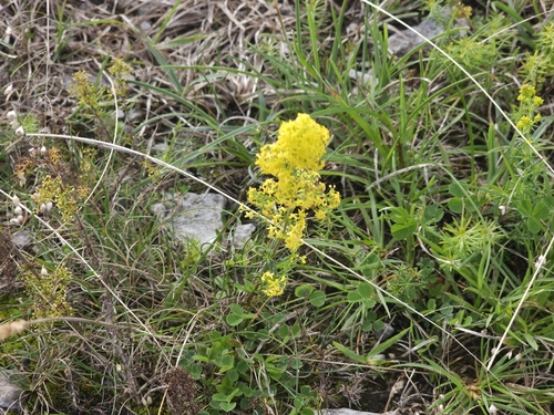
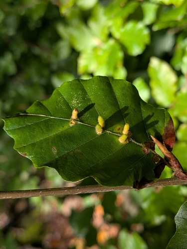
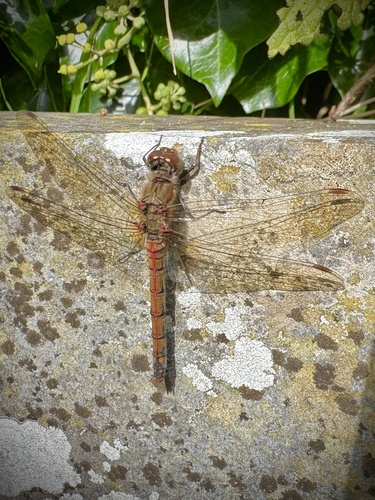
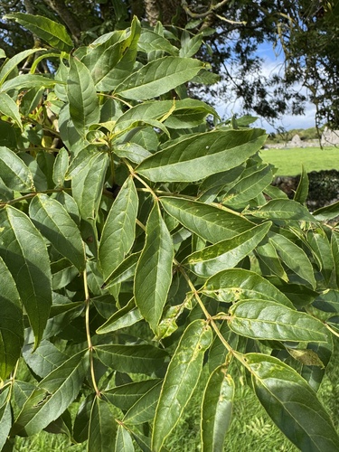
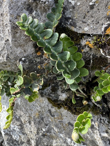
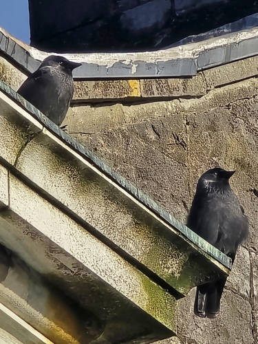
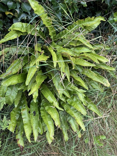
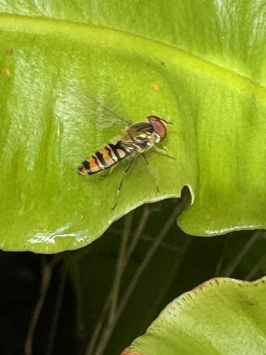
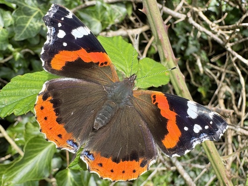
Research-grade observations from iNaturalist (within ~15 mi).
Events
Gallery
Sources
- • Wikipedia
- • Wikidata
- • iNaturalist
- • Open-Meteo / sunrise-sunset.org
- • Wikipedia Pageviews API
- • Open Library