Browse / Ireland / Wexford / Killurin
Killurin
Wexfordvillage

Killurin
Demographic figures from Central Statistics Office (Ireland). Overview below cites Wikipedia and may reference a different year.
City facts
Overview
Killurin is a village in County Wexford, Ireland on the R730 regional road. Sited along the banks of the River Slaney, it is approximately 10 kilometres north-west of Wexford town. The village is in a townland and civil parish of the same name.
Read more on WikipediaHistory & geography
History
A Norman castle was built at the Deeps (Crossabeg) on the edge of the River Slaney in the 14th or 15th century. This castle, called the Deeps Castle, although now in ruins, is notable as one of the few remaining examples of a tower house of its kind. Forty years after Oliver Cromwell's invasion of Wexford, William of Orange fought and defeated the troops of his brother-in law, James II at the Battle of the Boyne in 1690. Afterwards James is said to have stayed in hiding at the Deeps Castle. The castle itself has since fallen into disrepair. The main chimney in the south wall collapsed into the building, weakening the entire structure and altering the distinctive skyline of the area. The Deeps Castle is not actually located in Killurin, but in the parish of Crossabeg, adjacent to the parish boundary offered by the River Slaney. The nearby County Landfill is usually called the Killurin Landfill, in order to avoid confusion, as it is located closer to Killurin than it is to Crossabeg village itself. In the 1950s, an ancient urn and other artifacts were discovered in a sandpit which spanned the Laffan-Freeman farm. The urn is now preserved in the National Museum. The sandpit, in which these finds were made, was the source of the sand which built many of County Wexford's schools in the 1940s and 1950s. The Dublin-Wexford-Rosslare railway line runs through Killurin along the west bank of the River Slaney. During the years of the Irish War of Independence and Irish Civil War in the 1920s, the railway was frequently the target of the local IRA unit, the Kyle Flying Column. Several trains were derailed and rolling stock was destroyed during attempts to disrupt the communication between Dublin and Wexford.
Excerpted from the corresponding Wikipedia article (CC BY-SA).
Geography
Coordinates & boundaries from the US Census TIGER/Line shapefiles.
Climate
Air quality
Walkability
Amenities nearby
Wildlife & biodiversity
Earthquake history
Photos
Sights & places nearby
Notable people from here
Nearby places in Wexford
Geography & sun
Elevation, sunrise/sunset and daylight from Open-Meteo. Solar climatology from NASA POWER.
Nearby airports
Public attention
Pageview totals from the Wikimedia Pageviews API.
Books about this place
Recent natural events nearby
Ground air-quality sensors
Recently spotted species
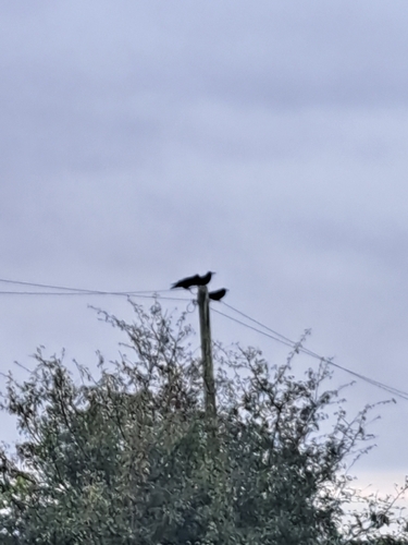



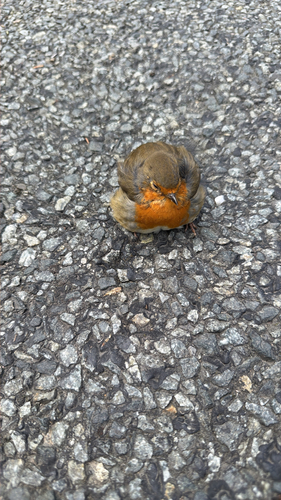

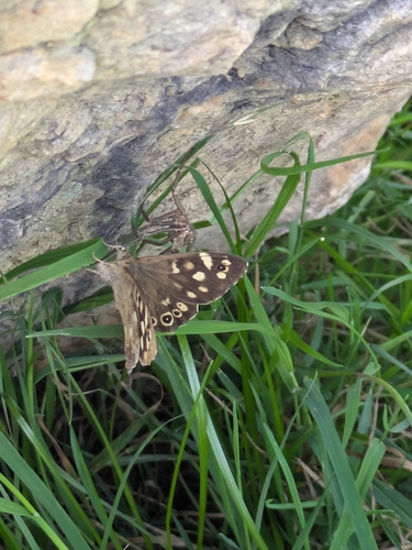


Research-grade observations from iNaturalist (within ~15 mi).
Events
Gallery
Sources
- • Wikipedia
- • iNaturalist
- • Open-Meteo / sunrise-sunset.org
- • Wikipedia Pageviews API