Browse / Ireland / Wexford / Kiltealy
Kiltealy
Wexfordvillage

Kiltealy
Demographic figures from Central Statistics Office (Ireland). Overview below cites Wikipedia and may reference a different year.
City facts
Overview
Kiltealy is a small village in the southeastern corner of Ireland. It is situated on the foothills of the Blackstairs Mountains in County Wexford at the junction of the R702 and R730 regional roads, on the eastern flank of the Blackstairs Mountains. The previous spelling was Cill Teidhile which means the Chapel/cemetery of Teidhil. Teidhil would most likely be the a first name although no longer in use as such.
Read more on WikipediaHistory & geography
Geography
Coordinates & boundaries from the US Census TIGER/Line shapefiles.
Climate
Air quality
Walkability
Amenities nearby
Wildlife & biodiversity
Earthquake history
Photos
Sights & places nearby
Notable people from here
Nearby places in Wexford
Geography & sun
Elevation, sunrise/sunset and daylight from Open-Meteo. Solar climatology from NASA POWER.
Nearby airports
Public attention
Pageview totals from the Wikimedia Pageviews API.
Books about this place
Recent natural events nearby
Ground air-quality sensors
Recently spotted species
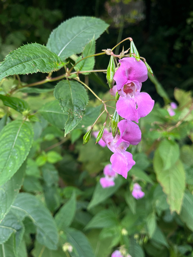
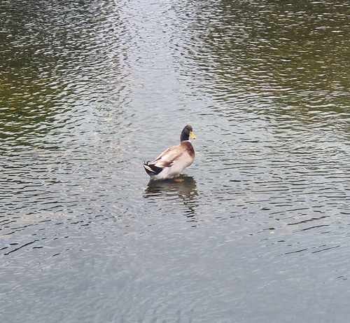
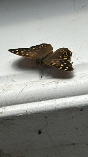
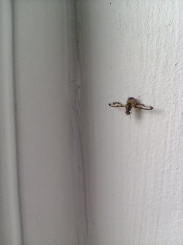
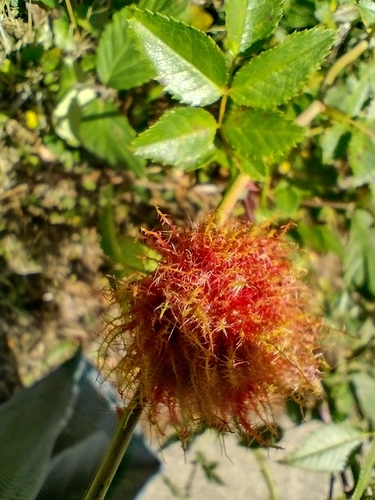
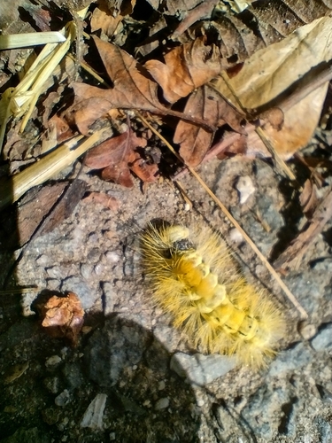
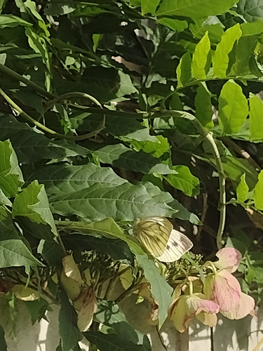
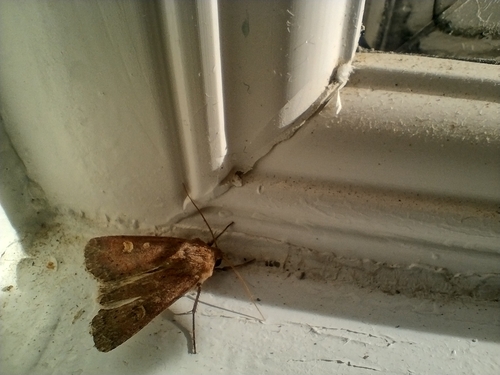
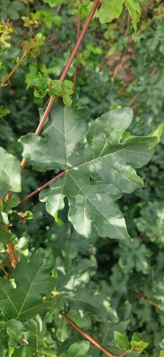
Research-grade observations from iNaturalist (within ~15 mi).
Events
Gallery
Sources
- • Wikipedia
- • iNaturalist
- • Open-Meteo / sunrise-sunset.org
- • Wikipedia Pageviews API