Browse / Ireland / Clare / Liscannor
Liscannor
Clarevillage
Demographic figures from Central Statistics Office (Ireland). Overview below cites Wikipedia and may reference a different year.
City facts
Facts from Wikidata (CC0).
Overview
Liscannor is a coastal village in County Clare, Ireland. It is located between Lahinch and Doolin, close to the Cliffs of Moher. As of the 2022 census it had a population of 135.
Read more on WikipediaHistory & geography
History
Liscannor probably takes its name from an old fort that was located here. The village of Liscannor is of late 18th century origin. According to an 1814 survey there were nearly 200 houses in it at the time, and about ten of them had flag roofs. 40 houses were used by fishermen. Whilst there was once a Gaeltacht (Irish-speaking area) around Liscannor, by 1956 the loss of native speakers meant that it could no longer be considered as such.
Geography
Lying on the west coast of Ireland, on Liscannor Bay, the village is located on the R478 regional road between Lahinch, to the east, and Doolin, to the north. The Cliffs of Moher are about north west of the village. Between Lahinch and Liscannor lies the small village of Moymore. Liscannor is located in the civil parish of Kilmacrehy.
Excerpted from the corresponding Wikipedia article (CC BY-SA).
Geography
Coordinates & boundaries from the US Census TIGER/Line shapefiles.
Climate
Air quality
Walkability
Amenities nearby
Wildlife & biodiversity
Most-observed species
- RookCorvus frugilegus Linnaeus, 1758 · Aves1,286
- Herring GullLarus argentatus Pontoppidan, 1763 · Aves1,140
- White WagtailMotacilla alba Linnaeus, 1758 · Aves936
- Northern FulmarFulmarus glacialis (Linnaeus, 1761) · Aves794
- Meadow PipitAnthus pratensis (Linnaeus, 1758) · Aves725
- European StarlingSturnus vulgaris Linnaeus, 1758 · Aves725
- Western JackdawColoeus monedula (Linnaeus, 1758) · Aves681
- Great Black-backed GullLarus marinus Linnaeus, 1758 · Aves674
Citizen-science & research observations from the Global Biodiversity Information Facility (GBIF).
Earthquake history
Events from the USGS Earthquake Catalog (global) (FDSN Event Web Service).
Photos
Sights & places nearby
Notable people from here
Geography & sun
Elevation, sunrise/sunset and daylight from Open-Meteo. Solar climatology from NASA POWER.
Nearby airports
Public attention
Pageview totals from the Wikimedia Pageviews API.
Books about Liscannor
Search results from Open Library.
Recent natural events nearby
Ground air-quality sensors
Recently spotted species
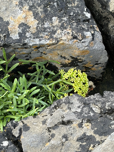
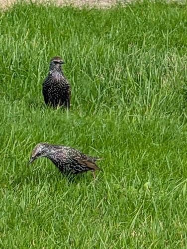
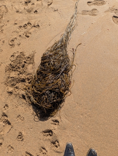
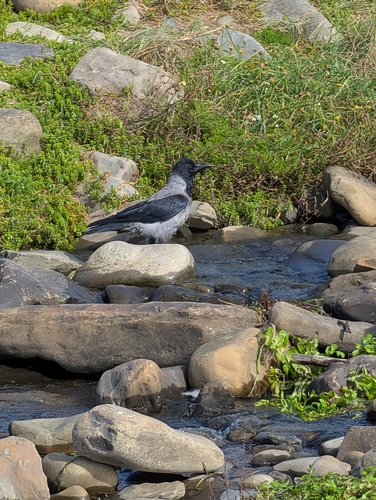
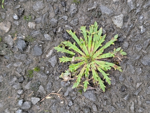
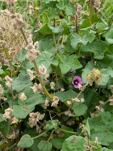
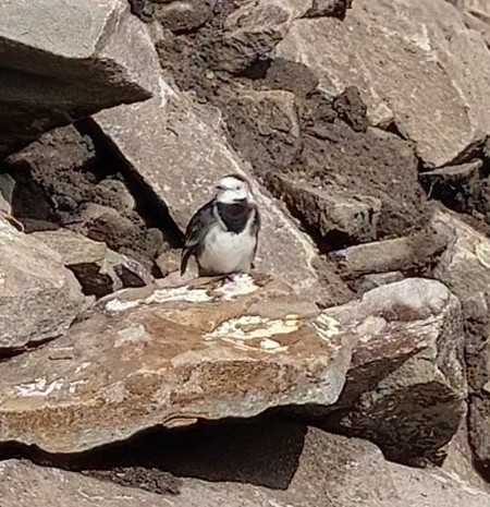
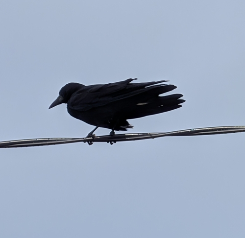
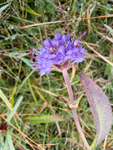
Research-grade observations from iNaturalist (within ~15 mi).
Events
Gallery
Sources
- • Wikipedia
- • Wikidata
- • USGS Earthquake Catalog (global feed)
- • GBIF (Global Biodiversity Information Facility)
- • iNaturalist
- • Open-Meteo / sunrise-sunset.org
- • Wikipedia Pageviews API
- • Open Library