Browse / Ireland / Kildare / Monasterevin
Monasterevin
Kildaretown

Monasterevin
Total population
5,307
Demographic figures from Central Statistics Office (Ireland). Overview below cites Wikipedia and may reference a different year.
City facts
Facts from Wikidata (CC0).
Overview
Monasterevin, sometimes Monasterevan, is a town in County Kildare, Ireland. It lies on the River Barrow and the Barrowline, a canal branch of the Grand Canal. In the 20 years between the 2002 and 2022 censuses, the population more than doubled, from 2,583 to 5,307 inhabitants. The town is in a townland and civil parish of the same name.
Read more on WikipediaHistory & geography
History
{{Historical populations|state=collapsed |1821|1275 |1831|1441 |1841|1097 |1851|996 |1861|908 |1871|1040 |1881|1044 |1891|939 |1901|762 |1911|732 |1926|574 |1936|580 |1946|448 |1951|415 |1956|1180 |1961|1273 |1966|1413 |1971|1619 |1981|2146 |1986|2143 |1991|2224 |1996|2302 |2002|2583 |2006|3017 |2011|3710 |2016|4246 |2022|5302 | footnote= Evidence of the early Stone Age is sketchy but there are traces of Neolithic man in the area. A dolmen, now collapsed, once marked the burial of some important tribal potentate in a local townland. During the Barrow drainage, hundreds of stone axe heads were found on the river-bed at each of the three major crossing points that occur within the town. Their presence may indicate the importance of Monasterevin as a fording point on the mystical Baru. Neolithic travellers may have sacrificed the valuable axe heads to the spirit of the Barrow or Baru. Or they may have been placed in the shallow water to mark the significance of crossing the boundary between two peoples. The Bronze Age in Monasterevin was the age of the small farmer, as evidenced by several earthwork enclosures. One such is the earthwork enclosure just above the town referred to as the Aquafort, resting as it does on the spit of land where the River Figile joins the River Barrow. At the time, it would have been in use the water level was much higher, meaning that approaching the defences was more difficult. The pattern of fortified settlement continues into the Iron Age. We also know that by this time, the bogland around Monasterevin was fully formed. Traversing these areas would have been difficult, but the importance of the fords on the Barrow meant that some solution had to be found. The equivalent of the M7 motorway was needed, and indeed it was provided by what is…
Excerpted from the corresponding Wikipedia article (CC BY-SA).
Geography
Coordinates & boundaries from the US Census TIGER/Line shapefiles.
Climate
Air quality
Walkability
Amenities nearby
Wildlife & biodiversity
Earthquake history
Photos
Sights & places nearby
Notable people from here


People born within ~10 km, from Wikidata (CC0). Click any name for their Wikipedia article.
Nearby places in Kildare
Geography & sun
Elevation, sunrise/sunset and daylight from Open-Meteo. Solar climatology from NASA POWER.
Nearby airports
Public attention
Pageview totals from the Wikimedia Pageviews API.
Books about Monasterevin
Search results from Open Library.
Recent natural events nearby
Ground air-quality sensors
Recently spotted species
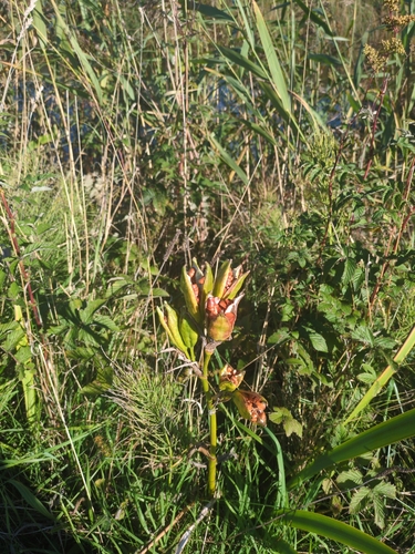
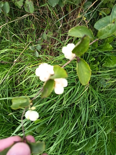
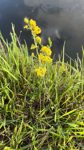
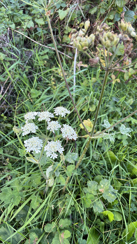


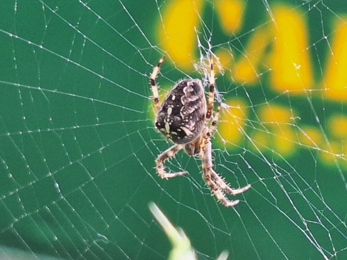
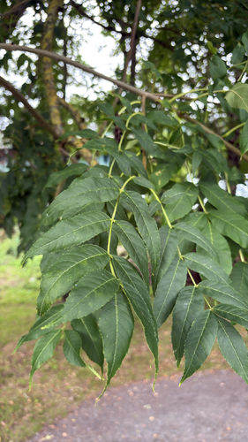
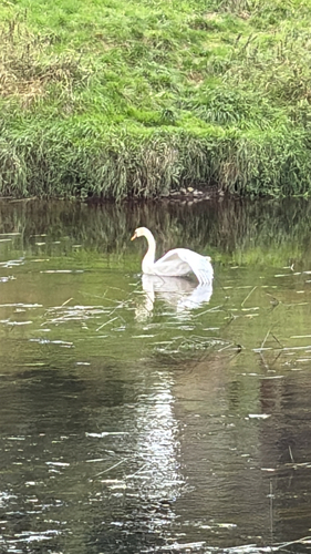
Research-grade observations from iNaturalist (within ~15 mi).
Events
Gallery
Sources
- • Wikipedia
- • Wikidata
- • iNaturalist
- • Open-Meteo / sunrise-sunset.org
- • Wikipedia Pageviews API
- • Open Library