Browse / Ireland / Wexford / New Ross
New Ross
Wexfordtown

New Ross
Total population
8,610
Demographic figures from Central Statistics Office (Ireland). Overview below cites Wikipedia and may reference a different year.
City facts
Facts from Wikidata (CC0).
Overview
New Ross is a town in southwest County Wexford, Ireland, on the River Barrow on the border with County Kilkenny, 20 kilometres (12 mi) northeast of Waterford. In 2022, it had a population of 8,610, making it the fourth-largest town in the county.
Read more on WikipediaHistory & geography
History
The port town of New Ross dates from the pre-Middle Ages. The earliest settlement in this area dates to the 6th century when St. Abban of Magheranoidhe founded a monastery in what is now Irishtown. Its name, Ros, was shortened from Ros Mhic Treoin, or the Wood of the Son of Treoin. New Ross was in the territory of Dermot McMurrough and came to prominence when the Anglo-Normans conquered the region. The Norman knight William Marshall and his bride Isabella de Clare arrived during the early part of the 13th century. An earthen defensive structure called a motte was built at Old Ross in order to hold the newly conquered territory. A medieval borough sprung up around it - peopled by English and Welsh settlers. The arrival of Isabella and William is described in the Chronicles of Ross, which are in the British Museum. It records that in 1189, Isabella set about "building a lovely city on the banks of the Barrow". The town grew around the bridge built by William Marshal, son-in-law of Richard de Clare, 2nd Earl of Pembroke (Strongbow), and a leader of the Norman invasion of Ireland. The town of New Ross (the town of the new bridge) was granted a Royal Charter in around 1279. In the late 13th century the town was placed for a time under a papal interdict, following a riot in which several monks of the Order of Crutched Friars were killed. St Mary's Abbey (Church of Ireland) was built in 1210. There are two Roman Catholic churches, the parish church of SS. Michael and Mary completed in 1902, and the Augustinian church opened in 1835. The town was fought over in the Irish Confederate Wars of the 1640s. In 1643, the town resisted the siege by James Butler, 1st Duke of Ormonde, who fought a battle near the town with an Irish army under Thomas Preston, 1st Viscount Tara…
Excerpted from the corresponding Wikipedia article (CC BY-SA).
Geography
Coordinates & boundaries from the US Census TIGER/Line shapefiles.
Climate
Air quality
Walkability
Amenities nearby
Wildlife & biodiversity
Earthquake history
Photos
Sights & places nearby
Notable people from here


People born within ~10 km, from Wikidata (CC0). Click any name for their Wikipedia article.
Geography & sun
Elevation, sunrise/sunset and daylight from Open-Meteo. Solar climatology from NASA POWER.
Nearby airports
Public attention
Pageview totals from the Wikimedia Pageviews API.
Books about New Ross


Search results from Open Library.
Recent natural events nearby
Ground air-quality sensors
Recently spotted species
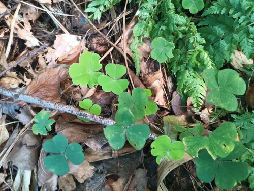
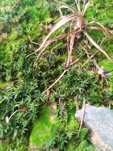
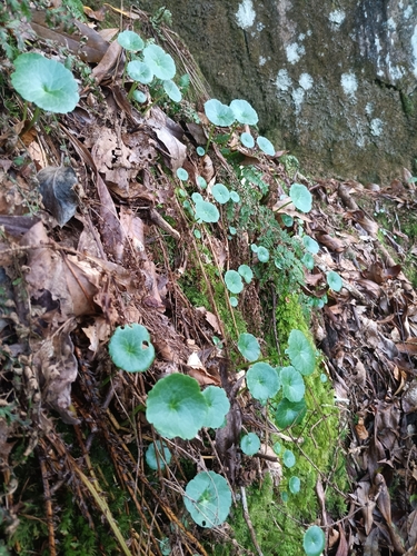
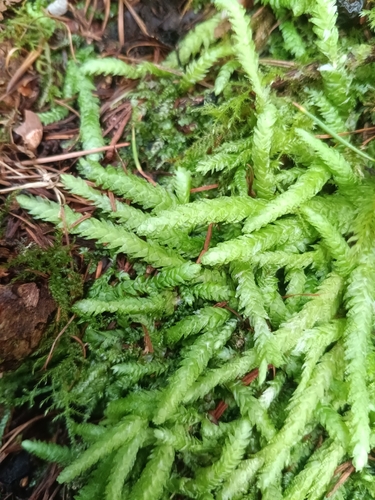
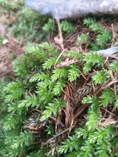
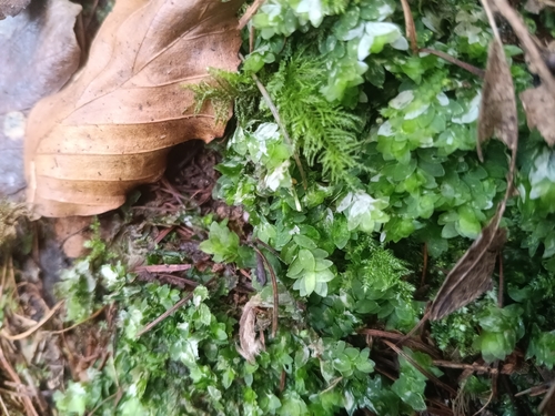
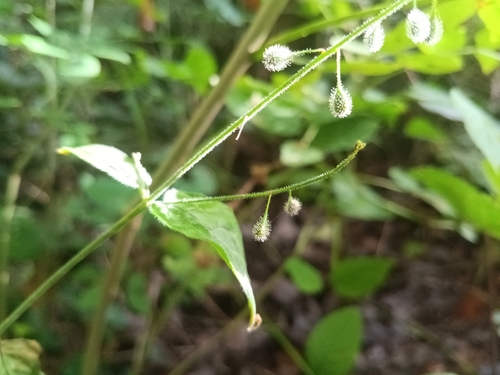
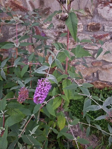
Research-grade observations from iNaturalist (within ~15 mi).
Events
Gallery
Sources
- • Wikipedia
- • Wikidata
- • iNaturalist
- • Open-Meteo / sunrise-sunset.org
- • Wikipedia Pageviews API
- • Open Library