Browse / Ireland / Laois / Portlaoise
Portlaoise
Laoistown

Portlaoise
Total population
23,494
Demographic figures from Central Statistics Office (Ireland). Overview below cites Wikipedia and may reference a different year.
City facts
Facts from Wikidata (CC0).
Overview
Portlaoise, known until 1929 as Maryborough, is the county town of County Laois, Ireland. It is in the South Midlands in the province of Leinster.
Read more on WikipediaHistory & geography
History
The site of the present town is referred to in the Annals of the Four Masters, written in the 1630s, as Port Laoighisi. The present town originated as a settlement around the old Fort, "Fort of Leix" or "Fort Protector", the remains of which can still be seen in the town centre. Its construction began in 1548 under the supervision of the Lord Deputy, Sir Edward Bellingham, in an attempt to secure English control of the county following the exile of Celtic chieftains the previous year. The Fort's location on rising ground, surrounded to the south and east by the natural defensive barricades of the River Triogue and an esker known locally as 'the Ridge', greatly added to its strategic importance. An Act of Parliament established the town proper during the reign of Mary I in 1557. Though the early Fort and its surrounding settlement had been known by a number of names, such as Governor, Port Laois, Campa and Fort Protector, the new town was named Maryborough (IPA [ˈmarbrə]) and the county was named Queen's County in Mary's honour. In about 1556, Portlaoise acquired its first parish church—Old St Peter's—situated to the west of Fort Protector. Although first built as a Catholic church, due to Mary's re-establishment of Catholicism, the church was used for Protestant services after the accession to the English throne of Mary's half-sister, Elizabeth. The area had been a focus of the rebellion of Ruairí Óg Ó Mórdha, a local chieftain who had rebelled and had lost his lands, which the Crown wanted to be settled by reliable landowners. For the next fifty or so years, the new English settlers in Maryborough fought a continual, low-scale war against the Gaelic chieftains who opposed the new settlement. The town had been burnt several times by the end of the 16th century.…
Excerpted from the corresponding Wikipedia article (CC BY-SA).
Geography
Coordinates & boundaries from the US Census TIGER/Line shapefiles.
Climate
Air quality
Walkability
Amenities nearby
Wildlife & biodiversity
Most-observed species
- Common BuzzardButeo buteo (Linnaeus, 1758) · Aves201
- RookCorvus frugilegus Linnaeus, 1758 · Aves183
- Eurasian BlackbirdTurdus merula Linnaeus, 1758 · Aves177
- European RobinErithacus rubecula (Linnaeus, 1758) · Aves176
- Common Wood-PigeonColumba palumbus Linnaeus, 1758 · Aves174
- Hooded CrowCorvus cornix Linnaeus, 1758 · Aves163
- Common ChaffinchFringilla coelebs Linnaeus, 1758 · Aves149
- Barn SwallowHirundo rustica Linnaeus, 1758 · Aves149
Citizen-science & research observations from the Global Biodiversity Information Facility (GBIF).
Earthquake history
Events from the USGS Earthquake Catalog (global) (FDSN Event Web Service).
Photos
Sights & places nearby
Notable people from here


People born within ~10 km, from Wikidata (CC0). Click any name for their Wikipedia article.
Nearby places in Laois
Geography & sun
Elevation, sunrise/sunset and daylight from Open-Meteo. Solar climatology from NASA POWER.
Nearby airports
Public attention
Pageview totals from the Wikimedia Pageviews API.
Books about Portlaoise
Search results from Open Library.
Recent natural events nearby
Ground air-quality sensors
Recently spotted species
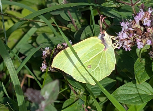
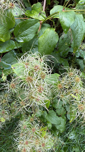
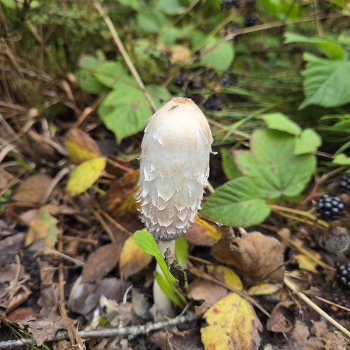
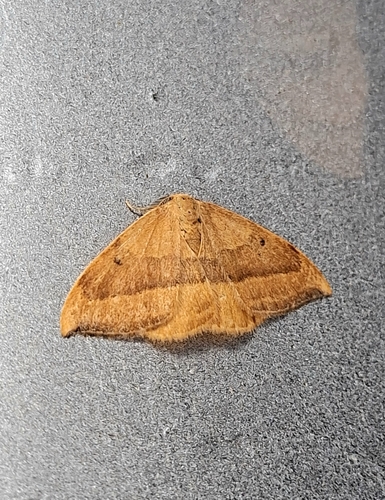
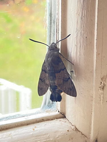
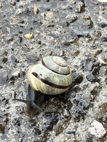
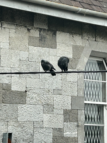
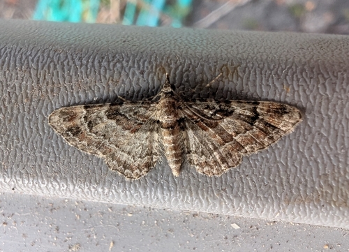
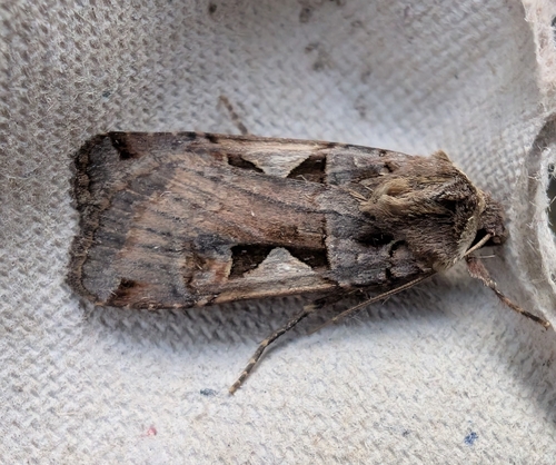
Research-grade observations from iNaturalist (within ~15 mi).
Events
Gallery
Sources
- • Wikipedia
- • Wikidata
- • USGS Earthquake Catalog (global feed)
- • GBIF (Global Biodiversity Information Facility)
- • iNaturalist
- • Open-Meteo / sunrise-sunset.org
- • Wikipedia Pageviews API
- • Open Library