Browse / Ireland / Wexford / Raheen
Raheen
Wexfordvillage
Demographic figures from Central Statistics Office (Ireland). Overview below cites Wikipedia and may reference a different year.
City facts
Facts from Wikidata (CC0).
Overview
Raheen is a townland and village in County Wexford, Ireland. It lies 27 km from Wexford, 11 km from New Ross, and 23 km from Enniscorthy.
Read more on WikipediaHistory & geography
History
Raheen, in Irish , means 'little rath or ringfort'. For most of the Norman period, the area was controlled by the Howell family. They gave their name to nearby "Courthoyle", where they had a chapel and castle. During the Irish Rebellion of 1798, one of the main rebel camps was located at nearby Carrigbyrne Hill. A Roman Catholic (R.C.) church previously existed at Courthoyle, near the village of Raheen. The current R.C. church of Raheen dates from 1814. A Protestant church that once existed in the townland of Templeshelin (located about 1 km away) has since been demolished. This belonged to the former Church of Ireland parish of Adamstown. The adjacent cemetery is still in existence and contains some of the victims of the Scullabogue barn fire that took place during the Irish Rebellion of 1798, as well as a small number of other graves.
Excerpted from the corresponding Wikipedia article (CC BY-SA).
Geography
Coordinates & boundaries from the US Census TIGER/Line shapefiles.
Climate
Air quality
Walkability
Amenities nearby
Wildlife & biodiversity
Earthquake history
Photos
Sights & places nearby
Notable people from here
Geography & sun
Elevation, sunrise/sunset and daylight from Open-Meteo. Solar climatology from NASA POWER.
Nearby airports
Public attention
Pageview totals from the Wikimedia Pageviews API.
Books about this place
Recent natural events nearby
Ground air-quality sensors
Recently spotted species


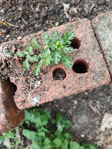
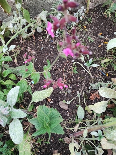
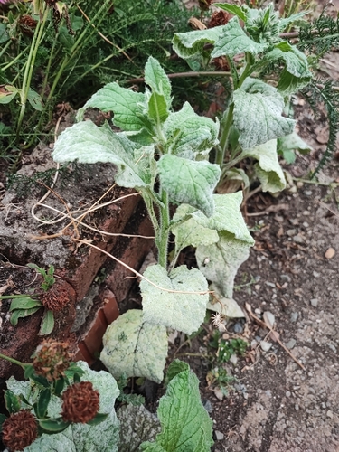
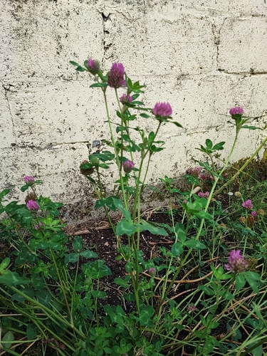



Research-grade observations from iNaturalist (within ~15 mi).
Events
Gallery
Sources
- • Wikipedia
- • Wikidata
- • iNaturalist
- • Open-Meteo / sunrise-sunset.org
- • Wikipedia Pageviews API