Browse / Ireland / Meath / Rathcairn
Rathcairn
Meathvillage

Rathcairn
Demographic figures from Central Statistics Office (Ireland). Overview below cites Wikipedia and may reference a different year.
City facts
Facts from Wikidata (CC0).
Overview
Ráth Chairn is a small village and Gaeltacht area in County Meath, Ireland. It is about 55 km northwest of Dublin, in the triangle between Navan, Athboy and Trim. The Gaeltacht area was established in 1935, when 27 families from Connemara, mostly from Ceantar na nOileán, were settled on land previously acquired by the Irish Land Commission, followed by a further 11 families in 1937. In all 443 people moved to the area. In 1967 Ráth Chairn received official recognition as a Gaeltacht, following a local campaign. Today, it and the community of Baile Ghib, beyond Navan but fairly near, make up the Meath Gaeltacht. According to the 2016 census 16% of the combined populations of Ráth Chairn and Baile Ghib speak Irish on a daily basis outside the education system.
Read more on WikipediaHistory & geography
History
The Meath Gaeltacht was formed when the Irish Land Commission redistributed large portions of the estates of landlords, and farmers from the Gaeltacht areas of the western seaboard were resettled in Meath in the 1930s. The migrants were from Cork, Kerry, Connemara, Mayo and Donegal. The government's goals were to relieve overcrowding and poverty in the western counties and to spread the Irish language. This "colony", as it was known, was also a social experiment to redress the 17th-century ethnic cleansing of Ireland by Oliver Cromwell's draconian action ‘To hell or Connaught’. However, due to the limited size of the Gaeltacht, the difficulty of providing a wide range of services through Irish led to bilingualism becoming necessary. Ráth Chairn was founded in 1935 when 27 families from Connemara moved east to live on land acquired by the Land Commission. The initiative promised potential migrants a higher quality of life, greater crop yields than Connemara and newly built homes. The proposal also aimed to stop the decline of the Irish language by creating an Irish-speaking community in a new location. Each family was provided with a Land Commission house and a farm of approximately 8.9 hectares (22 acres), a sow, piglets and basic implements. A further 11 families joined the original settlers in 1937. For the most part, when the migrants arrived, they were welcomed into a county where the ethos of the romantic Gaelic revival was in full swing. However, resentment manifested itself in local newspapers, that the migrants were given the land in preference to the local farmers. The Meath Chronicle reported on 27 April 1935 that a local Meath resident was arrested for threatening the life of a Land Commission employee but was released without charge and secondhand…
Excerpted from the corresponding Wikipedia article (CC BY-SA).
Geography
Coordinates & boundaries from the US Census TIGER/Line shapefiles.
Climate
Air quality
Walkability
Amenities nearby
Wildlife & biodiversity
Earthquake history
Photos
Sights & places nearby
Notable people from here


People born within ~10 km, from Wikidata (CC0). Click any name for their Wikipedia article.
Geography & sun
Elevation, sunrise/sunset and daylight from Open-Meteo. Solar climatology from NASA POWER.
Nearby airports
Public attention
Pageview totals from the Wikimedia Pageviews API.
Books about this place
Recent natural events nearby
Ground air-quality sensors
Recently spotted species
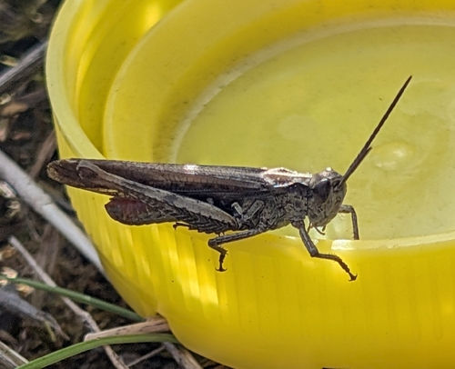
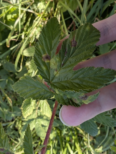
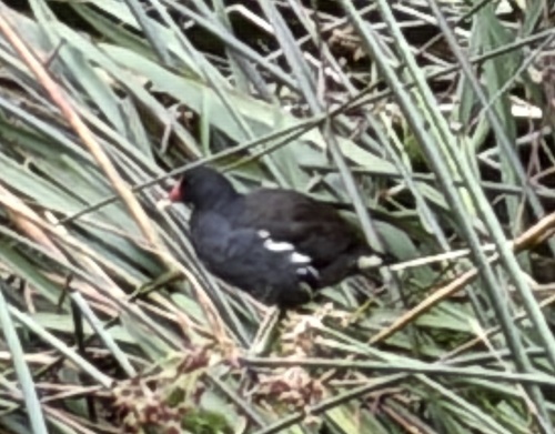
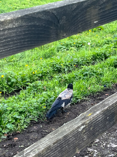
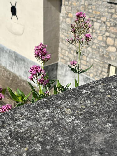
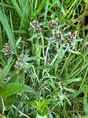
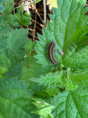
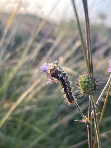
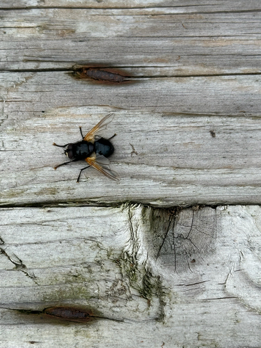
Research-grade observations from iNaturalist (within ~15 mi).
Events
Gallery
Sources
- • Wikipedia
- • Wikidata
- • iNaturalist
- • Open-Meteo / sunrise-sunset.org
- • Wikipedia Pageviews API