Browse / Ireland / Roscommon / Roosky
Roosky
Roscommonvillage

Roosky
Demographic figures from Central Statistics Office (Ireland). Overview below cites Wikipedia and may reference a different year.
City facts
Facts from Wikidata (CC0).
Overview
Roosky, Ruskey, or Rooskey is a village on the River Shannon in the northern midlands of Ireland, near the point where counties Leitrim, Longford, and Roscommon meet. The N4 road from Dublin to Sligo passes by the Leitrim side of the village.
Read more on WikipediaHistory & geography
History
In pre-Christian times, Roosky was a major gateway to Connacht. It's importance was considerable as it was where the three Kingdoms of Breifne, Mide and Connacht met. Roosky owes its origins to St. Barry and his 6th-century monastic settlement once located 5km to the south of Roosky village. There were originally seven churches at Kilbarry but little remains now. The original navigation through Roosky was through a lock on a canal to the west of the River Shannon, built in 1759. Alongside the canal was a corn mill, of which there is minimal trace of today. The 1840's saw the Commissioners for the Improvement of the Navigation of the River Shannon reshape the village. The current masonry road bridge was finished in 1845. The nearby locks and lock keepers house was also built under the extensive civil engineering scheme. Roosky was a lively market village in the mid-20th Century. The bridge was the scene of conflict during the Irish Civil War in 1922 and was also an important focal point for the National Farmers Association strike in 1967. The portion of the village in County Leitrim was formerly known as Georgia or Gorteenoran () and constituted 5 houses and three licensed premises in 1925. This name is not in use today.
Excerpted from the corresponding Wikipedia article (CC BY-SA).
Geography
Coordinates & boundaries from the US Census TIGER/Line shapefiles.
Climate
Air quality
Walkability
Amenities nearby
Wildlife & biodiversity
Earthquake history
Photos
Sights & places nearby
Notable people from here


People born within ~10 km, from Wikidata (CC0). Click any name for their Wikipedia article.
Nearby places in Roscommon
Geography & sun
Elevation, sunrise/sunset and daylight from Open-Meteo. Solar climatology from NASA POWER.
Nearby airports
Public attention
Pageview totals from the Wikimedia Pageviews API.
Books about this place
Recent natural events nearby
Ground air-quality sensors
Recently spotted species
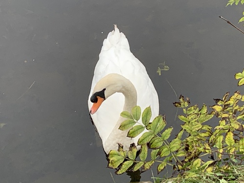
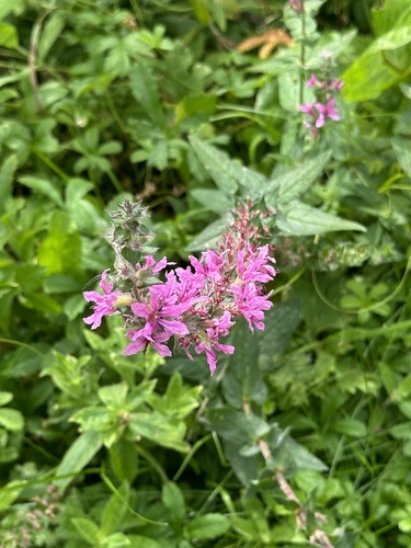
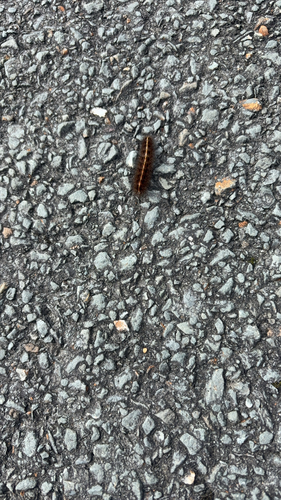
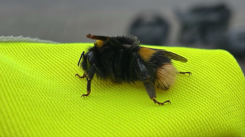
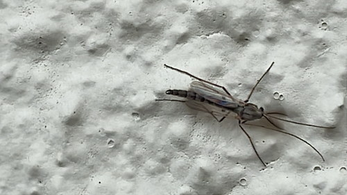
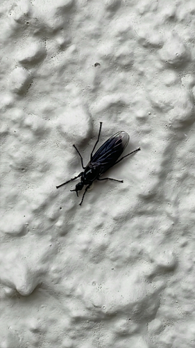
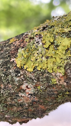
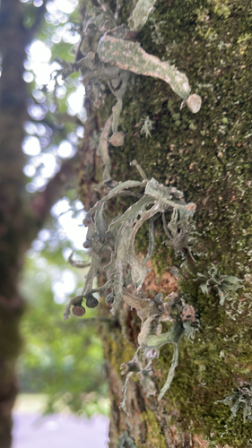
Research-grade observations from iNaturalist (within ~15 mi).
Events
Gallery
Sources
- • Wikipedia
- • Wikidata
- • iNaturalist
- • Open-Meteo / sunrise-sunset.org
- • Wikipedia Pageviews API