Browse / Ireland / Tipperary / Templemore
Templemore
Tipperarytown

Templemore
Total population
1,943
Demographic figures from Central Statistics Office (Ireland). Overview below cites Wikipedia and may reference a different year.
City facts
Facts from Wikidata (CC0).
Overview
Templemore is a town in County Tipperary, Ireland. It is a civil parish in the historical barony of Eliogarty. It is part of the parish of Templemore, Clonmore and Killea in the Roman Catholic Archdiocese of Cashel and Emly.
Read more on WikipediaHistory & geography
History
The ancient territory of Éile obtained its name from pre-historic inhabitants called the Eli, about whom little is known beyond what may be gathered from legends and traditions. The extent of Éile varied throughout the centuries with the rise and fall of the tribes in occupation. During this century however Éile appears to have reached its greatest extent, stretching from Croghan Bri Eli (Croghan Hill in Offaly) to just south of Cashel (in Corca Eathrach Eli). The southern part of this territory embraced the baronies of Eliogarty and Ikerrin, a great part of the modern barony of Middle Third, the territory of Ileagh (or Ileigh) and a portion of the present barony of Kilnamanagh Upper. By the 8th century, the territory of Ancient Éile had broken up into a number of petty kingdoms: the O'Carroll occupied the northern portion, the O'Spillanes held Ileagh, the Eóganacht Chaisil had annexed Middle Third. The ancient name of the district on which the town now stands was Tuatha Corca Teine. Teine was supposed to have been the son of the King of Connacht, arriving in the district shortly after Saint Patrick. Monastic settlements were located at the site of Teine's fort, 'Land of the Monks' (). A holy man named Silean (anglicised as Sheelan) is reputed to have accompanied St Patrick and to have established a monastery in the area. There is no townland called Templemore. The townland on which the town is built is Kiltillane (), meaning Saint Sheelan's Church. With the Anglo-Norman invasion of Ireland in 1169, a powerful Norman family – the Butlers – became the new overlords. Early in the 14th century, they were raised to the Earldom of Ormond and held palatine rights in County Tipperary. The ruins of Templemore Abbey, which may have been established by the Knights Templar,…
Excerpted from the corresponding Wikipedia article (CC BY-SA).
Geography
Coordinates & boundaries from the US Census TIGER/Line shapefiles.
Climate
Air quality
Walkability
Amenities nearby
Wildlife & biodiversity
Earthquake history
Photos
Sights & places nearby
Notable people from here


People born within ~10 km, from Wikidata (CC0). Click any name for their Wikipedia article.
Nearby places in Tipperary
Geography & sun
Elevation, sunrise/sunset and daylight from Open-Meteo. Solar climatology from NASA POWER.
Nearby airports
Public attention
Pageview totals from the Wikimedia Pageviews API.
Books about Templemore
Search results from Open Library.
Recent natural events nearby
Ground air-quality sensors
Recently spotted species
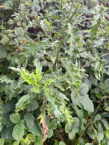
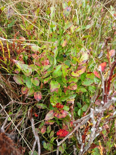
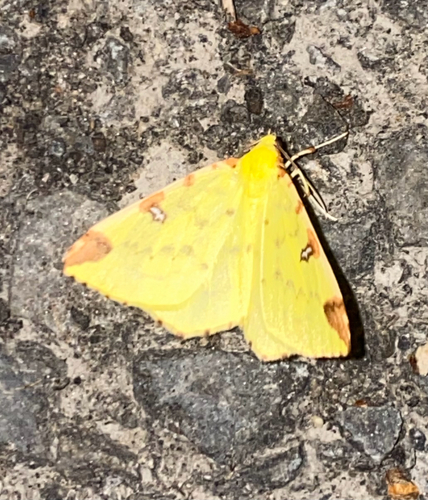
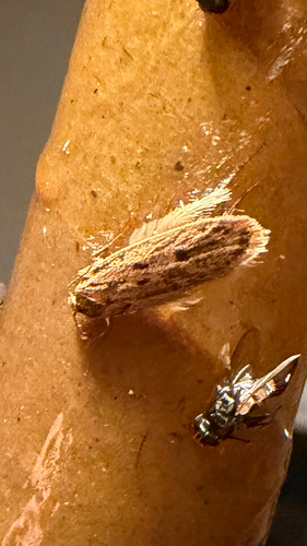
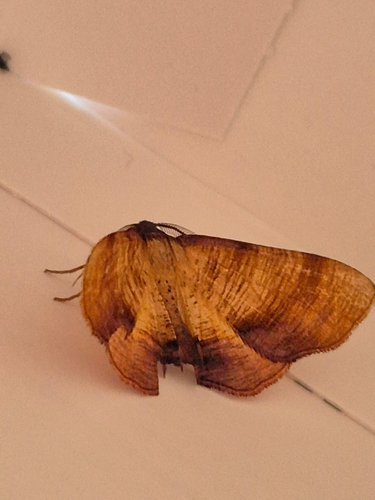
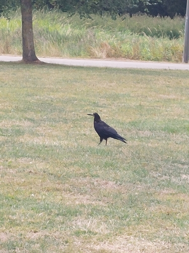
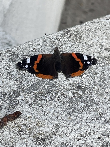
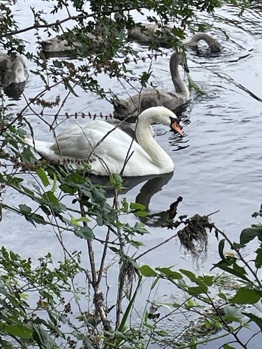
Research-grade observations from iNaturalist (within ~15 mi).
Events
Gallery
Sources
- • Wikipedia
- • Wikidata
- • iNaturalist
- • Open-Meteo / sunrise-sunset.org
- • Wikipedia Pageviews API
- • Open Library