Browse / United States / Illinois / Champaign
Champaign
Illinoiscity

Champaign
Total population
91,951
Median home value
$253,300
Bachelor's+
Median income
$58,903
Demographic figures from US Census Bureau · ACS 5-year estimates. Overview below cites Wikipedia and may reference a different year.
- Special Weather Statement · ModerateSpecial Weather Statement issued September 17 at 4:41AM CDT by NWS Lincoln IL
Source: NOAA National Weather Service.
City facts
Overview
Champaign is a city in Champaign County, Illinois, United States. The population was 88,302 at the 2020 census. It is the tenth-most populous municipality in Illinois and the fourth most populous city in the state outside the Chicago metropolitan area. It is a principal city of the Champaign–Urbana metropolitan area, which had 236,000 residents in 2020.
Read more on WikipediaHistory & geography
History
Champaign was founded in 1855, when the Illinois Central Railroad laid its rail track two miles (3 km) west of downtown Urbana. Originally called "West Urbana", it was renamed Champaign when it acquired a city charter in 1860. Both the city and county name were derived from Champaign County, Ohio, which took its name from the French word for "open, level country". In February 1969, Carl Perkins joined with Bob Dylan to write the song "Champaign, Illinois", which Perkins released on his album On Top. The band Old 97's took another Bob Dylan song, "Desolation Row", and combined its melody with new lyrics to make a new song "Champaign, Illinois", which they released with Dylan's blessing on their 2010 album The Grand Theatre Volume One. It achieved considerable popularity. The two "Champaign, Illinois" songs are not similar to each other, except that Bob Dylan was involved in both of them. On September 22, 1985, Champaign hosted the first Farm Aid concert at the University of Illinois' Memorial Stadium. The concert drew a crowd of 80,000 people and raised over $7 million for American family farmers. In 2005, the University of Illinois in Champaign was the location of the National Science Olympiad Tournament, attracting young scientists from all 50 states. The city also hosts the state Science Olympiad competition every year. The University of Illinois Urbana-Champaign once again hosted the National competition on May 20–22, 2010. Joan Severns was the city's first female mayor, serving between 1979 and 1983. In May 2017, the city's first female-majority city council was sworn in.
Geography
According to the 2021 census gazetteer files, Champaign has a total area of , of which (or 99.37%) is land and (or 0.63%) is water. Champaign is a city in central Illinois and is located on relatively high ground, providing sources to the Kaskaskia River to the west, and the Embarras River to the south. Downtown Champaign drains into Boneyard Creek, which feeds the Saline Branch of the Salt Fork Vermilion River. Champaign shares a border with the neighboring city of Urbana; together they are home to the University of Illinois. Champaign, Urbana, and the bordering village of Savoy form the Champaign–Urbana Metropolitan Area, also known as "Champaign–Urbana". It may also be colloquially known as the "Twin Cities", "Chambana" or "Shampoo–Banana". The city has a humid continental climate, typical of the Midwestern United States, with hot summers and cold, moderately snowy winters. Temperatures exceed 90 °F (32.2 °C) on an average of 24 days per year, and typically fall below 0 °F (−17.8 °C) on six nights annually. The record high temperature in Champaign was 109 °F (42.8 °C) in 1954, and the record low was −25 °F (−31.7 °C), recorded on four separate occasions − in 1899, 1905, 1994 and 1999.
Excerpted from the corresponding Wikipedia article (CC BY-SA).
Demographics & economy
Race & ethnicity
Source: US Census Bureau — American Community Survey, 5-year estimates.
Geography
Coordinates & boundaries from the US Census TIGER/Line shapefiles.
Climate
Current forecast
Forecast for Champaign, IL from NOAA NWS API.
Air quality
Industrial & pollution facilities
Natural hazard risk
Health (adults)
Age-adjusted prevalence estimates from CDC PLACES (latest release).
Walkability
Amenities nearby
Wildlife & biodiversity
Most-observed species
- Northern CardinalCardinalis cardinalis (Linnaeus, 1758) · Aves17,453
- American RobinTurdus migratorius Linnaeus, 1766 · Aves16,128
- American CrowCorvus brachyrhynchos C.L.Brehm, 1822 · Aves14,694
- Blue JayCyanocitta cristata (Linnaeus, 1758) · Aves11,875
- Downy WoodpeckerDryobates pubescens (Linnaeus, 1766) · Aves11,260
- Mourning DoveZenaida macroura (Linnaeus, 1758) · Aves11,243
- Canada Goose (canadensis Group)Branta canadensis (Linnaeus, 1758) · Aves11,067
- American GoldfinchSpinus tristis (Linnaeus, 1758) · Aves10,946
Citizen-science & research observations from the Global Biodiversity Information Facility (GBIF).
Schools
Largest nearby schools
- Central High SchoolHigh · Champaign · 1,597 students · 14.8:1 ratio
- Centennial High SchoolHigh · Champaign · 1,444 students · 13.9:1 ratio
- Urbana High SchoolHigh · Urbana · 1,220 students · 13.6:1 ratio
- Mahomet-Seymour High SchoolHigh · Mahomet · 997 students · 16.1:1 ratio
- Urbana Middle SchoolMiddle · Urbana · 903 students · 12.4:1 ratio
- Middletown Prairie ElementaryElementary · Mahomet · 825 students · 15.3:1 ratio
- Mahomet-Seymour Jr High SchoolMiddle · Mahomet · 810 students · 18:1 ratio
- Lincoln Trail Elem SchoolElementary · Mahomet · 791 students · 20.3:1 ratio
Public K–12 schools within ~10 mi from Urban Institute Education Data Portal (NCES Common Core of Data, 2022).
Earthquake history
Most recent
- M 3.26 — 2025-05-137 km SSW of Lerna, Illinois
- M 3.82 — 2021-06-17Illinois-Indiana border region
Events from the USGS Earthquake Catalog (global) (FDSN Event Web Service).
Photos
Sights & places nearby
Notable people from here


People born within ~10 km, from Wikidata (CC0). Click any name for their Wikipedia article.
Nearby places in Illinois
Geography & sun
Elevation, sunrise/sunset and daylight from Open-Meteo. Solar climatology from NASA POWER.
Nearby airports
Public attention
Pageview totals from the Wikimedia Pageviews API.
Books about Champaign



Search results from Open Library.
Recent natural events nearby
- rx-Young 1 Prescribed Fire, Jefferson, WisconsinWildfires · 2026-05-11 · 190 mi
- rx-Young 1 Prescribed Fire, Jefferson, WisconsinWildfires · 2026-04-13 · 190 mi
- rx-Lapham Good Oak 2026 Prescribed Fire, Waukesha, WisconsinWildfires · 2026-05-06 · 202 mi
- rx-Millville Oak Woodlands SNA South Prescribed Fire, Grant, WisconsinWildfires · 2026-04-29 · 244 mi
Wildfires, storms and other events from NASA EONET (last 12 months, within 250 mi).
Ground air-quality sensors
Recently spotted species
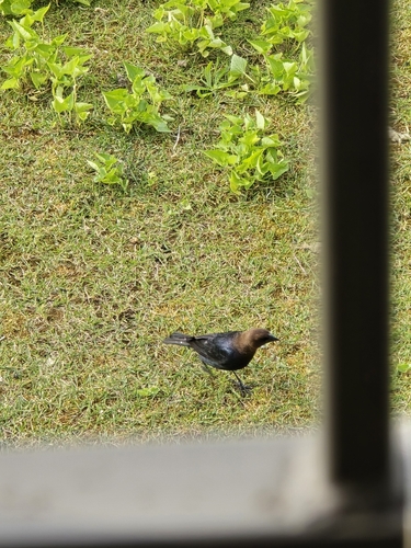
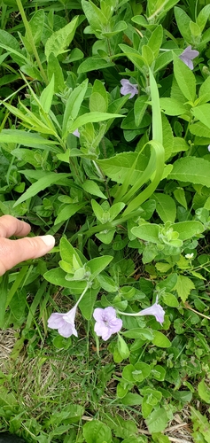
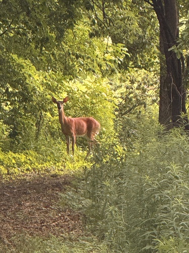
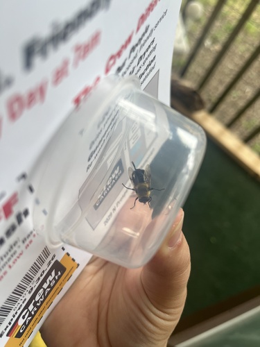
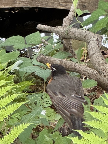
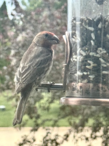
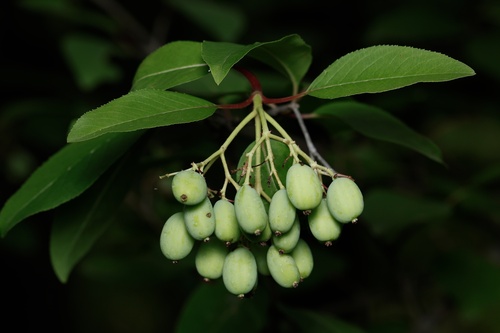
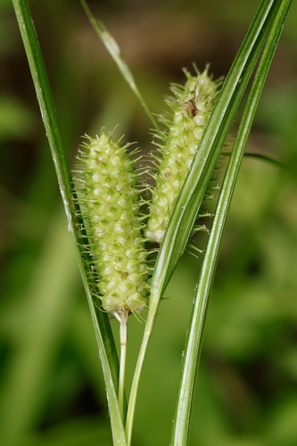
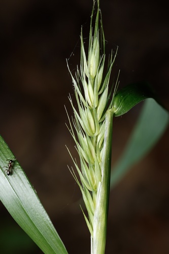
Research-grade observations from iNaturalist (within ~15 mi).
Nearest stream gauge
Events
Gallery
Geotagged photos within ~6 miles of Champaign, from Wikimedia Commons contributors.
 0.3 mi
 0.3 mi
_(10568213724).jpg) 0.7 mi
0.7 mi 0.8 mi
 0.9 mi
 0.9 mi
 0.9 mi
_(16250067128).png) 1.1 mi
1.1 mi_(10585627056).jpg) 1.1 mi
1.1 mi_(10585613724).jpg) 1.1 mi
1.1 mi_(10568167806).jpg) 1.1 mi
1.1 mi_(10568141745).jpg) 1.1 mi
1.1 mi_(10568162806).jpg) 1.1 mi
1.1 mi_(10568197614).jpg) 1.1 mi
1.1 mi_(10585488806).jpg) 1.1 mi
1.1 mi_(10585520984).jpg) 1.1 mi
1.1 mi 1.2 mi
 1.3 mi
 1.3 mi
 1.3 mi
 1.3 mi
 1.3 mi
 1.4 mi
 1.4 mi
Photos via Wikimedia Commons — see each image page for license & attribution.
Sources
- • Wikipedia
- • US Census Bureau (ACS 5-year estimates)
- • NOAA National Weather Service
- • Wikimedia Commons
- • Wikidata
- • USGS Earthquake Catalog (global feed)
- • NCES via Urban Institute Education Data Portal
- • GBIF (Global Biodiversity Information Facility)
- • iNaturalist
- • CDC PLACES
- • Open-Meteo / sunrise-sunset.org
- • Wikipedia Pageviews API
- • Open Library
- • NASA EONET