Browse / United States / Illinois / Chestnut
Chestnut
IllinoisCDP

Chestnut
Total population
347
Median home value
$135,600
Bachelor's+
Median income
$54,091
Demographic figures from US Census Bureau · ACS 5-year estimates. Overview below cites Wikipedia and may reference a different year.
City facts
Facts from Wikidata (CC0).
Overview
Chestnut is a census-designated place in Aetna Township, Logan County, Illinois. As of the 2020 census, its population was 220. The community is located northwest across the railroad tracks along Illinois Route 54 at Dauphin Street. Its claim to fame, for the sake of town promotion, is that it is the geographic center of the state. A small monument to this effect has been erected in a park near the southwest corner of Melvin Street and East Olive street. However, the exact center of Illinois is about eight miles southwest of Chestnut, and on the other side of the town of Mount Pulaski, at 89°18.4'W 40°0.8'N.
Read more on WikipediaHistory & geography
History
The town of Chestnut was laid out in 1872 by David Clark in conjunction with the directors of the then newly completed Gilman, Clinton, and Springfield (later the Springfield branch of the Illinois Central railroad). The land was surveyed on April 24 of that year by Thomas G. Gardner, county surveyor. Two years prior, a town had been laid out, platted, and surveyed on the same section by William M. Allen and S. Linn Beidler. A post office had been established there under the name of Allenville in honor of Mr. Allen. On the laying out of Chestnut, the town of Allenville was abandoned. Chestnut was named in honor of one of the directors of the Gilman, Clinton, and Springfield railroad. The Britton Brothers erected the first store, having moved the building from "Yankeetown," a few miles distant; Dement and Clark erected the second store. William H. Daniels soon after started a blacksmith shop, George Lakin a drug store, and I. J. Michener erected an elevator in 1873. Mr. Lakin was postmaster and Mr. Michener was the railroad agent. In 1876, fire consumed the store and stock of Britton Brothers, at a loss of $3,000. In 1877, Dement and Clark's store and stock burned at a loss of $5,000. On Jan. 24, 1905, the general store of Gobleman & Bapst was destroyed by fire at a loss of $10,000. A Methodist church was erected in the town in 1873. An effort to incorporate Chestnut as a village was defeated at a special election in 1898.
Geography
According to the 2021 census gazetteer files, Chestnut has a total area of , all land.
Excerpted from the corresponding Wikipedia article (CC BY-SA).
Demographics & economy
Race & ethnicity
Source: US Census Bureau — American Community Survey, 5-year estimates.
Geography
Coordinates & boundaries from the US Census TIGER/Line shapefiles.
Climate
Current forecast
Forecast for Chestnut, IL from NOAA NWS API.
Air quality
Industrial & pollution facilities
Natural hazard risk
Health (adults)
Age-adjusted prevalence estimates from CDC PLACES (latest release).
Walkability
Amenities nearby
Wildlife & biodiversity
Schools
Largest nearby schools
- Mount Pulaski Elem SchoolElementary · Mount Pulaski · 379 students · 15.2:1 ratio
- Mount Pulaski High SchoolHigh · Mount Pulaski · 175 students · 10.3:1 ratio
Public K–12 schools within ~10 mi from Urban Institute Education Data Portal (NCES Common Core of Data, 2022).
Earthquake history
Photos
Sights & places nearby
Notable people from here


People born within ~10 km, from Wikidata (CC0). Click any name for their Wikipedia article.
Nearby places in Illinois
Geography & sun
Elevation, sunrise/sunset and daylight from Open-Meteo. Solar climatology from NASA POWER.
Nearby airports
Public attention
Pageview totals from the Wikimedia Pageviews API.
Books about Chestnut

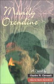
Search results from Open Library.
Recent natural events nearby
Ground air-quality sensors
Recently spotted species
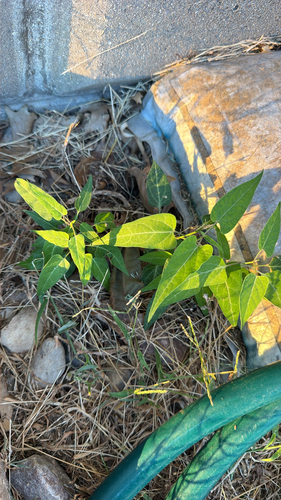
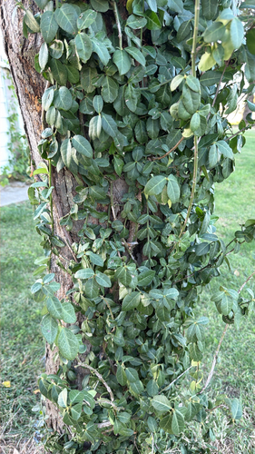
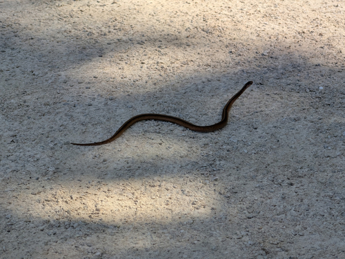
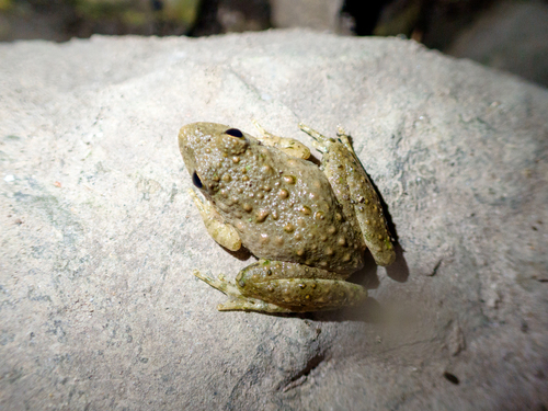
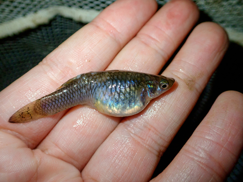

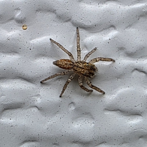
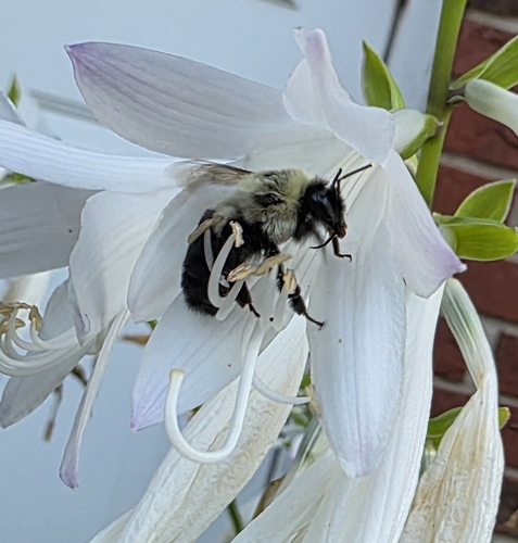
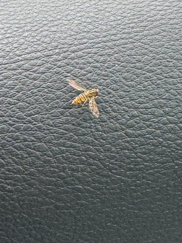
Research-grade observations from iNaturalist (within ~15 mi).
Nearest stream gauge
Events
Gallery
Sources
- • Wikipedia
- • US Census Bureau (ACS 5-year estimates)
- • NOAA National Weather Service
- • Wikidata
- • NCES via Urban Institute Education Data Portal
- • iNaturalist
- • CDC PLACES
- • Open-Meteo / sunrise-sunset.org
- • Wikipedia Pageviews API
- • Open Library