Browse / United States / Illinois / Clay City
Clay City
Illinoisvillage

Clay City
Total population
723
Median home value
$83,200
Bachelor's+
Median income
$53,472
Air quality index
Demographic figures from US Census Bureau · ACS 5-year estimates. Overview below cites Wikipedia and may reference a different year.
- Heat Advisory · ModerateHeat Advisory issued September 16 at 8:30PM CDT until September 17 at 7:00PM CDT by NWS Lincoln IL
Source: NOAA National Weather Service.
City facts
Facts from Wikidata (CC0).
Overview
Clay City is a village in Clay County, Illinois, United States. The population was 847 at the 2020 census. Clay City was named for the Kentucky statesman Henry Clay.
Read more on WikipediaHistory & geography
History
In the early 1800s, Solomon Harter Mueller (later Miller) came to Clay City with his Cherokee wife (later Ida) and 6 children from West Virginia to establish a farm and grinding mill. He later built a smokehouse, general store, and milinary shop. Solomon also brought his brother George C. with his wife Caroline and 5 children. Solomon and Ida had children: Isom, Mary, Otto, Roy, Louise, and Zella, all born in Clay City. Louise's great-grandchildren, Wallace and Caroline, left Clay City for St. Louis. Paul George left for Ohio and ultimately lost oil and mineral rights in Clay City. In 1810, John McCawley and Seth Evans were traveling west from Fort Vincennes along the old Buffalo Trace when one of their horses died. McCawley sent his companion back for another horse. McCawley stayed behind in a cabin built on the west bank of the Little Wabash River just south and east of the future Clay City. This made McCawley the first white man to settle in this area. McCawley later decided to build a stagecoach stop and trading center on the location, which was known as McCawley's Tavern. Clay County was created by an act of the legislature on December 23, 1824. On Tuesday, March 8, 1825, at John McCawley's place, the first county commissioners' court assembled for the new county of Clay. In 1825, Daniel May donated of land, just over west of McCawley's Tavern, to the county for the purpose of constructing a courthouse. This land is one block south of US 50 and to the west of what is now South Main Street. This area had previously been known as Hubbardsville but was renamed Maysville. A two-room courthouse was constructed in 1825, and court was held at Maysville until 1841, when it was moved to the new and present county seat, Louisville. In 1855, after the Ohio…
Geography
Clay City is located in southeastern Clay County about southwest of the Little Wabash River. U.S. Route 50 passes through the southern side of the village, leading west to Flora and east to Olney. Louisville, the Clay County seat, is to the northwest. According to the 2021 census gazetteer files, Clay City has a total area of , all land.
Excerpted from the corresponding Wikipedia article (CC BY-SA).
Demographics & economy
Race & ethnicity
Source: US Census Bureau — American Community Survey, 5-year estimates.
Geography
Coordinates & boundaries from the US Census TIGER/Line shapefiles.
Climate
Current forecast
Forecast for Clay City, IL from NOAA NWS API.
Air quality
Current readings from Open-Meteo Air Quality API (Copernicus CAMS European reanalysis).
Industrial & pollution facilities
Natural hazard risk
Health (adults)
Walkability
Amenities nearby
Wildlife & biodiversity
Most-observed species
- American CrowCorvus brachyrhynchos C.L.Brehm, 1822 · Aves220
- Red-winged BlackbirdAgelaius phoeniceus (Linnaeus, 1766) · Aves197
- Turkey VultureCathartes aura (Linnaeus, 1758) · Aves171
- Northern CardinalCardinalis cardinalis (Linnaeus, 1758) · Aves164
- Mourning DoveZenaida macroura (Linnaeus, 1758) · Aves156
- KilldeerCharadrius vociferus Linnaeus, 1758 · Aves154
- Song SparrowMelospiza melodia (A.Wilson, 1810) · Aves126
- Canada Goose (canadensis Group)Branta canadensis (Linnaeus, 1758) · Aves123
Citizen-science & research observations from the Global Biodiversity Information Facility (GBIF).
Schools
Earthquake history
Most recent
- M 3.51 — 2026-06-296 km NE of West Salem, Illinois
- M 2.58 — 2025-08-092 km ESE of Cynthiana, Indiana
- M 3.26 — 2025-05-137 km SSW of Lerna, Illinois
- M 3.07 — 2023-12-185 km WNW of Waltonville, Illinois
- M 2.58 — 2023-10-266 km SSE of Herrick, Illinois
- M 2.73 — 2023-09-109 km E of Parkersburg, Illinois
Events from the USGS Earthquake Catalog (global) (FDSN Event Web Service).
Photos
Sights & places nearby
Notable people from here
People born within ~10 km, from Wikidata (CC0). Click any name for their Wikipedia article.
Geography & sun
Elevation, sunrise/sunset and daylight from Open-Meteo. Solar climatology from NASA POWER.
Nearby airports
Public attention
Pageview totals from the Wikimedia Pageviews API.
Books about Clay City
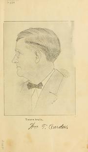


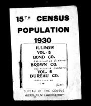

Search results from Open Library.
Recent natural events nearby
Ground air-quality sensors
Recently spotted species
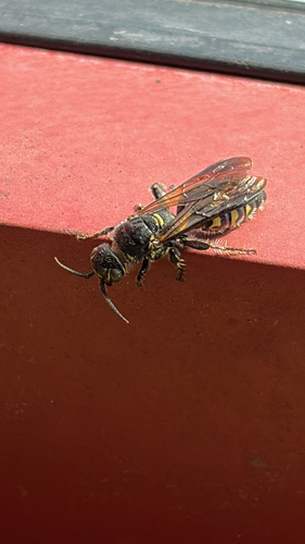
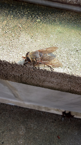
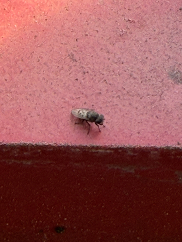
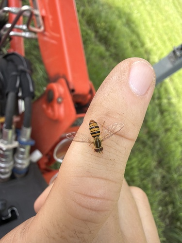
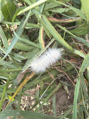
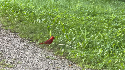
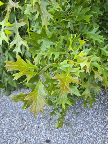
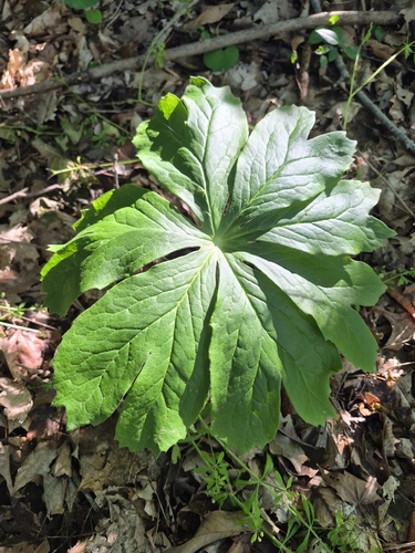
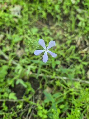
Research-grade observations from iNaturalist (within ~15 mi).
Nearest stream gauge
Events
Gallery
Sources
- • Wikipedia
- • US Census Bureau (ACS 5-year estimates)
- • NOAA National Weather Service
- • Wikidata
- • Open-Meteo Air Quality (CAMS)
- • USGS Earthquake Catalog (global feed)
- • GBIF (Global Biodiversity Information Facility)
- • iNaturalist
- • Open-Meteo / sunrise-sunset.org
- • Wikipedia Pageviews API
- • Open Library