Browse / United States / Illinois / Harrisburg
Harrisburg
Illinoiscity

Harrisburg
Total population
8,372
Median home value
$84,100
Bachelor's+
Median income
$43,415
Founded
1847
Demographic figures from US Census Bureau · ACS 5-year estimates. Overview below cites Wikipedia and may reference a different year.
City facts
Facts from Wikidata (CC0).
Overview
Harrisburg is a city in and the county seat of Saline County, Illinois, United States. It is located about 55 miles (88.51392 km) southwest of Evansville, Indiana, and 111 mi (179 km) southeast of St. Louis, Missouri. Its 2020 population was 8,219, and the surrounding Harrisburg Township had a population of 10,037, including the city residents. Harrisburg is included in the Illinois–Indiana–Kentucky tri-state area and is the principal city in the Harrisburg micropolitan statistical area with a combined population of 24,913.
Read more on WikipediaHistory & geography
History
At the beginning of recorded American history, the Harrisburg area was inhabited by several Algonquian tribes, including the Shawnee and Piankashaw, who lived in the dense inland forests. Prior to the arrival of European settlers, the Piankashaw tribe was driven out by the more aggressive Shawnee. European settlement in Illinois began with the French from 1690 and reached its peak about 1750, mainly along the Mississippi River. American settlers arrived in 1790. The French came as merchants and missionaries, with farming supplementing the need for trade. The result had benefited both the settlers and the Native Americans. The American migration, however, followed treaties which resulted in land being distributed through American Law, ignoring previous indigenous rights. Encroachment ensued and caused hard feelings between the Native Americans and the settlers who moved into the interior and along migration routes. Many of the Indians allied themselves with the British to resist, though trade with the Americans was an important reason why the Native Americans remained largely peaceful. The town of Harrisburg was platted a few miles south of the junction of the Goshen and Shawneetown–Kaskaskia Trail, two of the first pioneer trade routes in the state. Prior to the War of 1812, most of the population of today's Saline County lived in cabins clustered around blockhouses to protect against Indian attack and dangerous wildlife such as cougars and bears. Permanent settlements in the forested area were inevitable with the influx of more settlers, and the first land entry was made in 1814 by John Wren and Hankerson Rude. By 1840 the settlers outnumbered the Native Americans, and most of the black bear population of the county had been killed off by 1845. Harris along with…
Geography
Harrisburg is located at (37.733765, −88.545873). According to the 2010 census, Harrisburg has a total area of , of which (or 96.91%) is land and (or 3.09%) is water. The square in the center of town, as well as Dorrisville and Gaskins City, stand on top of a series of sandstone bluffs that were once islands rising above natural lowlands, above sea level, dredged by the middle fork of the Saline River. The Saline River was a navigable river used by early settlers for transportation to and from Salt Works just east of Harrisburg. The Saline flowed towards the Ohio and flooded every spring in events called Freshets. The locals called the island "Crusoe's Island". When the area was drained, homes and businesses were built in the floodplain, and it became prone to serious flooding for years to come. The town square in the center of town is a sandstone bluff above sea level, one of the first that start the Shawnee Hills to the south. Topographic maps show the bluffs that rise from the Saline River that wraps the northeast part of the city. Harrisburg is located at the ending point of the Laurentide Ice Sheet, which covered about 85 percent of Illinois. The edge of Illinoian ice sheet(s) lay further south than the southernmost extent, i.e. Douglas County, Kansas, of any of the Pre-Illinoian ice sheets. More than of Shawnee National Forest lie to the south of Harrisburg, drawing visitors annually to the Saline County area and the gateway community. The Shawnee National Forest offers much to see and do. The national forest has of roadways, some of streams and frequent waterfalls, numerous ponds and lakes as large as (some with swimming beaches), 13 campgrounds, many picnicking sites, and seven wilderness areas where trails are designed for hiking and horseback…
Excerpted from the corresponding Wikipedia article (CC BY-SA).
Demographics & economy
Race & ethnicity
Source: US Census Bureau — American Community Survey, 5-year estimates.
Geography
Coordinates & boundaries from the US Census TIGER/Line shapefiles.
Climate
Current forecast
Forecast for Harrisburg, IL from NOAA NWS API.
Air quality
Industrial & pollution facilities
Natural hazard risk
Health (adults)
Age-adjusted prevalence estimates from CDC PLACES (latest release).
Walkability
Amenities nearby
Wildlife & biodiversity
Most-observed species
- Northern CardinalCardinalis cardinalis (Linnaeus, 1758) · Aves3,168
- Mourning DoveZenaida macroura (Linnaeus, 1758) · Aves2,946
- American CrowCorvus brachyrhynchos C.L.Brehm, 1822 · Aves2,708
- Tufted TitmouseBaeolophus bicolor (Linnaeus, 1766) · Aves2,547
- Blue JayCyanocitta cristata (Linnaeus, 1758) · Aves2,483
- Red-bellied WoodpeckerMelanerpes carolinus (Linnaeus, 1758) · Aves2,479
- Carolina ChickadeePoecile carolinensis (Audubon, 1834) · Aves2,304
- Downy WoodpeckerDryobates pubescens (Linnaeus, 1766) · Aves2,133
Citizen-science & research observations from the Global Biodiversity Information Facility (GBIF).
Schools
Largest nearby schools
- Eldorado Elem SchoolElementary · Eldorado · 545 students · 14:1 ratio
- Harrisburg High SchoolHigh · Harrisburg · 544 students · 12.7:1 ratio
- West Side Primary SchoolElementary · Harrisburg · 424 students · 12.5:1 ratio
- East Side Intermediate SchoolElementary · Harrisburg · 359 students · 11.6:1 ratio
- Harrisburg Middle SchoolMiddle · Harrisburg · 331 students · 10.7:1 ratio
- Carrier Mills-Stonefort Elem SchElementary · Carrier Mills · 330 students · 13.8:1 ratio
- Eldorado High SchoolHigh · Eldorado · 301 students · 13.1:1 ratio
- Eldorado Middle SchoolMiddle · Eldorado · 231 students · 11.6:1 ratio
Public K–12 schools within ~10 mi from Urban Institute Education Data Portal (NCES Common Core of Data, 2022).
Earthquake history
Most recent
- M 2.58 — 2025-08-092 km ESE of Cynthiana, Indiana
- M 2.53 — 2024-03-056 km ENE of Pinckneyville, Illinois
- M 3.07 — 2023-12-185 km WNW of Waltonville, Illinois
- M 2.52 — 2023-06-037 km N of Nebo, Kentucky
- M 2.52 — 2022-05-176 km NNW of Mount Vernon, Illinois
- M 2.57 — 2022-04-133 km SE of Springerton, Illinois
Events from the USGS Earthquake Catalog (global) (FDSN Event Web Service).
Photos
Sights & places nearby
Notable people from here


People born within ~10 km, from Wikidata (CC0). Click any name for their Wikipedia article.
Nearby places in Illinois
- Muddy2.7 mi away
- Carrier Mills5.7 mi away · pop. 1,634
- Eldorado7.7 mi away · pop. 3,771
- Equality11.1 mi away · pop. 609
- Crab Orchard14.5 mi away · pop. 394
- Junction16.9 mi away · pop. 42
- Norris City20.5 mi away · pop. 1,624
- Hanaford21.6 mi away
- Old Shawneetown22.4 mi away
- Macedonia23.5 mi away
- New Haven25.4 mi away
- Freeman Spur26.2 mi away · pop. 149
Geography & sun
Elevation, sunrise/sunset and daylight from Open-Meteo. Solar climatology from NASA POWER.
Nearby airports
Public attention
Pageview totals from the Wikimedia Pageviews API.
Books about Harrisburg


Search results from Open Library.
Recent natural events nearby
Ground air-quality sensors
Recently spotted species
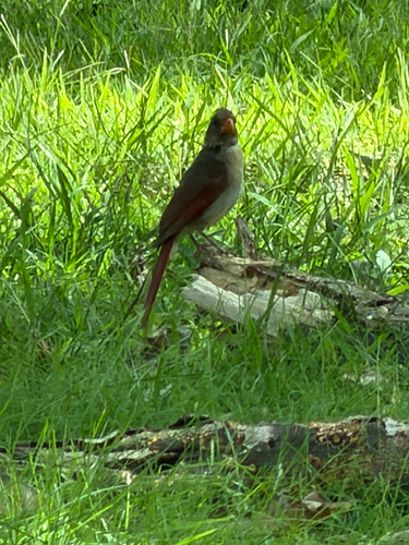
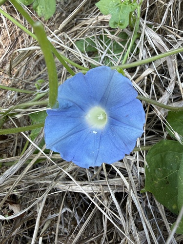
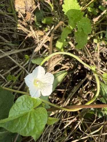
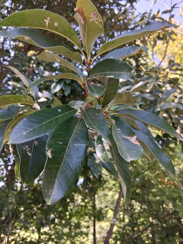
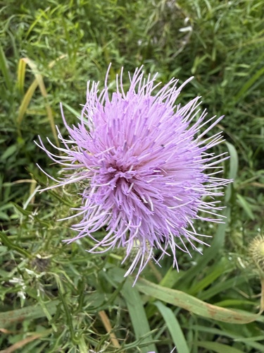
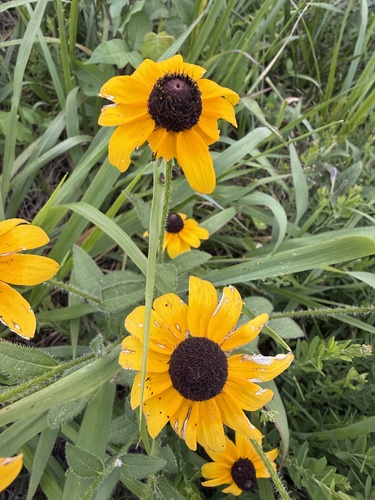
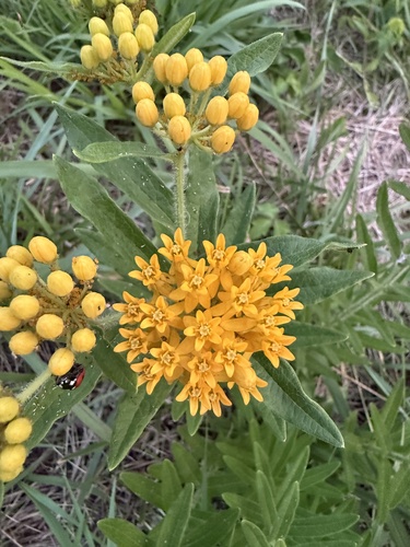
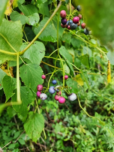
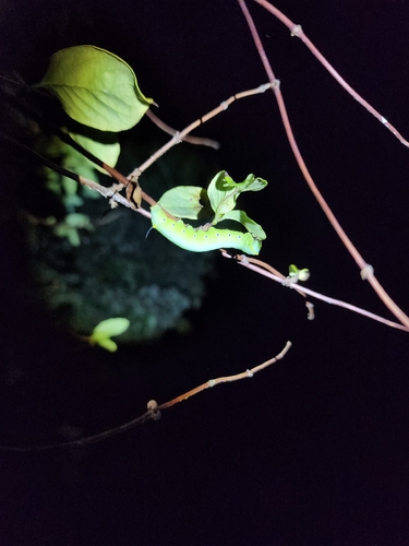
Research-grade observations from iNaturalist (within ~15 mi).
Nearest stream gauge
Live readings from USGS NWIS · measured 2026-09-17 07:15 UTC.
Events
Gallery
Sources
- • Wikipedia
- • US Census Bureau (ACS 5-year estimates)
- • NOAA National Weather Service
- • Wikidata
- • USGS Earthquake Catalog (global feed)
- • USGS NWIS (water data)
- • NCES via Urban Institute Education Data Portal
- • GBIF (Global Biodiversity Information Facility)
- • iNaturalist
- • CDC PLACES
- • Open-Meteo / sunrise-sunset.org
- • Wikipedia Pageviews API
- • Open Library