Browse / United States / Illinois / Hazel Crest
Hazel Crest
Illinoisvillage

Hazel Crest
Total population
13,792
Median home value
$185,300
Bachelor's+
Median income
$68,393
Demographic figures from US Census Bureau · ACS 5-year estimates. Overview below cites Wikipedia and may reference a different year.
City facts
Facts from Wikidata (CC0).
Overview
Hazel Crest is a village in Cook County, Illinois, United States. The population was 13,382 at the 2020 census. It is a south suburb of Chicago.
Read more on WikipediaHistory & geography
History
Hazel Crest was first settled in 1870 in a farming community known as South Harvey. An enterprising newspaper editor named William McClintock moved here from Ohio in 1890, buying from farmer Fred Puhrman, McClintock named the town South Harvey, and the town would receive its modern name in 1895, after a referendum. McClintock built a depot for a local milk train and subsequently opened transportation opportunities to Chicago and beyond. The depot also served as the area's first real estate office, public meeting place, Sunday school, day school, and post office. In 1900, the name was changed to Hazel Crest to reflect the large numbers of hazelnut bushes that grew on a rise of land just south of town. At the time, the southern border was 175th Street and the western edge of the village was Kedzie Avenue. Hazel Crest was incorporated in 1912. Many of the families of the early residents still live in the village. Later on, the city would see the construction of a Community Church in 1894, then a 1984 adaptation of an elementary school building which has now become the Martin J. Kauchak Municipal Center, named for President Kauchak who served the village for twenty years (1973–1993).
Geography
Hazel Crest is located at . The village is primarily located in Bremen Township, while the portion of the village south of 183rd Street is located in Rich Township and the portion east of I-80/94 is in Thornton Township. The village is located near Chicago in an area known as the Chicago Southland and is approximately south of the Chicago Loop. The village is bordered by Markham to the north, Harvey to the northeast, East Hazel Crest to the east, Homewood to the southeast, Flossmoor to the south and Country Club Hills to the west. According to the 2021 census gazetteer files, Hazel Crest has a total area of , of which (or 99.39%) is land and (or 0.61%) is water. The village lies on the Tinley Moraine.
Excerpted from the corresponding Wikipedia article (CC BY-SA).
Demographics & economy
Race & ethnicity
Source: US Census Bureau — American Community Survey, 5-year estimates.
Geography
Coordinates & boundaries from the US Census TIGER/Line shapefiles.
Climate
Air quality
Industrial & pollution facilities
Natural hazard risk
Health (adults)
Age-adjusted prevalence estimates from CDC PLACES (latest release).
Walkability
Amenities nearby
Wildlife & biodiversity
Schools
Largest nearby schools
- Homewood-Flossmoor High SchoolHigh · Flossmoor · 2,798 students · 13.9:1 ratio
- Rich Township High SchoolHigh · Olympia Fields · 2,487 students · 12.4:1 ratio
- Victor J Andrew High SchoolHigh · Orland Hills · 2,259 students · 14.7:1 ratio
- Thornwood High SchoolHigh · South Holland · 1,996 students · 13.8:1 ratio
- A B Shepard High Sch (Campus)High · Palos Heights · 1,973 students · 15.9:1 ratio
- Thornton Fractnl So High SchoolHigh · Lansing · 1,927 students · 18:1 ratio
- DD Eisenhower High Sch (Campus)High · Blue Island · 1,841 students · 13.7:1 ratio
- Bloom High SchoolHigh · Chicago Heights · 1,737 students · 18.7:1 ratio
Public K–12 schools within ~10 mi from Urban Institute Education Data Portal (NCES Common Core of Data, 2022).
Earthquake history
Photos
Sights & places nearby
Notable people from here


People born within ~10 km, from Wikidata (CC0). Click any name for their Wikipedia article.
Nearby places in Illinois
- Homewood1.7 mi away · pop. 19,294
- East Hazel Crest2 mi away
- Flossmoor2.4 mi away · pop. 9,391
- Matteson5.4 mi away · pop. 18,645
- Blue Island5.8 mi away · pop. 22,558
- Ford Heights7.1 mi away
- Merrionette Park7.4 mi away
- Calumet City7.9 mi away · pop. 35,100
- Crete9.8 mi away
- Mokena10.2 mi away · pop. 20,021
- Oak Lawn10.2 mi away
- Forest View16.8 mi away
Geography & sun
Elevation, sunrise/sunset and daylight from Open-Meteo. Solar climatology from NASA POWER.
Nearby airports
Public attention
Pageview totals from the Wikimedia Pageviews API.
Books about this place
Recent natural events nearby
Ground air-quality sensors
Recently spotted species
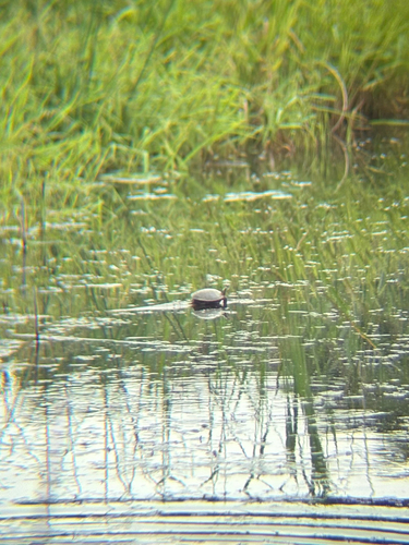
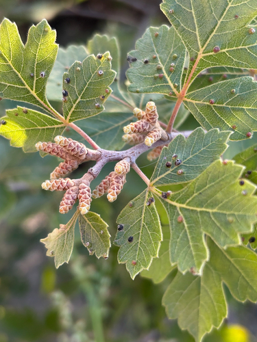
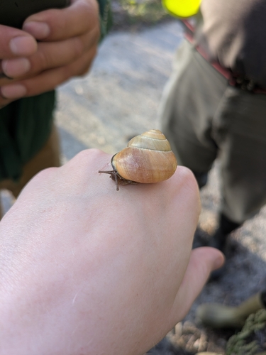
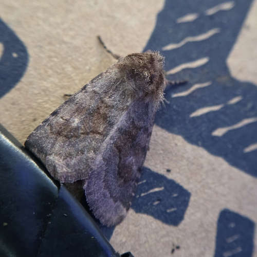
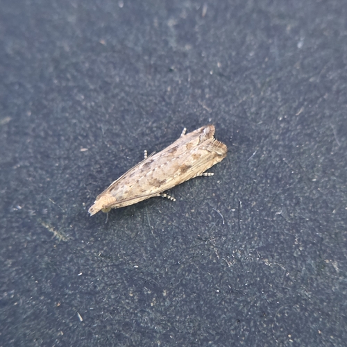
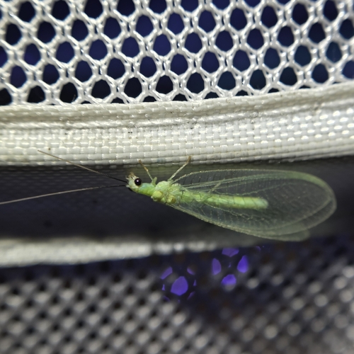
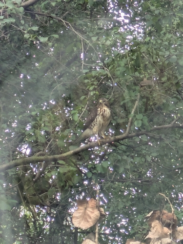
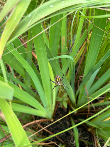
Research-grade observations from iNaturalist (within ~15 mi).
Nearest stream gauge
Events
Gallery
Sources
- • Wikipedia
- • US Census Bureau (ACS 5-year estimates)
- • Wikidata
- • NCES via Urban Institute Education Data Portal
- • iNaturalist
- • CDC PLACES
- • Open-Meteo / sunrise-sunset.org
- • Wikipedia Pageviews API