Browse / United States / Illinois / Joliet
Joliet
Illinoiscity

Joliet
Total population
151,937
Median home value
$280,500
Bachelor's+
Median income
$103,163
Founded
1833
Demographic figures from US Census Bureau · ACS 5-year estimates. Overview below cites Wikipedia and may reference a different year.
- Heat Advisory · ModerateHeat Advisory issued September 4 at 11:48AM CDT until September 4 at 10:00PM CDT by NWS Chicago IL
Source: NOAA National Weather Service.
City facts
Facts from Wikidata (CC0).
Overview
Joliet is a city in Will and Kendall counties in the U.S. state of Illinois. Located 40 miles (64 km) southwest of Chicago, it is the county seat of Will County. Originally settled in 1852 as a steel mill town on the Des Plaines River, Joliet later became known for being the first major city outside of Chicago on U.S. Route 66. It is home to Old Joliet Prison, a historic decommissioned correctional facility that was the largest in the state at the time of its construction. The prison has been featured prominently in several films and television shows, including the 1980 film The Blues Brothers. As of the 2020 census, the population was 150,362, making it the third-most populous city in Illinois.
Read more on WikipediaHistory & geography
History
In 1673, Louis Jolliet, along with Father Jacques Marquette, paddled up the Des Plaines River and camped on a huge earthwork mound, a few miles south of present-day Joliet. Maps from Jolliet's exploration of the area showed a large hill or mound down river from Chicago, labeled Mont Joliet. The mound has since been flattened due to mining. In 1833, following the Black Hawk War, Charles Reed built a cabin along the west side of the Des Plaines River. Across the river in 1834, James B. Campbell, treasurer of the canal commissioners, laid out the village of "Juliet", a corruption of "Joliet" that was also in use at the time. Just before the economic depression of 1837, Juliet incorporated as a village, but to cut tax expenses, Juliet residents soon petitioned the state to rescind that incorporation. In 1845, local residents changed the community's name from "Juliet" to "Joliet", reflecting the original name. Joliet was reincorporated as a city in 1852. Cornelius Covenhoven Van Horne was active in getting the city its first charter, and because of this, he was elected Joliet's first mayor. When the city later built a new bridge, it was named the Van Horne Bridge. Joliet went on to build a system of four more Moveable drawbridges along the river to allow for the passage of large shipping boats. Joliet Iron and Steel Works was once the second largest steel mill in the United States. Joliet Iron Works was initially run from 1869 to 1936. Joliet Steel Works eventually became unprofitable, and all operations were ceased by the early 1980s. It is now preserved on the U.S. National Register of Historic Places. Joliet Correctional Center (also known as "Old Joliet Prison") was completed in 1858. The prison was constructed entirely out of local Limestone sourced from Joliet…
Geography
According to the 2021 census gazetteer files, Joliet has a total area of , of which (or 98.87%) is land and (or 1.13%) is water. It has a sprawling, irregular shape that extends into nine different townships, more than any other Illinois city. They are: Joliet, Plainfield, Troy, New Lenox, Jackson, Channahon, and Lockport in Will County, and Na-Au-Say and Seward in Kendall County. Joliet developed along the Des Plaines River, and its downtown is located in the river valley. Joliet has a "west side" and "east side", referring to areas in relation to the river. With the construction of highways and suburban development to the west, many businesses moved from the downtown area to the expanding areas west of the river. Many stores relocated to the west side in new strip malls and shopping centers with more parking and easier access. These changes resulted in the decline of the downtown shopping district, which is still felt today. Today, Joliet has a "west side" and a "far west side" (which includes all city limits in Kendall County). This has given rise to a newly referenced "Central Joliet" portion of the city, which essentially is all land west of the Des Plaines River and east of Interstate 55. Although no locals believe this, some internet scholars suggest this new reference may soon change the current meaning of "west side" to west of I-55 Joliet has a hot summer humid continental climate (Köppen Dfa) with hot, humid summers, and cold winters with moderate to heavy snowfall.
Excerpted from the corresponding Wikipedia article (CC BY-SA).
Demographics & economy
Race & ethnicity
Source: US Census Bureau — American Community Survey, 5-year estimates.
Geography
Coordinates & boundaries from the US Census TIGER/Line shapefiles.
Climate
Current forecast
Forecast for Joliet, IL from NOAA NWS API.
Air quality
Industrial & pollution facilities
Natural hazard risk
Health (adults)
Age-adjusted prevalence estimates from CDC PLACES (latest release).
Walkability
Amenities nearby
Wildlife & biodiversity
Most-observed species
- American RobinTurdus migratorius Linnaeus, 1766 · Aves9,746
- Northern CardinalCardinalis cardinalis (Linnaeus, 1758) · Aves8,709
- Red-winged BlackbirdAgelaius phoeniceus (Linnaeus, 1766) · Aves8,090
- Canada Goose (canadensis Group)Branta canadensis (Linnaeus, 1758) · Aves7,312
- American GoldfinchSpinus tristis (Linnaeus, 1758) · Aves6,503
- MallardAnas platyrhynchos Linnaeus, 1758 · Aves6,429
- Mourning DoveZenaida macroura (Linnaeus, 1758) · Aves6,234
- Black-capped ChickadeePoecile atricapillus (Linnaeus, 1766) · Aves5,713
Citizen-science & research observations from the Global Biodiversity Information Facility (GBIF).
Schools
Largest nearby schools
- Lockport Township High Sch EastHigh · Lockport · 3,872 students · 17.2:1 ratio
- Joliet West High SchoolHigh · Joliet · 3,541 students · 21.1:1 ratio
- Joliet Central High SchoolHigh · Joliet · 3,377 students · 18.4:1 ratio
- Lincoln Way WestHigh · New Lenox · 1,994 students · 19.5:1 ratio
- Plainfield High SchoolHigh · Plainfield · 1,986 students · 16.3:1 ratio
- Romeoville High SchoolHigh · Romeoville · 1,922 students · 13.6:1 ratio
- Hufford Junior High SchoolMiddle · Joliet · 1,151 students · 15.8:1 ratio
- Troy Middle SchoolMiddle · Plainfield · 912 students · 13.2:1 ratio
Public K–12 schools within ~10 mi from Urban Institute Education Data Portal (NCES Common Core of Data, 2022).
Earthquake history
Most recent
- M 2.9 — 2026-07-0821 km ENE of Kenilworth, Illinois
- M 2.6 — 2025-03-156 km W of Dwight, Illinois
- M 3.1 — 2024-07-152 km WNW of Somonauk, Illinois
- M 3.6 — 2023-11-151 km SSW of Standard, Illinois
- M 2.9 — 2015-03-253 km WNW of Lake in the Hills, Illinois
- M 3.2 — 2013-11-041 km SSW of Lyons, Illinois
Events from the USGS Earthquake Catalog (global) (FDSN Event Web Service).
Photos
Sights & places nearby
Notable people from here


People born within ~10 km, from Wikidata (CC0). Click any name for their Wikipedia article.
Nearby places in Illinois
- Minooka8.5 mi away · pop. 12,891
- Channahon8.8 mi away · pop. 13,927
- Plainfield9.2 mi away
- Plattville12.2 mi away
- Mokena14.1 mi away · pop. 20,021
- Orland Park16.2 mi away
- Braidwood17.5 mi away · pop. 6,062
- Montgomery17.7 mi away · pop. 21,515
- Palos Park19.4 mi away
- Matteson20.8 mi away · pop. 18,645
- Palos Heights20.8 mi away
- Palos Hills21 mi away
Geography & sun
Elevation, sunrise/sunset and daylight from Open-Meteo. Solar climatology from NASA POWER.
Nearby airports
Public attention
Pageview totals from the Wikimedia Pageviews API.
Books about Joliet

Search results from Open Library.
Recent natural events nearby
Ground air-quality sensors
Recently spotted species
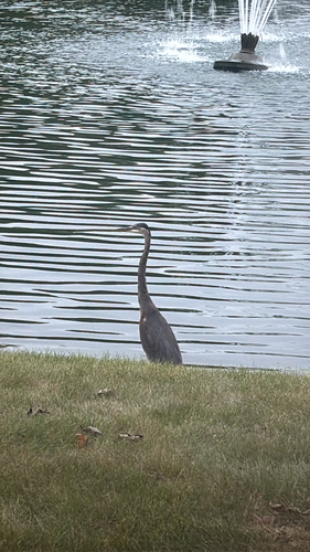
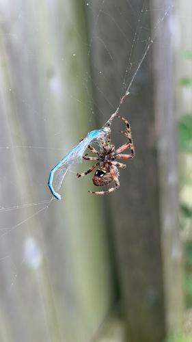
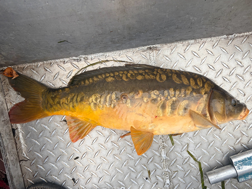
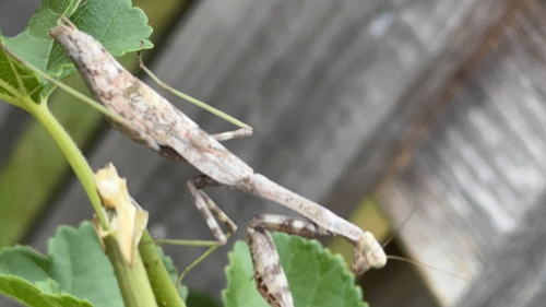
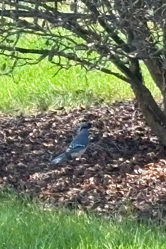
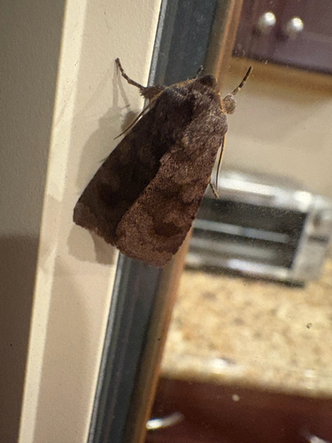
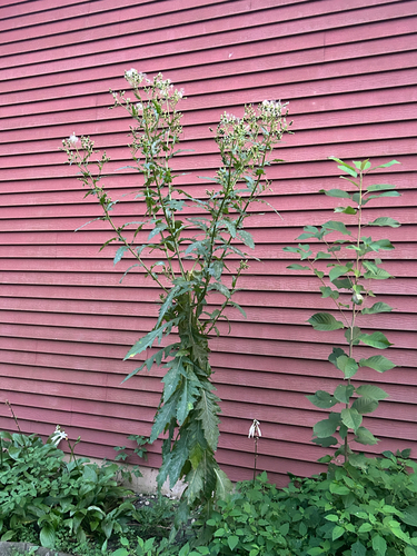
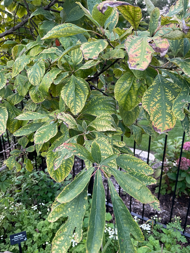
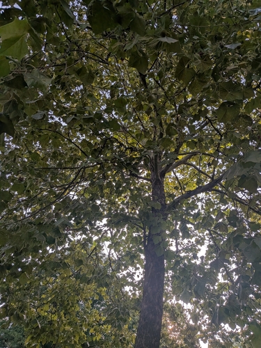
Research-grade observations from iNaturalist (within ~15 mi).
Nearest stream gauge
Events
Gallery
Sources
- • Wikipedia
- • US Census Bureau (ACS 5-year estimates)
- • NOAA National Weather Service
- • Wikidata
- • USGS Earthquake Catalog (global feed)
- • NCES via Urban Institute Education Data Portal
- • GBIF (Global Biodiversity Information Facility)
- • iNaturalist
- • CDC PLACES
- • Open-Meteo / sunrise-sunset.org
- • Wikipedia Pageviews API
- • Open Library