Browse / United States / Illinois / Nauvoo
Nauvoo
Illinoiscity

Nauvoo
Total population
931
Median home value
$156,700
Bachelor's+
Median income
$68,750
Founded
1630
Demographic figures from US Census Bureau · ACS 5-year estimates. Overview below cites Wikipedia and may reference a different year.
City facts
Facts from Wikidata (CC0).
Overview
Nauvoo is a small city in Hancock County, Illinois, United States, on the Mississippi River near Fort Madison, Iowa. The population of Nauvoo was 950 at the 2020 census. Nauvoo attracts visitors for its historic importance and its religious significance to members of The Church of Jesus Christ of Latter-day Saints, Community of Christ, and other groups stemming from the Latter Day Saint movement, as well as the Icarians. The city and its immediate surrounding area are listed on the National Register of Historic Places as the Nauvoo Historic District.
Read more on WikipediaHistory & geography
History
The area of Nauvoo was first called Quashquame, named in honor of the Native American chief who headed a Sauk and Meskwaki settlement numbering nearly 500 lodges. By 1827, white settlers had built cabins in the area, and by 1830, it was sufficiently settled to warrant a post office, established on March 13 of that year. In 1832, the town, by then called Venus, was one of the contenders for the new county seat. However, the honor was awarded to a nearby city, Carthage. On October 11, 1834, the name Venus was changed to Commerce. In late 1838, Apostle Brigham Young counseled Israel Barlow and 32 other Latter-day Saints to leave Far West, Missouri, to search for a place for more than 12,000 homeless Saints to find refuge. While journeying in exile, Barlow would separate from the group and eventually make the acquaintance of Dr. Isaac Galland, the owner of land near Montrose, Iowa, and Commerce, Illinois. The name Nauvoo is derived from the traditional Hebrew language with an anglicized spelling. The word comes from Isaiah 52:7, "How beautiful (נָּאווּ, nâwû) upon the mountains". By 1844 "Nauvoo's population had swollen to 12,000, rivaling the size of Chicago" at the time. John C. Bennett, Smith's Assistant President and first commander of the Nauvoo Legion, was elected mayor of Nauvoo in 1841. He was replaced by Smith himself in 1842. After Smith's death two years later, continued violence from surrounding non-LDS members forced most Latter-day Saints to leave Nauvoo. Most of these followers, led by Brigham Young, emigrated to the Great Salt Lake Valley. In 1849, Icarians moved to the Nauvoo area to implement a utopian socialist commune based on the ideals of French philosopher Étienne Cabet. The colony had nearly 500 members at its peak, but the community disbanded in…
Geography
Situated on a wide bend in the Mississippi River, Nauvoo has most of the historic district in the lower flat lands (called the flats) that are no more than a few feet above the water line. A prominent hill rises as one moves further east, at the apex of which stands the rebuilt Nauvoo Temple. Beginning with the temple, this elevated land (called the uptown) continues flat for many miles eastward. According to the 2021 census gazetteer files, Nauvoo has a total area of , of which (or 70.15%) is land and (or 29.85%) is water.
Excerpted from the corresponding Wikipedia article (CC BY-SA).
Demographics & economy
Race & ethnicity
Source: US Census Bureau — American Community Survey, 5-year estimates.
Geography
Coordinates & boundaries from the US Census TIGER/Line shapefiles.
Climate
Air quality
Industrial & pollution facilities
Natural hazard risk
Health (adults)
Walkability
Amenities nearby
Wildlife & biodiversity
Schools
Earthquake history
Photos
Sights & places nearby
Notable people from here


People born within ~10 km, from Wikidata (CC0). Click any name for their Wikipedia article.
Nearby places in Illinois
Geography & sun
Elevation, sunrise/sunset and daylight from Open-Meteo. Solar climatology from NASA POWER.
Nearby airports
Public attention
Pageview totals from the Wikimedia Pageviews API.
Books about Nauvoo
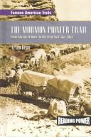

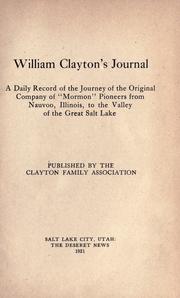

Search results from Open Library.
Recent natural events nearby
Ground air-quality sensors
Recently spotted species
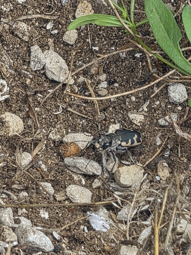
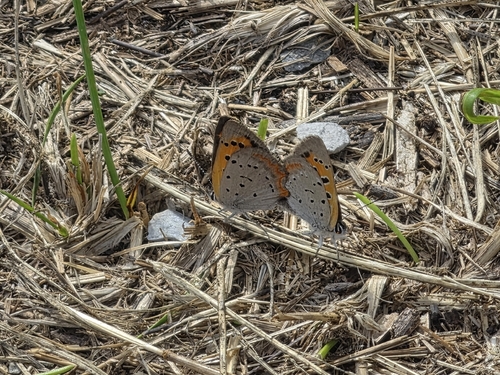
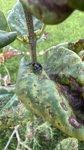
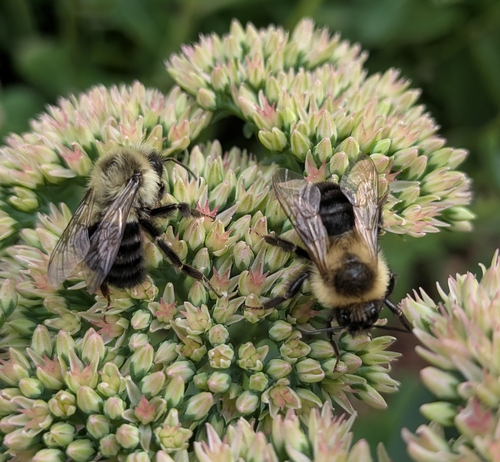
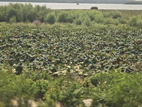
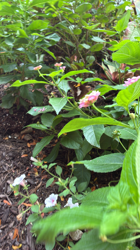
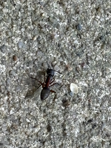


Research-grade observations from iNaturalist (within ~15 mi).
Nearest stream gauge
Live readings from USGS NWIS · measured 2026-09-17 10:45 UTC.
Events
Gallery
Sources
- • Wikipedia
- • US Census Bureau (ACS 5-year estimates)
- • Wikidata
- • USGS NWIS (water data)
- • iNaturalist
- • Open-Meteo / sunrise-sunset.org
- • Wikipedia Pageviews API
- • Open Library