Browse / Israel / Israel / Netanya
Netanya
Israeltown

Netanya
Total population
276,766
Founded
1929
Demographic figures from Israel Central Bureau of Statistics. Overview below cites Wikipedia and may reference a different year.
City facts
Facts from Wikidata (CC0).
Overview
Netanya, or Natanya, is a city in the Central District of Israel, and is the capital of the surrounding Sharon plain. It is 30 kilometres (20 mi) north of Tel Aviv, and 56 km (35 mi) south of Haifa, between the Poleg stream and the Wingate Institute in the south and the Avihayil stream in the north. The 14 km of beaches have made the city a popular tourist resort.
Read more on WikipediaHistory & geography
History
Before the 20th century, parts of Netanya belonged to the Forest of Sharon, a hallmark of the region's historical landscape. It was an open woodland dominated by Mount Tabor Oak (Quercus ithaburensis), which extended from Kfar Yona in the north to Ra'anana in the south. Arabs who lived in the area used it for pasture, firewood and intermittent cultivation. The intensification of settlement and agriculture in the coastal plain during the 19th century led to deforestation and subsequent environmental degradation known from Hebrew sources. Netanya was established near the ancient site of Poleg by the Bnei Binyamin association in Zikhron Ya'akov. New York City Parks Commissioner, and president of the New York City Board of Health, who gifted two-thirds of his personal fortune to projects benefiting Jews and Arabs in Mandatory Palestine. "Netanya...was named for Straus in the hope he would donate money to them. When he told them he had no more money to give, they were disappointed, but decided to keep the city's name anyway." The funds for the project of building Netanya were raised by Itamar Ben-Avi and Oved Ben-Ami, who embarked on a fundraising trip to the United States to raise the money. In 1928 members of Bnei Binyamin and Hanotea, an organisation set up after Straus was informed of the establishment of the settlement, purchased of Umm Khaled lands. The first urban plan divided the city into three sections with a tourism district along the coastline, housing, farms and commerce in the center, and agriculture and industry to the east. That year also saw the completion of the Tel Aviv Hotel, the first hotel in Netanya, as well as the establishment of two new neighborhoods, Ben Zion and Geva. In 1940, the British Mandate government defined Netanya as a local council…
Geography
Netanya is located on the Israeli Mediterranean Coastal Plain, the historic land bridge between Europe, Africa, and Asia. The city is the capital of the Sharon plain, a geographic region stretching from the Mediterranean in the west to the Samarian hills in the east, and the modern-day Gush Dan metropolitan area in the south northwards to Mount Carmel. Although the capital of a densely populated region, Netanya itself is relatively separate from settlements to the north, south, and east, although, over time, growth has incorporated some into what makes up modern-day Netanya. Apart from some small moshavim and kibbutzim, south of Netanya is relatively clear of settlement until Herzliya and the start of the Gush Dan metropolitan area. Likewise, to the north is clear of large settlement until Hadera, and to the east until Tulkarm in the West Bank. The area to the east of Netanya does, however, have a large concentration of kibbutzim and moshavim in the Hefer Valley Regional Council and local councils of Kfar Yona, Kadima-Tzoran and Even Yehuda. Netanya itself is divided into a large number of neighborhoods (see Neighborhoods of Netanya), recently growing southwards out of the city to create several high-end coastal neighborhoods with industrial areas inland. Netanya is home to the Poleg nature reserve and the Irises Dora Rainpool nature park containing the world's largest population of iris atropurpurea. At the center of the park is a rainpool which fills up with water in the winter months, and dries up over the summer months. Signs along the rain pool include information on the types of flora and fauna that populate the ecosystem.
Excerpted from the corresponding Wikipedia article (CC BY-SA).
Geography
Coordinates & boundaries from the US Census TIGER/Line shapefiles.
Climate
Air quality
Walkability
Amenities nearby
Wildlife & biodiversity
Most-observed species
- Hooded CrowCorvus cornix Linnaeus, 1758 · Aves7,991
- Common MynaAcridotheres tristis (Linnaeus, 1766) · Aves7,892
- Eurasian Collared-DoveStreptopelia decaocto (Frivaldszky, 1838) · Aves6,908
- Graceful PriniaPrinia gracilis (Lichtenstein, 1823) · Aves6,861
- White-spectacled BulbulPycnonotus xanthopygos (Hemprich & Ehrenberg, 1833) · Aves6,392
- White-throated KingfisherHalcyon smyrnensis (Linnaeus, 1758) · Aves6,287
- Rock PigeonColumba livia J.F.Gmelin, 1789 · Aves6,262
- Spur-winged LapwingVanellus spinosus (Linnaeus, 1758) · Aves6,120
Citizen-science & research observations from the Global Biodiversity Information Facility (GBIF).
Earthquake history
Most recent
- M 4.1 — 2023-02-07Dead Sea region
- M 3.7 — 2022-01-234 km ENE of Kafr Mi?r, Israel
- M 4.1 — 2022-01-224 km E of Taiyiba, Israel
- M 4.5 — 2020-02-0626 km W of Atlit, Israel
- M 2.9 — 2018-07-271 km ESE of Migdal, Israel
- M 2.9 — 2018-07-229 km E of Tiberias, Israel
Events from the USGS Earthquake Catalog (global) (FDSN Event Web Service).
Photos
Sights & places nearby
Notable people from here


People born within ~10 km, from Wikidata (CC0). Click any name for their Wikipedia article.
Geography & sun
Elevation, sunrise/sunset and daylight from Open-Meteo. Solar climatology from NASA POWER.
Nearby airports
Public attention
Pageview totals from the Wikimedia Pageviews API.
Books about Netanya

Search results from Open Library.
Recent natural events nearby
Ground air-quality sensors
Recently spotted species
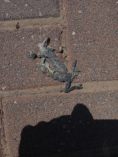
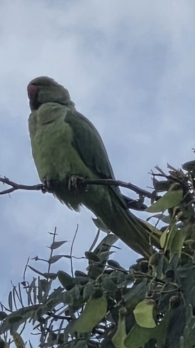
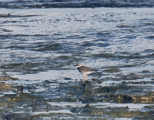
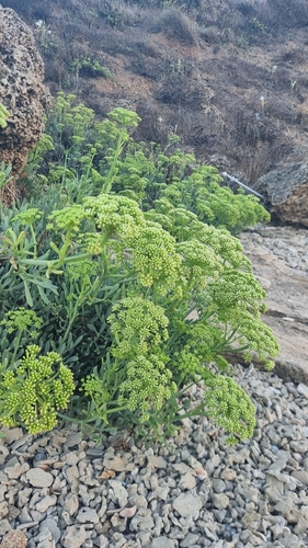
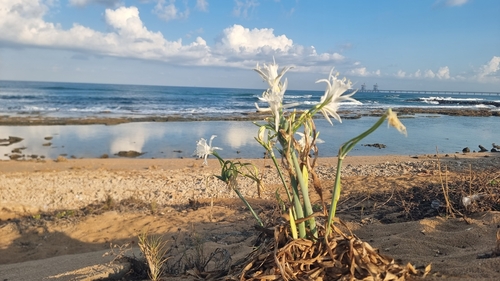
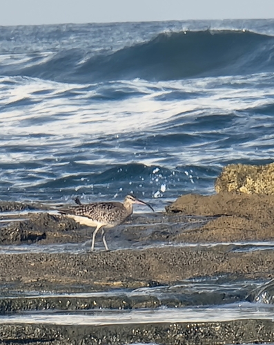
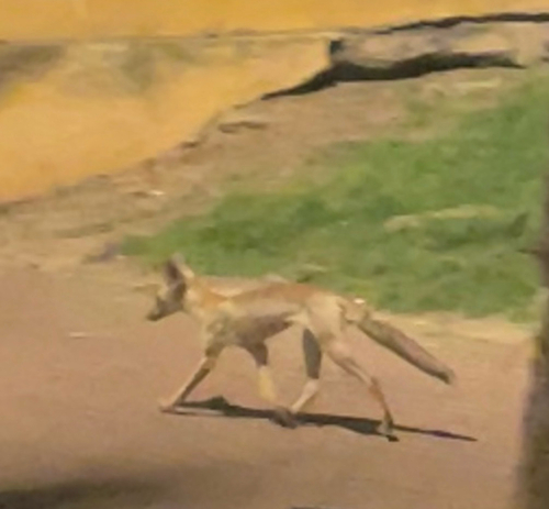
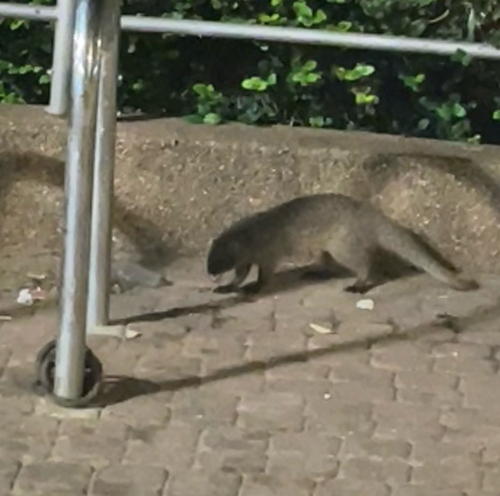
Research-grade observations from iNaturalist (within ~15 mi).
Events
Gallery
Sources
- • Wikipedia
- • Wikidata
- • USGS Earthquake Catalog (global feed)
- • GBIF (Global Biodiversity Information Facility)
- • iNaturalist
- • Open-Meteo / sunrise-sunset.org
- • Wikipedia Pageviews API
- • Open Library