Browse / United States / Illinois / Peoria
Peoria
Illinoiscity

Peoria
Total population
115,996
Median home value
$177,900
Bachelor's+
Median income
$65,078
Founded
1680
Demographic figures from US Census Bureau · ACS 5-year estimates. Overview below cites Wikipedia and may reference a different year.
- Frost Advisory · MinorFrost Advisory issued October 16 at 2:54PM CDT until October 17 at 9:00AM CDT by NWS Lincoln IL
Source: NOAA National Weather Service.
City facts
Sister cities
Facts from Wikidata (CC0).
Overview
Peoria is a city in Peoria County, Illinois, United States, and its county seat. Located on the Illinois River, the city had a population of 113,150 as of the 2020 census, making it the eighth-most populous city in Illinois. It is the principal city of the Peoria metropolitan area in Central Illinois, consisting of Fulton, Marshall, Peoria, Stark, Tazewell, and Woodford counties and had a combined population of 402,391 in 2020.
Read more on WikipediaHistory & geography
History
Peoria was the earliest permanent European settlement in what is now Illinois; French explorers first established a presence along the Illinois River in the late 17th century, with the community later evolving into the modern city. The lands that eventually would become Peoria were first settled by Europeans in 1680, when French explorers René-Robert Cavelier, Sieur de La Salle and Henri de Tonti constructed Fort Crevecoeur. Peoria was named after the Peoria tribe, a member of the Illinois Confederation; linguistic scholars have proposed an origin in Proto-Algonquian meaning “to dream with the help of a manitou,” but the etymology remains uncertain. A 21st-century proposal suggests a derivation from a Proto-Algonquian word meaning "to dream with the help of a manitou." Peoria was incorporated as a village on March 11, 1835. The city did not have a mayor, though they had a village president, Rudolphus Rouse, who served from 1835 to 1836. The first Chief of Police, John B Lishk, was appointed in 1837. The city was incorporated on April 21, 1845. This was the end of a village president and the start of the mayoral system, with the first mayor being William Hale. Peoria, Arizona, a suburb of Phoenix, was named after Peoria, Illinois because the two men who founded it in 1890 − Joseph B. Greenhut and Deloss S. Brown − wished to name it after their hometown. Peoria was significant in the world of bicycle racing during the late 19th century. Held at Lake View Park, its U.S. bicycle racing stop hosted such notable names as Marshall "Major" Taylor, who became world champion. Taylor described Peoria as the "Mecca" for the sport. For much of the 20th century, Peoria hosted a red-light district of brothels and bars known as the Merry-Go-Round. Richard Pryor got his…
Geography
According to the 2010 census, Peoria has a total area of , of which (or 95.58%) is land and (or 4.42%) is water. Peoria has a humid continental climate (Köppen Dfa), with cold, snowy winters, and hot, humid summers. Monthly daily mean temperatures range from to . Snowfall is common in the winter, averaging , but this figure varies considerably from year to year. Precipitation, averaging , peaks in the spring and summer, and is the lowest in winter. Extremes have ranged from in January 1884 to in July 1936.
Excerpted from the corresponding Wikipedia article (CC BY-SA).
Demographics & economy
Race & ethnicity
Source: US Census Bureau — American Community Survey, 5-year estimates.
Geography
Coordinates & boundaries from the US Census TIGER/Line shapefiles.
Climate
Current forecast
Forecast for Peoria, IL from NOAA NWS API.
Air quality
Industrial & pollution facilities
Natural hazard risk
Health (adults)
Age-adjusted prevalence estimates from CDC PLACES (latest release).
Walkability
Amenities nearby
Wildlife & biodiversity
Most-observed species
- Northern CardinalCardinalis cardinalis (Linnaeus, 1758) · Aves11,311
- Black-capped ChickadeePoecile atricapillus (Linnaeus, 1766) · Aves9,978
- American RobinTurdus migratorius Linnaeus, 1766 · Aves9,679
- Red-bellied WoodpeckerMelanerpes carolinus (Linnaeus, 1758) · Aves9,534
- Blue JayCyanocitta cristata (Linnaeus, 1758) · Aves8,996
- White-breasted NuthatchSitta carolinensis Latham, 1790 · Aves8,990
- Downy WoodpeckerDryobates pubescens (Linnaeus, 1766) · Aves8,648
- Tufted TitmouseBaeolophus bicolor (Linnaeus, 1766) · Aves7,849
Citizen-science & research observations from the Global Biodiversity Information Facility (GBIF).
Schools
Largest nearby schools
- Richwoods High SchoolHigh · Peoria · 1,580 students · 20.5:1 ratio
- Peoria High SchoolHigh · Peoria · 1,447 students · 19.6:1 ratio
- Dunlap High SchoolHigh · Dunlap · 1,375 students · 18.1:1 ratio
- Limestone Community High SchoolHigh · Peoria · 924 students · 14:1 ratio
- Hickory Grove Elementary SchoolElementary · Dunlap · 801 students · 19.5:1 ratio
- Lincoln SchoolElementary · Peoria · 727 students · 14.8:1 ratio
- Glen Oak Comm Learning CntrElementary · Peoria · 709 students · 20.3:1 ratio
- Manual High SchoolHigh · Peoria · 656 students · 16.8:1 ratio
Public K–12 schools within ~10 mi from Urban Institute Education Data Portal (NCES Common Core of Data, 2022).
Earthquake history
Most recent
- M 3.6 — 2023-11-151 km SSW of Standard, Illinois
- M 4.2 — 2004-06-2812 km NW of Dayton, Illinois
Events from the USGS Earthquake Catalog (global) (FDSN Event Web Service).
Photos
Sights & places nearby
Notable people from here


People born within ~10 km, from Wikidata (CC0). Click any name for their Wikipedia article.
Nearby places in Illinois
- Peoria Heights2.5 mi away
- Bellevue5.3 mi away · pop. 2,106
- Norwood5.3 mi away · pop. 532
- Bay View Gardens6.3 mi away
- Creve Coeur7.5 mi away
- Bartonville7.9 mi away
- Marquette Heights9.2 mi away
- North Pekin9.5 mi away
- Lake Camelot10.7 mi away
- Glasford16.1 mi away
- Deer Creek17.2 mi away
- Hopewell18.1 mi away · pop. 604
Geography & sun
Elevation, sunrise/sunset and daylight from Open-Meteo. Solar climatology from NASA POWER.
Nearby airports
Public attention
Pageview totals from the Wikimedia Pageviews API.
Books about Peoria


Search results from Open Library.
Recent natural events nearby
Ground air-quality sensors
Recently spotted species
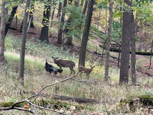
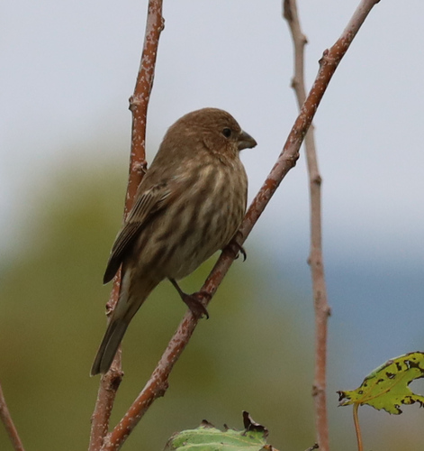
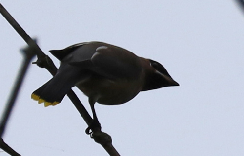
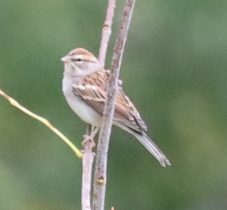
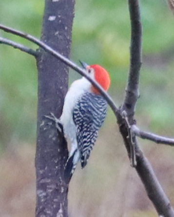
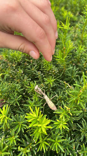
Research-grade observations from iNaturalist (within ~15 mi).
Nearest stream gauge
Events
Gallery
Sources
- • Wikipedia
- • US Census Bureau (ACS 5-year estimates)
- • NOAA National Weather Service
- • Wikidata
- • USGS Earthquake Catalog (global feed)
- • NCES via Urban Institute Education Data Portal
- • GBIF (Global Biodiversity Information Facility)
- • iNaturalist
- • CDC PLACES
- • Open-Meteo / sunrise-sunset.org
- • Wikipedia Pageviews API
- • Open Library