Browse / United States / Illinois / Quincy
Quincy
Illinoiscity

Quincy
Total population
39,109
Median home value
$153,200
Bachelor's+
Median income
$56,480
Founded
1819
Air quality index
Demographic figures from US Census Bureau · ACS 5-year estimates. Overview below cites Wikipedia and may reference a different year.
- Extreme Heat Warning · SevereExtreme Heat Warning issued September 4 at 2:49PM CDT until September 5 at 8:00PM CDT by NWS St Louis MO
Source: NOAA National Weather Service.
City facts
Facts from Wikidata (CC0).
Overview
Quincy is a city in Adams County, Illinois, United States, and its county seat. Located on the Mississippi River, the population was 39,463 as of the 2020 census, down from 40,633 in 2010. The Quincy micropolitan area had 114,649 residents.
Read more on WikipediaHistory & geography
History
Quincy's location along the Mississippi River has attracted settlers for centuries. The French became the first European presence to colonize the region, after Louis Jolliet, Jacques Marquette, Jamison Knapp and the La Salle Expeditions explored the Upper Mississippi River Valley. Fur goods became a valuable commodity of the region, and European explorers and merchants alike were attracted to the prospects of the growing fur trade of the North American frontier. The Mississippi River, acting as a superhighway for transporting goods downstream, became the area's most vital transportation asset. Following the events of the Seven Years' War, which ended in 1763, Great Britain took control of New France, and the area that is now Illinois became part of the Indian Reserve. After the American Revolutionary War a few decades later, the area became part of the Northwest Territory of the United States, and eventually the State of Illinois in 1818. After the War of 1812, the American government granted military tracts to veterans as a means to help populate the West. Peter Flinn, having acquired the land from veteran Mark McGowan for his military service in 1819, ended up selling of land acquisitions to Moravia, New York native John Wood for $60 (~$ in ). John Wood later founded Quincy, which at the time was coined Bluffs, Illinois. In 1825, Bluffs renamed their community Quincy and became the seat of government for Adams County, both named after newly elected President John Quincy Adams. In addition, they originally named the town square John Square until eventually changing its name to Washington Square. In December 1830, Peter Felt, who had recently arrived with his family from New Hampshire, and others held the first service at what would become the first congregational…
Geography
Quincy is located at (39.932335, -91.388737). It is adjacent to the Mississippi River and Quincy Bay, a large inlet of water fed by Cedar and Homan Creeks. According to the 2021 census gazetteer files, Quincy has a total area of , of which (or 99.73%) is land and (or 0.27%) is water. The city is situated on bluffs overlooking the Mississippi River. Adjacent to Quincy, on the Missouri side of the river, is West Quincy, Missouri and a vast floodplain used primarily for farming. East of Quincy lies the Quincy Hills geographic region, a region of hills that are similar to the Lincoln Hills in Missouri, where a mixture of rolling hills, woods, and farming shape the landscape. Flat prairie lie north of Quincy and as the Mississippi turns sharply to the southwest; bluffs, floodplain, and farmland lie to the south and southwest of the city. The Quincy micropolitan area includes Adams County, Illinois and Lewis County, Missouri and together hold a population of 75,546. Due to its proximity to Hannibal, Missouri, the two communities have been bulked into Quincy-Hannibal, IL-MO Combined Statistical Area which holds approximately 116,000 residents. As of the 2010 Census, it is currently ranked as the 156th most populated CSA in the United States. Geographically, Quincy is the largest city and central hub of the tri-state area encompassing western Illinois, northeastern Missouri, and southeastern Iowa. Quincy has several suburbs. North Quincy is the city's most populated suburb and lies to the north, beyond a rail line and a large creek. Hickory Grove, Illinois is an edge town and lies adjacent to Quincy to its east, bordered by Interstate 172. The town of Marblehead lies to the south, and West Quincy to the west. The Hannibal–Quincy micropolitan area is also technically…
Excerpted from the corresponding Wikipedia article (CC BY-SA).
Demographics & economy
Race & ethnicity
Source: US Census Bureau — American Community Survey, 5-year estimates.
Geography
Coordinates & boundaries from the US Census TIGER/Line shapefiles.
Climate
Current forecast
Forecast for Quincy, IL from NOAA NWS API.
Air quality
Current readings from Open-Meteo Air Quality API (Copernicus CAMS European reanalysis).
Industrial & pollution facilities
Natural hazard risk
Health (adults)
Age-adjusted prevalence estimates from CDC PLACES (latest release).
Walkability
Amenities nearby
Wildlife & biodiversity
Most-observed species
- Northern CardinalCardinalis cardinalis (Linnaeus, 1758) · Aves2,064
- House SparrowPasser domesticus (Linnaeus, 1758) · Aves1,708
- Mourning DoveZenaida macroura (Linnaeus, 1758) · Aves1,630
- American RobinTurdus migratorius Linnaeus, 1766 · Aves1,483
- European StarlingSturnus vulgaris Linnaeus, 1758 · Aves1,457
- Red-bellied WoodpeckerMelanerpes carolinus (Linnaeus, 1758) · Aves1,363
- Downy WoodpeckerDryobates pubescens (Linnaeus, 1766) · Aves1,336
- Blue JayCyanocitta cristata (Linnaeus, 1758) · Aves1,231
Citizen-science & research observations from the Global Biodiversity Information Facility (GBIF).
Schools
Earthquake history
Most recent
- M 2.59 — 2022-12-054 km SW of Madison, Missouri
- M 2.9 — 2004-02-086 km SSW of Stoutsville, Missouri
Events from the USGS Earthquake Catalog (global) (FDSN Event Web Service).
Photos
Sights & places nearby
Notable people from here


People born within ~10 km, from Wikidata (CC0). Click any name for their Wikipedia article.
Nearby places in Illinois
Geography & sun
Elevation, sunrise/sunset and daylight from Open-Meteo. Solar climatology from NASA POWER.
Nearby airports
Public attention
Pageview totals from the Wikimedia Pageviews API.
Books about Quincy


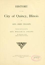


Search results from Open Library.
Recent natural events nearby
Ground air-quality sensors
Recently spotted species
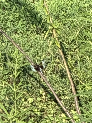
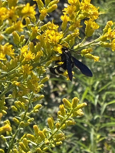
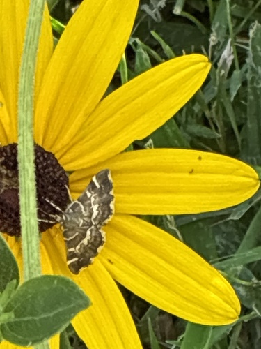
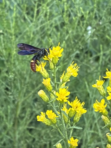
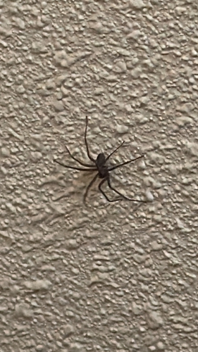
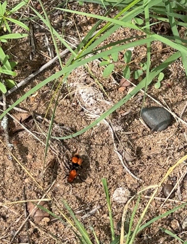
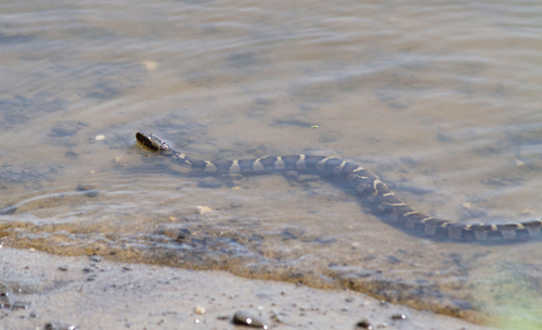
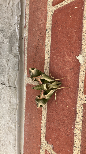

Research-grade observations from iNaturalist (within ~15 mi).
Nearest stream gauge
Live readings from USGS NWIS · measured 2026-09-04 20:30 UTC.
Events
Gallery
Sources
- • Wikipedia
- • US Census Bureau (ACS 5-year estimates)
- • NOAA National Weather Service
- • Wikidata
- • Open-Meteo Air Quality (CAMS)
- • USGS Earthquake Catalog (global feed)
- • USGS NWIS (water data)
- • GBIF (Global Biodiversity Information Facility)
- • iNaturalist
- • CDC PLACES
- • Open-Meteo / sunrise-sunset.org
- • Wikipedia Pageviews API
- • Open Library