Browse / United States / Illinois / Skokie
Skokie
Illinoisvillage

Skokie
Total population
65,847
Median home value
$420,600
Bachelor's+
Median income
$92,216
Founded
1833
Air quality index
Demographic figures from US Census Bureau · ACS 5-year estimates. Overview below cites Wikipedia and may reference a different year.
City facts
Facts from Wikidata (CC0).
Overview
Skokie is a village in Cook County, Illinois, United States. According to the 2020 census, its population was 67,824. Skokie lies approximately 15 miles (24 km) north of Chicago's downtown Loop. The name Skokie comes from a Potawatomi word for 'marsh'. For many years, Skokie promoted itself as "The World's Largest Village". Skokie's streets, like that of many suburbs, are largely a continuation of the Chicago street grid, and the village is served by the Chicago Transit Authority by both bus and rail, further cementing its connection to the city.
Read more on WikipediaHistory & geography
History
In 1888, the community was incorporated as Niles Centre. About 1910, the spelling was Americanized to "Niles Center". However, the name caused postal confusion with the neighboring village of Niles. A village-renaming campaign began in the 1930s. In a referendum on November 15, 1940, residents chose the Native American name "Skokie" over the name "Devonshire". During the real estate boom of the 1920s, large parcels were subdivided; many two- and three-flat apartment buildings were built, with the "Chicago"-style bungalow a dominant architectural specimen. Large-scale development ended as a result of the Great Crash of 1929 and consequent Great Depression. It was not until the 1940s and the 1950s, when parents of the baby boom generation moved their families out of Chicago, that Skokie's housing development began again. Consequently, the village developed commercially, an example being the Old Orchard Shopping Center, currently named Westfield Old Orchard. During the night of November 27–28, 1934, after a gunfight in nearby Barrington that left two FBI agents dead, two accomplices of notorious 25-year-old bank-robber Baby Face Nelson (Lester Gillis) dumped his bullet-riddled body in a ditch along Niles Center Road adjoining the St. Peter Catholic Cemetery, a block north of Oakton Street in the town. The first African-American family to move to Skokie arrived in 1961, and open-housing activists helped to integrate the suburb subsequently. Historic maps named the Skokie marsh as Chewab Skokie, a probable derivation from Kitchi-wap choku, a Potawatomi term meaning 'great marsh'. Other Indigenous names include skoutay or scoti, an Algonquian words for 'fire'. "Skokie Marsh" was used by local botanists, notably Henry Chandler Cowles, as early as 1901. The village name…
Geography
According to the 2010 census, Skokie has a total area of , all land. The village is bordered by Evanston to the east, Chicago to the southeast and southwest, Lincolnwood to the south, Niles to the southwest, Morton Grove to the west, Glenview to the northwest, and Wilmette to the north. The village's street circulation is a street-grid pattern, with a major east–west thoroughfare every half mile: Old Orchard Road, Golf Road, Church Street, Dempster Street, Main Street, Oakton Street, Howard Street, and Touhy Avenue. The major north–south thoroughfares are Skokie Boulevard, Crawford Avenue, and McCormick Boulevard; the major diagonal streets are Lincoln Avenue, Niles Center Road, East Prairie Road and Gross Point Road. Skokie's north–south streets continue the street names and (house number) grid values of Chicago's north—south streets—with the notable exceptions of Cicero Avenue, which is renamed Skokie Boulevard within Skokie, and Chicago's Pulaski Road retains its original Chicago City name, Crawford Avenue. The east–west streets continue Evanston's street names, but with Chicago grid values, such that Evanston's Dempster Street is 8800 north in Skokie addresses. Skokie is in the Hot-summer humid continental climate, or Köppen Dfa zone. The zone includes four distinct seasons. Winter is cold with snow. Spring warms up with precipitation and storms, some of which can be severe and include tornadoes. Summer has high precipitation and storms. Fall cools down.
Excerpted from the corresponding Wikipedia article (CC BY-SA).
Demographics & economy
Race & ethnicity
Source: US Census Bureau — American Community Survey, 5-year estimates.
Geography
Coordinates & boundaries from the US Census TIGER/Line shapefiles.
Climate
10-year averages from ERA5 reanalysis (Open-Meteo).
Current forecast
Forecast for Skokie, IL from NOAA NWS API.
Air quality
Current readings from Open-Meteo Air Quality API (Copernicus CAMS European reanalysis).
Industrial & pollution facilities
Natural hazard risk
Health (adults)
Age-adjusted prevalence estimates from CDC PLACES (latest release).
Walkability
Amenities nearby
Wildlife & biodiversity
Most-observed species
- House SparrowPasser domesticus (Linnaeus, 1758) · Aves119,970
- American RobinTurdus migratorius Linnaeus, 1766 · Aves119,905
- Northern CardinalCardinalis cardinalis (Linnaeus, 1758) · Aves103,555
- Canada Goose (canadensis Group)Branta canadensis (Linnaeus, 1758) · Aves82,766
- MallardAnas platyrhynchos Linnaeus, 1758 · Aves82,723
- Red-winged BlackbirdAgelaius phoeniceus (Linnaeus, 1766) · Aves68,599
- Ring-billed GullLarus delawarensis Ord, 1815 · Aves67,389
- European StarlingSturnus vulgaris Linnaeus, 1758 · Aves65,355
Citizen-science & research observations from the Global Biodiversity Information Facility (GBIF).
Schools
Largest nearby schools
- Lane Technical High SchoolHigh · Chicago · 4,496 students · 17.4:1 ratio
- Taft High SchoolHigh · Chicago · 4,464 students · 16.6:1 ratio
- Evanston Twp High SchoolHigh · Evanston · 3,691 students · 13.7:1 ratio
- Glenbrook South High SchoolHigh · Glenview · 3,030 students · 13.6:1 ratio
- New Trier Township H S WinnetkaHigh · Winnetka · 2,856 students · 11.3:1 ratio
- Niles West High SchoolHigh · Skokie · 2,609 students · 14.2:1 ratio
- Maine South High SchoolHigh · Park Ridge · 2,495 students · 17.3:1 ratio
- Lincoln Park High SchoolHigh · Chicago · 2,107 students · 15.5:1 ratio
Public K–12 schools within ~10 mi from Urban Institute Education Data Portal (NCES Common Core of Data, 2022).
Earthquake history
Most recent
- M 2.9 — 2026-07-0821 km ENE of Kenilworth, Illinois
- M 3.1 — 2024-07-152 km WNW of Somonauk, Illinois
- M 2.9 — 2015-03-253 km WNW of Lake in the Hills, Illinois
- M 3.2 — 2013-11-041 km SSW of Lyons, Illinois
- M 2.6 — 2013-06-104 km NNE of Virgil, Illinois
- M 3.8 — 2010-02-102 km NW of Lily Lake, Illinois
Events from the USGS Earthquake Catalog (global) (FDSN Event Web Service).
Photos
Sights & places nearby
Notable people from here


People born within ~10 km, from Wikidata (CC0). Click any name for their Wikipedia article.
Nearby places in Illinois
Geography & sun
Elevation, sunrise/sunset and daylight from Open-Meteo. Solar climatology from NASA POWER.
Nearby airports
Public attention
Pageview totals from the Wikimedia Pageviews API.
Books about Skokie


Search results from Open Library.
Recent natural events nearby
Ground air-quality sensors
Recently spotted species
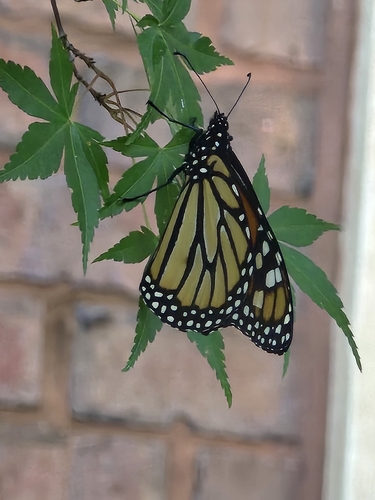
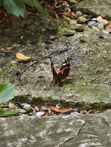
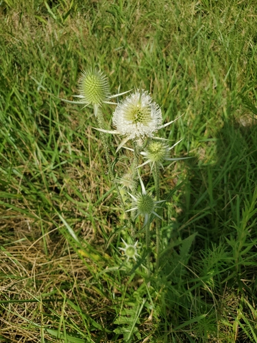
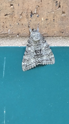
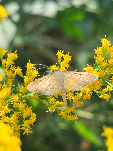
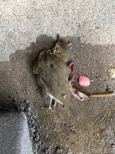
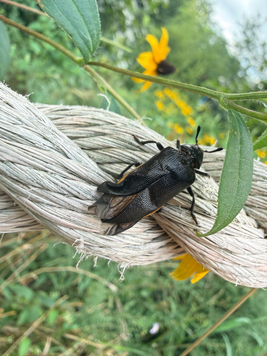

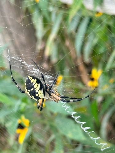
Research-grade observations from iNaturalist (within ~15 mi).
Nearest stream gauge
Events
Gallery
Sources
- • Wikipedia
- • US Census Bureau (ACS 5-year estimates)
- • Open-Meteo (ERA5 reanalysis)
- • NOAA National Weather Service
- • Wikidata
- • Open-Meteo Air Quality (CAMS)
- • USGS Earthquake Catalog (global feed)
- • NCES via Urban Institute Education Data Portal
- • GBIF (Global Biodiversity Information Facility)
- • iNaturalist
- • CDC PLACES
- • Open-Elevation
- • Open-Meteo / sunrise-sunset.org
- • Wikipedia Pageviews API
- • Open Library