Browse / United States / Illinois / Springfield
Springfield
Illinoiscity

Springfield
Total population
112,170
Median home value
$189,800
Bachelor's+
Median income
$72,889
Founded
1821
Air quality index
Demographic figures from US Census Bureau · ACS 5-year estimates. Overview below cites Wikipedia and may reference a different year.
- Frost Advisory · MinorFrost Advisory issued October 16 at 1:19AM CDT until October 17 at 9:00AM CDT by NWS Lincoln IL
Source: NOAA National Weather Service.
City facts
Sister cities
Facts from Wikidata (CC0).
Overview
Springfield is the capital city of the U.S. state of Illinois and the county seat of Sangamon County. Its population was 114,394 at the 2020 United States census, making it the state's seventh-most populous city, the second-most populous outside of the Chicago metropolitan area and the most populous in Central Illinois. Approximately 208,000 residents live in the Springfield metropolitan area which consists of all of Sangamon and Menard counties.
Read more on WikipediaHistory & geography
History
Settlers originally named this community "Calhoun", after Senator John C. Calhoun of South Carolina, expressing their cultural ties. The land that Springfield now occupies was visited first by trappers and fur traders who came to the Sangamon River in 1818. The first cabin was built in 1820 by John Kelly, after he discovered that the area was plentiful with deer and other wild game. He built his cabin on a hill, overlooking a creek known eventually as the Town Branch. A stone marker on the north side of Jefferson street, halfway between 1st and College streets, marks the location of this original dwelling. A second stone marker at the northwest corner of 2nd St. and Jefferson St., often mistaken for the original home site, marks instead the location of the first county courthouse, which was later built on Kelly's property. In 1821, Calhoun was designated as the county seat of Sangamon County due to its location, fertile soil, and trading opportunities. Settlers from Kentucky, Virginia, and North Carolina came to the developing settlement. According to local history, the name was suggested by the wife of John Kelly, after Spring Creek, which ran through the area known as "Kelly's Field". Kaskaskia was the first capital of the Illinois Territory from its organization in 1809, continuing through statehood in 1818, and through the first year as a state in 1819. Vandalia was the second state capital of Illinois, from 1819 to 1839. In 1839, Springfield was designated as the third capital. The designation was largely due to the efforts of Abraham Lincoln and his associates, who were nicknamed the "Long Nine" for their combined height of . Historian Kenneth J. Winkle (1998) examines the historiography concerning the development of the Second Party System (Whigs versus…
Geography
Located within the central section of Illinois, Springfield is northeast of St. Louis. The Champaign/Urbana area is to the east, Peoria is to the north, and Bloomington–Normal is to the northeast. Decatur is due east. Chicago is 200 miles to the northeast. The city is at an elevation of above sea level. According to the 2010 census, Springfield has a total area of , of which (or 90.44%) is land and (or 9.56%) is water. The city is located in the Lower Illinois River Basin, in a large area known as Till Plain. Sangamon County, and the city of Springfield, are in the Springfield Plain subsection of Till Plain. The Plain is underlain by glacial till that was deposited by a large continental ice sheet that repeatedly covered the area during the Illinoian Stage. The majority of the Lower Illinois River Basin is flat, with relief extending no more than in most areas, including the Springfield subsection of the plain. The differences in topography are based on the age of drift. The Springfield and Galesburg Plain subsections represent the oldest drift, Illinoian, while Wisconsinian drift resulted in end moraines on the Bloomington Ridged Plain subsection of Till Plain. Lake Springfield is a human-made reservoir owned by City Water, Light & Power, It was built and filled in 1935 by damming Lick Creek, a tributary of the Sangamon River which flows past Springfield's northern outskirts. The lake is used primarily as a source for drinking water for the city of Springfield, also providing cooling water for the condensers at the power plant on the lake. It attracts approximately 600,000 visitors annually, and its of shoreline is home to over 700 lakeside residences and eight public parks. The term "full pool" describes the lake at above sea level and indicates…
Excerpted from the corresponding Wikipedia article (CC BY-SA).
Demographics & economy
Race & ethnicity
Source: US Census Bureau — American Community Survey, 5-year estimates.
Geography
Coordinates & boundaries from the US Census TIGER/Line shapefiles.
Climate
10-year averages from ERA5 reanalysis (Open-Meteo).
Current forecast
Forecast for Springfield, IL from NOAA NWS API.
Air quality
Current readings from Open-Meteo Air Quality API (Copernicus CAMS European reanalysis).
Industrial & pollution facilities
Natural hazard risk
Health (adults)
Age-adjusted prevalence estimates from CDC PLACES (latest release).
Walkability
Amenities nearby
Wildlife & biodiversity
Most-observed species
- Northern CardinalCardinalis cardinalis (Linnaeus, 1758) · Aves14,725
- Blue JayCyanocitta cristata (Linnaeus, 1758) · Aves13,832
- Red-bellied WoodpeckerMelanerpes carolinus (Linnaeus, 1758) · Aves9,942
- American CrowCorvus brachyrhynchos C.L.Brehm, 1822 · Aves8,580
- Downy WoodpeckerDryobates pubescens (Linnaeus, 1766) · Aves8,254
- American RobinTurdus migratorius Linnaeus, 1766 · Aves8,193
- Black-capped ChickadeePoecile atricapillus (Linnaeus, 1766) · Aves8,065
- Tufted TitmouseBaeolophus bicolor (Linnaeus, 1766) · Aves8,026
Citizen-science & research observations from the Global Biodiversity Information Facility (GBIF).
Schools
Earthquake history
Most recent
- M 3.8 — 2026-01-204 km NW of Ohlman, Illinois
- M 2.58 — 2023-10-266 km SSE of Herrick, Illinois
Events from the USGS Earthquake Catalog (global) (FDSN Event Web Service).
Photos
Sights & places nearby
Notable people from here


People born within ~10 km, from Wikidata (CC0). Click any name for their Wikipedia article.
Nearby places in Illinois
Geography & sun
Elevation, sunrise/sunset and daylight from Open-Meteo. Solar climatology from NASA POWER.
Nearby airports
Public attention
Pageview totals from the Wikimedia Pageviews API.
Books about Springfield


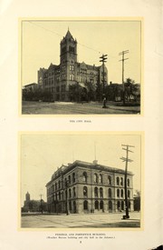

Search results from Open Library.
Recent natural events nearby
Ground air-quality sensors
Recently spotted species
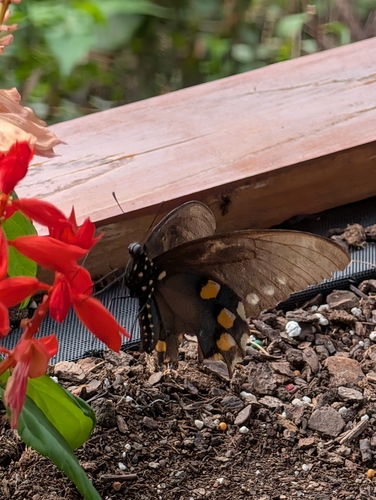
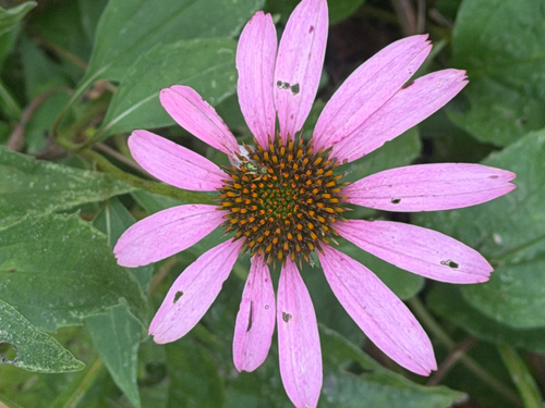
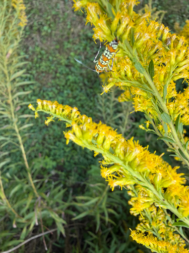
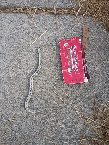
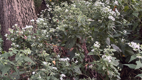
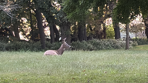
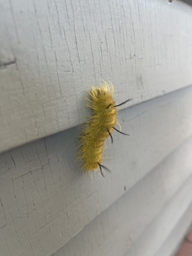
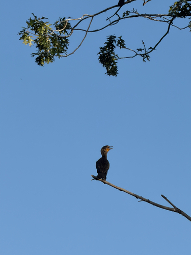
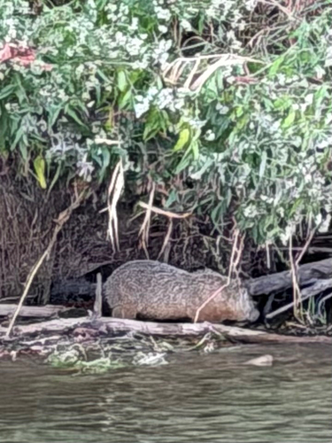
Research-grade observations from iNaturalist (within ~15 mi).
Nearest stream gauge
Events
Notable, recurring, and historical events associated with Springfield, sourced from Wikidata.
Source: Wikidata (CC0).
Gallery
Sources
- • Wikipedia
- • US Census Bureau (ACS 5-year estimates)
- • Open-Meteo (ERA5 reanalysis)
- • NOAA National Weather Service
- • Wikidata
- • Open-Meteo Air Quality (CAMS)
- • USGS Earthquake Catalog (global feed)
- • GBIF (Global Biodiversity Information Facility)
- • iNaturalist
- • CDC PLACES
- • Open-Elevation
- • Open-Meteo / sunrise-sunset.org
- • Wikipedia Pageviews API
- • Open Library