Browse / Israel / Israel / Udim
Udim
Israelvillage
Founded
1948
Demographic figures from Israel Central Bureau of Statistics. Overview below cites Wikipedia and may reference a different year.
City facts
Facts from Wikidata (CC0).
Overview
Udim is a moshav in central Israel. Located near Netanya, it falls under the jurisdiction of Hof HaSharon Regional Council. In 2024 it had a population of 1,167.
Read more on WikipediaHistory & geography
History
The area of Udim lies within the southern Sharon plain, historically part of the Forest of Sharon. Until the 20th century the land was associated with the Palestinian village of Ghabat Kafr Sur and nearby hamlets, and was characterized by oak woodlands, seasonal cultivation, and grazing lands. In the late Ottoman and Mandate periods, intensification of farming in the coastal plain led to deforestation and environmental degradation. Udim was founded in 1948 by Holocaust survivors who had immigrated to Mandatory Palestine in the aftermath of World War II. Its name, meaning "firebrands," was taken from the Book of Zechariah (3:2), symbolizing the settlers as survivors rescued from destruction: “And the LORD said unto Satan: 'The LORD rebuke thee, O Satan; yea, the LORD that hath chosen Jerusalem rebuke thee; is not this man a brand plucked out of the fire?’” The moshav was established partly on lands of depopulated Palestinian villages in the Sharon coastal plain, including Khirbat al-Zababida and associated lands near Wadi al-Falik. In its early years, Udim’s economy was based on mixed farming—citrus, vegetables, and poultry—supported by state institutions assisting new immigrant settlements. Over time, many residents found employment in nearby Netanya and Tel Aviv, and the moshav developed into a suburban-rural community while retaining agricultural activity.
Excerpted from the corresponding Wikipedia article (CC BY-SA).
Geography
Coordinates & boundaries from the US Census TIGER/Line shapefiles.
Climate
Air quality
Walkability
Amenities nearby
Wildlife & biodiversity
Earthquake history
Photos
Sights & places nearby
Notable people from here
Nearby places in Israel
- Sumar634.5 mi away · pop. 180
- Rafi660.4 mi away · pop. 3,797
- Shinabad661.6 mi away
- Harir670.4 mi away
- Kerend-e Gharb672.6 mi away · pop. 7,798
- Nowdeshah685.3 mi away · pop. 3,683
- Arkvaz686.3 mi away · pop. 11,977
- Eslamabad-e Gharb686.9 mi away · pop. 97,000
- Marivan687.1 mi away · pop. 110,464
- Vara687.2 mi away
- Tazeh Shahr688.9 mi away · pop. 8,629
- Paveh689.1 mi away · pop. 25,771
Geography & sun
Nearby airports
Public attention
Books about this place
Recent natural events nearby
Ground air-quality sensors
Recently spotted species
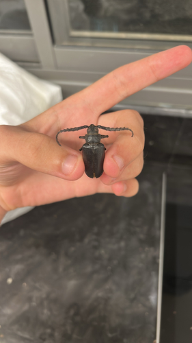
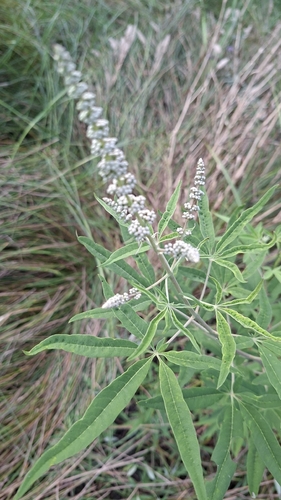

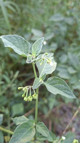

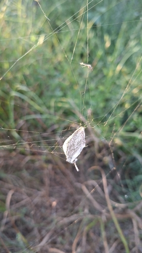
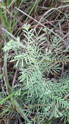
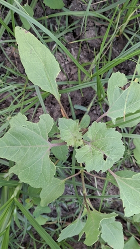
Research-grade observations from iNaturalist (within ~15 mi).
Events
Gallery
Geotagged photos within ~6 miles of Udim, from Wikimedia Commons contributors.
 0.1 mi
 0.2 mi
 0.2 mi
 0.2 mi
 0.2 mi
 0.3 mi
 0.3 mi
 0.3 mi
 0.3 mi
 0.3 mi
 0.4 mi
 0.4 mi
 0.4 mi
 0.5 mi
 0.5 mi
 0.5 mi
 0.5 mi
 0.5 mi
 0.5 mi
 0.5 mi
 0.5 mi
 0.5 mi
 0.5 mi
 0.5 mi
Photos via Wikimedia Commons — see each image page for license & attribution.
Sources
- • Wikipedia
- • Wikimedia Commons
- • Wikidata
- • iNaturalist