Browse / India / Rajasthan / Abu Road
Abu Road
Rajasthantown

Abu Road
Total population
52,300
Demographic figures from Ministry of Statistics (India). Overview below cites Wikipedia and may reference a different year.
City facts
Facts from Wikidata (CC0).
Overview
Abu Road is a city and sub-district in Sirohi district of Rajasthan state in western India, lies on the bank of West Banas River. It is the tehsil and sub-district headquarters and the largest city in Sirohi District in terms of area and population. Its railway station is an important stop on the main Indian Railways line between New Delhi and Ahmedabad and registers an impressive growth in passenger traffic and revenue generation for North Western Railway zone. The popular hill station, Mount Abu is 27 km up the hill from Abu Road.
Read more on WikipediaHistory & geography
History
The old name of Abu Road city was Kharadi. The Rajputana–Malwa Railway set up the railway station here on 30 December 1880, and the station was named Abu Road. The road to Mount Abu was built in 1845, during the rule of Maharao Shiv Singh of Sirohi.
Geography
Abu Road is an important Industrial and commercial city in the southwestern region of Rajasthan State on the bank of West Banas river. City is surrounded by Aravali hill range and about 482 kms from state capital Jaipur and about 248 kms from Jodhpur City. It lies southeast of Mount Abu, which is approx. 27 km up the hill and an important tourist destination. In addition, famous Ambaji temple in Gujarat State is approx. 19 kms from the city. The city starts its geographical boundary from Talhati in North to Maval in south adjoining Gujarat-Rajasthan Border covering residential areas of Talhati, Akrabhatta, Manpur, Ganka, Tartoli, Railway Colony, Riico Housing Colony, Santpur and parts of Chandrawati. Abu Road has a hot semi-arid climate (Köppen BSh), typical of northwestern India. In Summer, it's hot and humid with an average temperature of and hot sandy winds. In winter, minimal can fall to , which is cool compared to other cities in Rajasthan and during the monsoon, the average rainfall is about per season.
Excerpted from the corresponding Wikipedia article (CC BY-SA).
Geography
Coordinates & boundaries from the US Census TIGER/Line shapefiles.
Climate
Air quality
Walkability
Amenities nearby
Wildlife & biodiversity
Earthquake history
Photos
Sights & places nearby
Notable people from here
Nearby places in Rajasthan
- Pindwara27.1 mi away · pop. 24,500
- Sirohi28.3 mi away · pop. 39,200
- Bhinmal48.6 mi away · pop. 49,700
- Bali58.3 mi away · pop. 19,900
- Ahore61.2 mi away · pop. 16,900
- Kherwara61.7 mi away · pop. 7,500
- Sadri64.3 mi away · pop. 27,400
- Sanchore66.1 mi away · pop. 25,800
- Sarada69.7 mi away
- Nathdwara72.3 mi away · pop. 42,000
- Dungarpur72.8 mi away · pop. 47,700
- Desuri73.9 mi away · pop. 10,400
Geography & sun
Nearby airports
Public attention
Books about this place
Recent natural events nearby
Ground air-quality sensors
Recently spotted species
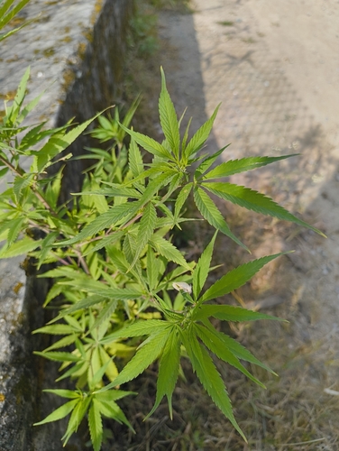
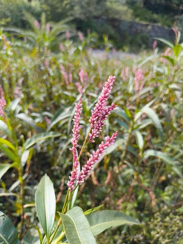
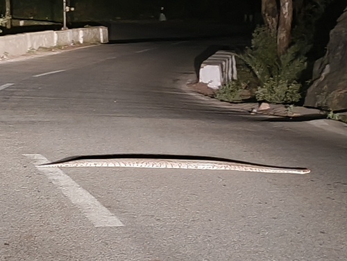
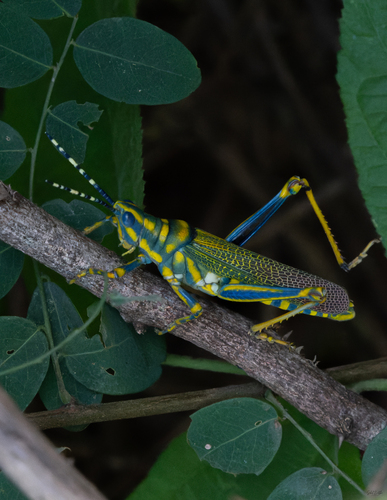
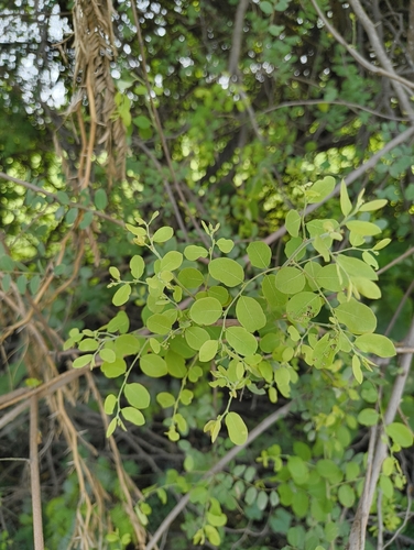
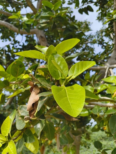
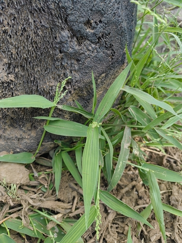
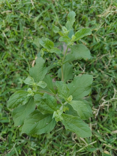
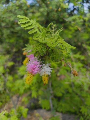
Research-grade observations from iNaturalist (within ~15 mi).
Events
Gallery
Sources
- • Wikipedia
- • Wikidata
- • iNaturalist