Browse / India / Uttar Pradesh / Agra
Agra
Uttar Pradeshcity

Agra
Total population
1,500,000
Demographic figures from Ministry of Statistics (India). Overview below cites Wikipedia and may reference a different year.
City facts
Facts from Wikidata (CC0).
Overview
Agra is a city on the banks of the Yamuna river in the Indian state of Uttar Pradesh. It is a part of Western Uttar Pradesh, about 230 kilometres (140 mi) south-east of the national capital Delhi and 330 km west of the state capital Lucknow. It is also part of the Braj region. With a population of roughly 1.6 million, Agra is the fourth-most populous city in Uttar Pradesh and twenty-third most populous city in India.
Read more on WikipediaHistory & geography
History
== History == Agra has two histories: one of the ancient city on the east, or left, bank of the river Yamuna, going back so far as to be lost in the legends of Krishna and Mahabharata and reestablished by Sikandar Khan Lodi in 1504–1505; the other of the modern city, founded by Akbar in 1558, on the right bank of the river which is associated with the Mughals, and known throughout the world as the city of the Taj. Little now remains of ancient Agra except few traces of its foundations. It was a place of importance under various Hindu dynasties before the Muslim invasions of India, but its history is unclear, and possess little historical interest. The 17th century chronicler named Abdullah said it was a village before the reign of Sikandar Lodi. The king of Mathura had used the Agra fort as a jail. The degradation in the status of the site was a result of the destruction brought upon it by Mahmud of Ghazni. Masud Sa'd Salman claims to have been there when Mahmud assaulted Agra, claiming the Raja Japal surrendered after seeing a nightmare. Mahmud however proceeds to pillage the city. Agra's period of historical importance began during Sikandar Lodi's reign. In 1504–1505, Sultan Sikandar Lodi (reigned 1489–1517), the Afghan ruler of the Delhi Sultanate, rebuilt Agra and made it the seat of government. Sikandar Lodi appointed a commission which inspected and surveyed both sides of the Yamuna from Delhi to Etawah and finally chose a place on the left bank, or the east side of the Yamuna, as the site for the city. Agra on the left bank of the Yamuna grew into a large flourishing town with royal presence, officials, merchants, scholars, theologians and artists. The city became one of the most important centres of Islamic learning in India. The sultan founded the village…
Geography
The region around Agra consists almost entirely of a level plain, with hills in the extreme southwest. The rivers in the region include Yamuna and Chambal. The region is also watered by the Agra Canal. Millet, barley, wheat, and cotton are among the crops grown in the surrounding countryside. Both Rabi and Kharif crops are cultivated. The deserted city of Fatehpur Sikri is about 40 km southwest of Agra. about 336 km from state capital Lucknow (via Agra-Lucknow Expressway), and about 227 km from Kanpur (via Agra-Lucknow Expressway). The city has an average elevation of 170 metres above sea level. This is the tropical and subtropical steppe climate, a major climate type of the Köppen classification that occurs primarily on the periphery of the true deserts in low-latitude regions, forming a transition between the desert climate (BW), and the more humid subtropical and tropical climates. The city features warm winters, sweltering and dry summers and a monsoon season. The Agra district, from its proximity to the sandy Thar Desert to the west, is relatively dry, and has greater extremes of temperature than districts further east. The hot west wind, Loo blows mainly during April, May, and June with great force and can cause fatal heatstrokes. The highest temperature ever registered in Agra was 48.6 °C, on 28 May 2024. The monsoon rains usually begin in the first week in July; and generally end in mid-September. However, the monsoons, though substantial in Agra, are not quite as heavy as the monsoon in other parts of India. The weather moderates by the middle of October. The region around Agra, the northwest Indo-Gangetic plain is prone to extreme fog in the winter months, which is caused due to natural factors like low winds, low temperatures,…
Excerpted from the corresponding Wikipedia article (CC BY-SA).
Geography
Coordinates & boundaries from the US Census TIGER/Line shapefiles.
Climate
Air quality
Walkability
Amenities nearby
Wildlife & biodiversity
Most-observed species
- Rose-ringed ParakeetPsittacula krameri (Scopoli, 1769) · Aves1,489
- Black KiteMilvus migrans (Boddaert, 1783) · Aves1,106
- Common MynaAcridotheres tristis (Linnaeus, 1766) · Aves1,026
- Rock PigeonColumba livia J.F.Gmelin, 1789 · Aves1,006
- Black-winged StiltHimantopus himantopus (Linnaeus, 1758) · Aves880
- Red-wattled LapwingVanellus indicus (Boddaert, 1783) · Aves872
- Indian PeafowlPavo cristatus Linnaeus, 1758 · Aves861
- House CrowCorvus splendens Vieillot, 1817 · Aves847
Citizen-science & research observations from the Global Biodiversity Information Facility (GBIF).
Earthquake history
Most recent
- M 4.7 — 2007-10-1813 km NE of Chh?ta, India
Events from the USGS Earthquake Catalog (global) (FDSN Event Web Service).
Photos
Sights & places nearby
Notable people from here
Nearby places in Uttar Pradesh
Geography & sun
Elevation, sunrise/sunset and daylight from Open-Meteo. Solar climatology from NASA POWER.
Nearby airports
Public attention
Pageview totals from the Wikimedia Pageviews API.
Books about Agra
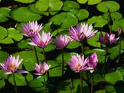
Search results from Open Library.
Recent natural events nearby
Ground air-quality sensors
Recently spotted species
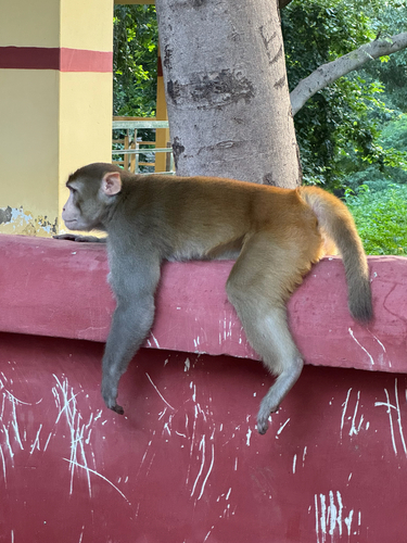
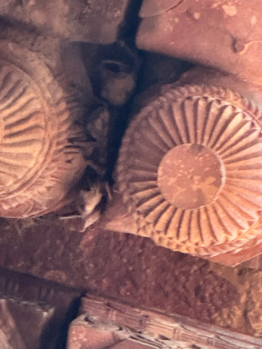
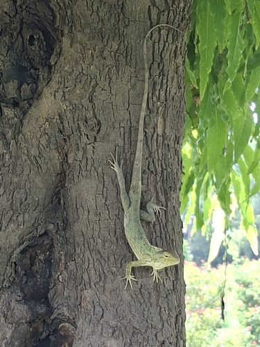
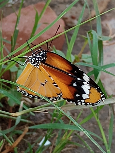
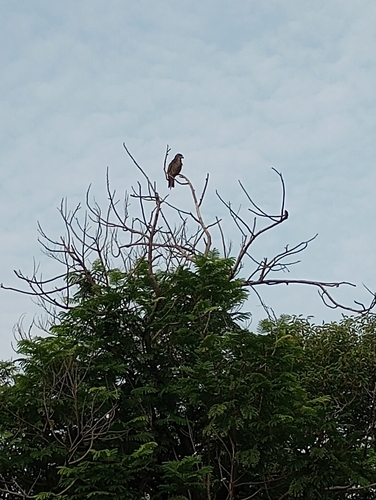


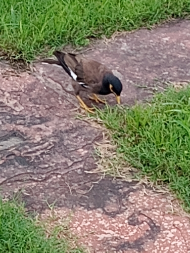

Research-grade observations from iNaturalist (within ~15 mi).
Events
Gallery
Sources
- • Wikipedia
- • Wikidata
- • USGS Earthquake Catalog (global feed)
- • GBIF (Global Biodiversity Information Facility)
- • iNaturalist
- • Open-Meteo / sunrise-sunset.org
- • Wikipedia Pageviews API
- • Open Library