Browse / India / Gujarat / Ahmedabad
Ahmedabad
Gujaratcity

Ahmedabad
Total population
6,352,254
Founded
1411
Air quality index
Demographic figures from Ministry of Statistics (India). Overview below cites Wikipedia and may reference a different year.
City facts
Sister cities
Facts from Wikidata (CC0).
Overview
Ahmedabad, also spelt Amdavad, is the most populous city in the Indian state of Gujarat. It is the administrative headquarters of the Ahmedabad district and the seat of the Gujarat High Court. Ahmedabad's population of 5,570,585 makes it the fifth-most populous city in India, and the encompassing urban agglomeration population estimated at 8,854,444 is the seventh-most populous in India. Ahmedabad is located near the banks of the Sabarmati River, 25 km (16 mi) from the capital of Gujarat, Gandhinagar, also known as its twin city.
Read more on WikipediaHistory & geography
History
Based on relics found in several neighbourhoods of the old city and on writings of the Persian historian al-Biruni, it is surmised that an early Bhil tribal group settlement was known as Ashaval. According to Merutunga, Karna, the Chaulukya (Solanki) ruler of Anhilvada (modern Patan), successfully launched a military campaign against Ashaval and founded a city nearby called Karnavati. The location of Karnavati is not definitively known. References from the 14th and 15th centuries mention Ashaval but do not mention Karnavati. Ahmad Shah I of the Gujarat Sultanate transferred its capital from Anhilvada to Ashaval in 1411 CE; as was customary, the city was subsequently renamed Ahmedabad after the Sultan. The area around Ahmedabad has been inhabited since the 11th century, when it was known as Ashaval. At that time, Karna, the Chaulukya (Solanki) ruler of Anhilwara (modern Patan), waged a successful war against the Bhil king of Ashaval, and established a city called Karnavati on the banks of the Sabarmati. Solanki rule lasted until the 13th century, when Gujarat came under the control of the Vaghela dynasty of Dholka. Gujarat subsequently came under the control of the Delhi Sultanate in the 14th century. However, by the early 15th century, the local Muslim governor Zafar Khan Muzaffar established his independence from the Delhi Sultanate and crowned himself Sultan of Gujarat as Muzaffar Shah I, thereby founding the Muzaffarid dynasty. In 1411, the area came under the control of his grandson, Sultan Ahmed Shah, who selected the forested area along the banks of the Sabarmati river for his new capital. He laid the foundation of a new walled city near Karnavati and named it Ahmedabad after himself. According to other versions, he named the city after four Muslim saints in…
Geography
Ahmedabad lies in western India at 53 metres (174 feet) above sea level on the banks of the Sabarmati river, in north-central Gujarat. It covers an area of . The Sabarmati frequently dried up in the summer, leaving only a small stream of water, and the city is in a sandy and dry area. However, with the execution of the Sabarmati River Front Project and Embankment, the waters from the Narmada river have been diverted to the Sabarmati to keep the river flowing throughout the year, thereby eliminating Ahmedabad's water problems. The steady expansion of the Rann of Kutch threatened to increase desertification around the city area and much of the state; however, the Narmada Canal network is expected to alleviate this problem. Except for the small hills of Thaltej-Jodhpur Tekra, the city is almost flat. Three lakes lie within the city's limits—Kankaria, Vastrapur and Chandola. Kankaria, in the neighbourhood of Maninagar, is an artificial lake developed by the Sultan of Gujarat, Qutb-ud-din, in 1451. According to the Bureau of Indian Standards, the town falls under seismic zone 3, in a scale of 2 to 5 (in order of increasing vulnerability to earthquakes). Ahmedabad is divided by the Sabarmati into two physically distinct eastern and western regions. The eastern bank of the river houses the old city, which includes the central town of Bhadra. This part of Ahmedabad is characterised by packed bazaars, the pol system of closely clustered buildings, and numerous places of worship. A pol (pronounced as pole) is a housing cluster which comprises many families of a particular group, linked by caste, profession, or religion. This is a list of pols in the old walled city has helped Ahmedabad gain a place in UNESCO's Tentative Lists, in selection criteria II, III and IV. The…
Excerpted from the corresponding Wikipedia article (CC BY-SA).
Geography
Coordinates & boundaries from the US Census TIGER/Line shapefiles.
Climate
10-year averages from ERA5 reanalysis (Open-Meteo).
Air quality
Current readings from Open-Meteo Air Quality API (Copernicus CAMS European reanalysis).
Walkability
Amenities nearby
Wildlife & biodiversity
Most-observed species
- Rock PigeonColumba livia J.F.Gmelin, 1789 · Aves15,455
- Common MynaAcridotheres tristis (Linnaeus, 1766) · Aves13,995
- Rose-ringed ParakeetPsittacula krameri (Scopoli, 1769) · Aves12,547
- Purple SunbirdCinnyris asiaticus (Latham, 1790) · Aves11,745
- Black KiteMilvus migrans (Boddaert, 1783) · Aves11,659
- Jungle BabblerTurdoides striata (Dumont, 1823) · Aves11,425
- Eurasian Collared-DoveStreptopelia decaocto (Frivaldszky, 1838) · Aves11,282
- Red-vented BulbulPycnonotus cafer (Linnaeus, 1766) · Aves11,249
Citizen-science & research observations from the Global Biodiversity Information Facility (GBIF).
Earthquake history
Most recent
- M 4.1 — 2024-11-1511 km SW of Chānasma, India
- M 4 — 2010-09-027 km S of H?rij, India
Events from the USGS Earthquake Catalog (global) (FDSN Event Web Service).
Photos
Sights & places nearby
Notable people from here


People born within ~10 km, from Wikidata (CC0). Click any name for their Wikipedia article.
Nearby places in Gujarat
- Sarkhej5.7 mi away
- Adalaj9.9 mi away · pop. 11,957
- Barejadi10.7 mi away
- Sanand12.7 mi away
- Kalol16.3 mi away · pop. 113,200
- Mahemdavad17.5 mi away · pop. 35,000
- Dahegam18.4 mi away · pop. 5,000
- Bavla19 mi away · pop. 30,000
- Kheda19.8 mi away · pop. 5,000
- Dholka22.2 mi away · pop. 5,000
- Kadi24.8 mi away · pop. 56,000
- Mahudha26.7 mi away · pop. 16,000
Geography & sun
Elevation, sunrise/sunset and daylight from Open-Meteo. Solar climatology from NASA POWER.
Nearby airports
Public attention
Pageview totals from the Wikimedia Pageviews API.
Books about Ahmedabad

Search results from Open Library.
Recent natural events nearby
Ground air-quality sensors
Recently spotted species
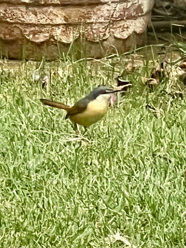
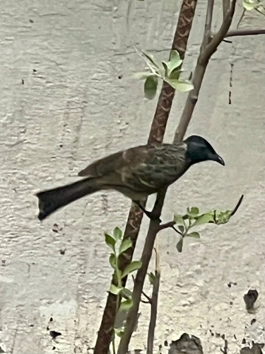

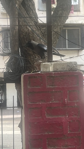
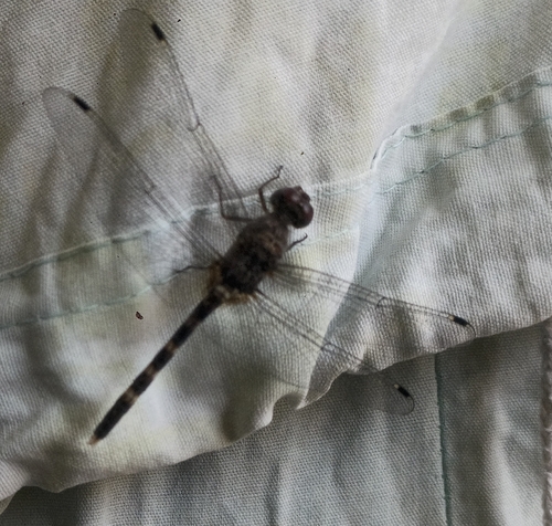
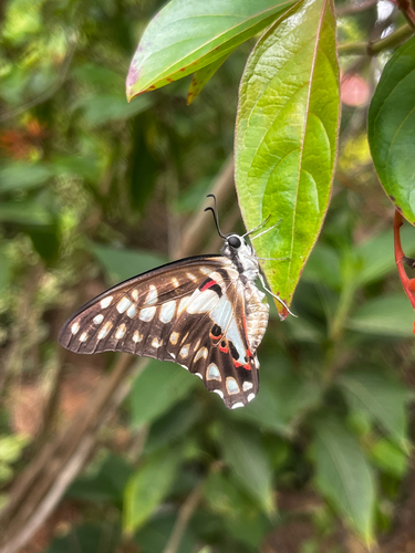

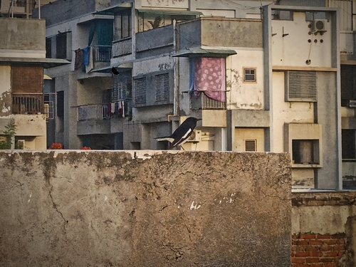
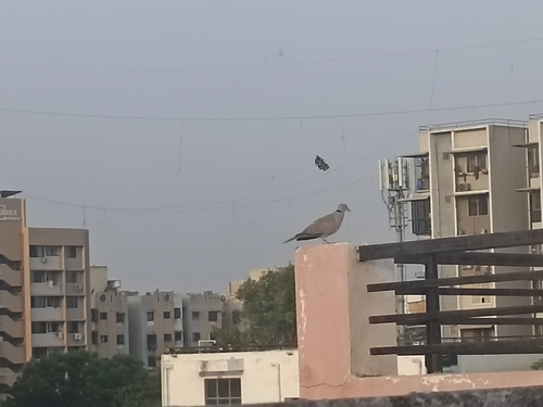
Research-grade observations from iNaturalist (within ~15 mi).
Events
Gallery
Geotagged photos within ~6 miles of Ahmedabad, from Wikimedia Commons contributors.
 0 mi
0 mi_(skysign)_2024-09-28_00H18M42S901.jpg) 0 mi
0 mi_(skysign)_2024-09-28_00H18M43S902.jpg) 0 mi
0 mi_(skysign)_2024-09-28_00H18M44S903.jpg) 0 mi
0 mi_(skysign)_2024-09-28_00H18M45S904.jpg) 0 mi
0 mi_(skysign)_2024-09-28_00H18M46S905.jpg) 0 mi
0 mi_(skysign)_2024-09-28_00H18M48S907.jpg) 0 mi
0 mi_(skysign)_2024-09-28_00H18M47S906.jpg) 0 mi
0 mi_(skysign)_2024-09-28_00H18M49S908.jpg) 0 mi
0 mi_(skysign)_2024-09-28_00H18M50S909.jpg) 0 mi
0 mi_(skysign)_2024-09-28_00H18M52S911.jpg) 0 mi
0 mi_(skysign)_2024-09-28_00H18M53S912.jpg) 0 mi
0 mi_(skysign)_2024-09-28_00H18M51S910.jpg) 0 mi
0 mi 0.1 mi
 0.1 mi
 0.1 mi
_(skysign)_2024-09-28_00H18M25S884.jpg) 0.1 mi
0.1 mi_(skysign)_2024-09-28_00H18M26S885.jpg) 0.1 mi
0.1 mi_(skysign)_2024-09-28_00H18M27S886.jpg) 0.1 mi
0.1 mi_(skysign)_2024-09-28_00H18M28S887.jpg) 0.1 mi
0.1 mi_(skysign)_2024-09-28_00H18M29S888.jpg) 0.1 mi
0.1 mi_(skysign)_2024-09-28_00H18M30S889.jpg) 0.1 mi
0.1 mi_(skysign)_2024-09-28_00H18M31S890.jpg) 0.1 mi
0.1 mi_(skysign)_2024-09-28_00H18M32S891.jpg) 0.1 mi
0.1 miPhotos via Wikimedia Commons — see each image page for license & attribution.
Sources
- • Wikipedia
- • Open-Meteo (ERA5 reanalysis)
- • Wikimedia Commons
- • Wikidata
- • Open-Meteo Air Quality (CAMS)
- • USGS Earthquake Catalog (global feed)
- • GBIF (Global Biodiversity Information Facility)
- • iNaturalist
- • Open-Elevation
- • Open-Meteo / sunrise-sunset.org
- • Wikipedia Pageviews API
- • Open Library