Browse / India / Mizoram / Aizawl
Aizawl
Mizoramcity

Aizawl
Total population
291,822
Demographic figures from Ministry of Statistics (India). Overview below cites Wikipedia and may reference a different year.
City facts
Overview
Aizawl, formerly known as Aijal, is the capital city and the most populous city of Mizoram, India. It is also the third largest city in northeast India. It is situated atop a series of ridges, with an average elevation of around 1,132 metres above sea level. In 2024, the city has an estimated population of 415,000 people.
Read more on WikipediaHistory & geography
Geography
Aizawl lies at approximately 23°43′N, 92°43′E and is perched on the ridge of a hill at an average elevation of 1,132 meters (3,714 feet) above sea level. The topography features steep slopes, with elevations ranging from 60 meters to 1,509 meters, making the city a mix of rugged terrains. Aizawl is surrounded by lush greenery and is part of the Eastern Himalayan foothills. The city is located at the north of the Tropic of Cancer in the northern part of Mizoram, with the Tlawng river valley to its west and the Tuirial river valley to its east. Aizawl experiences a humid subtropical climate (Cwa) under the Köppen classification. Summers are moderately warm with temperatures averaging between 20–30 °C (68–86 °F), while winters are cooler with temperatures ranging from 11–21 °C (52–70 °F). The city receives most of its rainfall from April to October, peaking in the months of May, July, August, and September. The remaining months are relatively dry.
Excerpted from the corresponding Wikipedia article (CC BY-SA).
Geography
Coordinates & boundaries from the US Census TIGER/Line shapefiles.
Climate
Air quality
Walkability
Amenities nearby
Wildlife & biodiversity
Earthquake history
Photos
Sights & places nearby
Notable people from here
Geography & sun
Elevation, sunrise/sunset and daylight from Open-Meteo. Solar climatology from NASA POWER.
Nearby airports
Public attention
Pageview totals from the Wikimedia Pageviews API.
Books about this place
Recent natural events nearby
Ground air-quality sensors
Recently spotted species
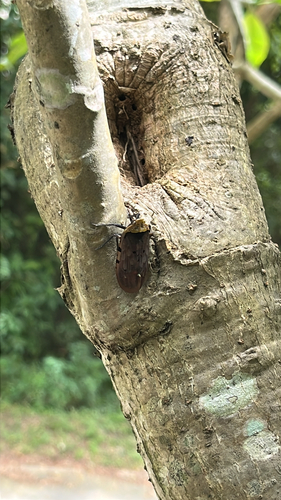
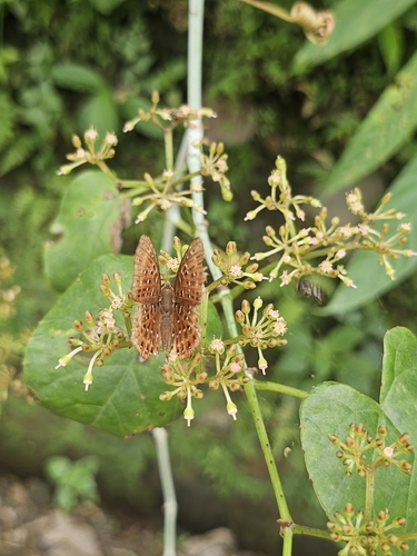
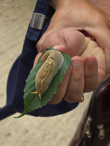
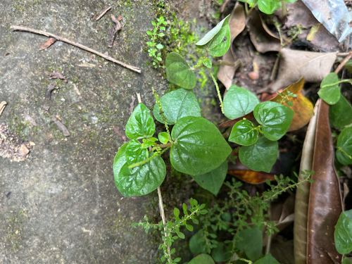
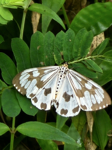
Research-grade observations from iNaturalist (within ~15 mi).
Events
Gallery
Sources
- • Wikipedia
- • iNaturalist
- • Open-Meteo / sunrise-sunset.org
- • Wikipedia Pageviews API