Browse / India / Haryana / Ambala
Ambala
Haryanacity

Ambala
Total population
196,000
Demographic figures from Ministry of Statistics (India). Overview below cites Wikipedia and may reference a different year.
City facts
Facts from Wikidata (CC0).
Overview
Ambala is a city and municipal corporation in the Ambala district of Haryana, India. It is situated on the border between the states of Punjab and Haryana, in close proximity to Chandigarh, the shared capital of both states.
Read more on WikipediaHistory & geography
History
The town is said to derive its name from Amba Rajput, who supposedly founded it during the 14th century CE. According to another version, it is named after the goddess "Bhawani Amba," whose temple still exists in Ambala city. The English spelling Umballa has sometimes been used; this spelling was used by Rudyard Kipling in his 1901 novel Kim. Archaeological surveyor C.J. Rodgers found Indo-Parthian Kingdom coins as well as coins of Hunas, Mihirakula, and Toramana, which indicated that after the disintegration of the Mauryan empire, the area was taken over by Indo-Parthians and later incorporated into the domain of the Hunas. It was under the rule of Gill Jats from 1748 to 1825. It was also the capital of Nishanwalia Misl. For some time, it had been under the rule of Jawahir Singh of Mustafabad, a descendant of Desu Singh Randhawa. Ambala Army Cantonment was established in 1843 after the British were forced to leave its Karnal Cantonment following the malaria epidemic of 1841–42, as there were no known effective means to control malaria epidemics in those days. The cantonment houses the '2 Corps', one of the three Strike Corps of the Indian Army. Ambala Air Force Base is one of the oldest and largest airbases that were inherited from the British by the Indian Air Force. It was from this airbase that Spitfires and Harvards flown by Instructors of the Advanced Flying Training School took part in the Indo-Pakistani War of 1947–1948. Subsequently, Ambala was the front line airfield for many years. This base was home to various aircraft that were inducted into the Indian Air Force like Harvards, Vampires, Ouragans, Hunters, Liberators, Spitfire, Canberra, and MiG-21. The airbase was briefly attacked in 1965 by B-57 bombers of the Pakistan Air Force. Today, the Airbase…
Geography
Ambala has a humid subtropical climate (Koppen: Cwa), with a monsoon season that is considerably wetter, hotter, and more humid than the mild, dry winter.
Excerpted from the corresponding Wikipedia article (CC BY-SA).
Geography
Coordinates & boundaries from the US Census TIGER/Line shapefiles.
Climate
Air quality
Walkability
Amenities nearby
Wildlife & biodiversity
Earthquake history
Photos
Sights & places nearby
Notable people from here


People born within ~10 km, from Wikidata (CC0). Click any name for their Wikipedia article.
Nearby places in Haryana
- Shahzadpur16.2 mi away · pop. 7,278
- Shahbad16.2 mi away
- Barara19.8 mi away
- Naraingarh21.9 mi away · pop. 5,000
- Panchkula22.2 mi away · pop. 558,890
- Sadhaura26.9 mi away · pop. 13,181
- Kala Amb27.4 mi away
- Kurukshetra29 mi away · pop. 1,340,871
- Pehowa30.2 mi away · pop. 1,000
- Pinjore30.3 mi away
- Ladwa31.7 mi away
- Bilaspur32.2 mi away
Geography & sun
Elevation, sunrise/sunset and daylight from Open-Meteo. Solar climatology from NASA POWER.
Nearby airports
Public attention
Pageview totals from the Wikimedia Pageviews API.
Books about Ambala
Search results from Open Library.
Recent natural events nearby
Ground air-quality sensors
Recently spotted species
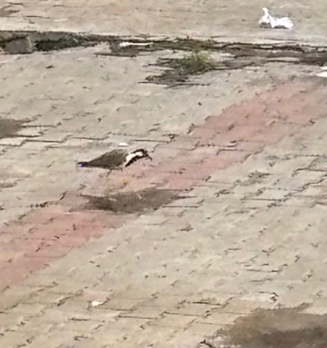

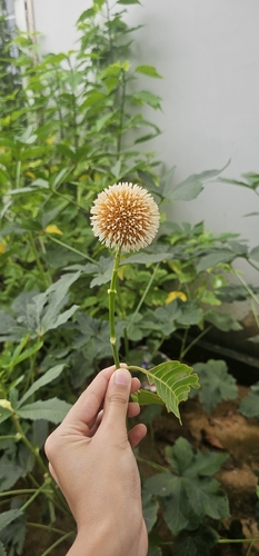
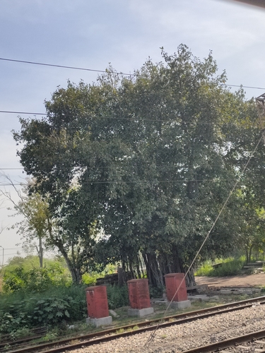
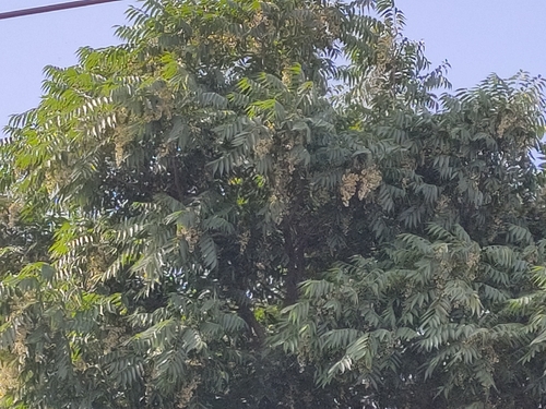
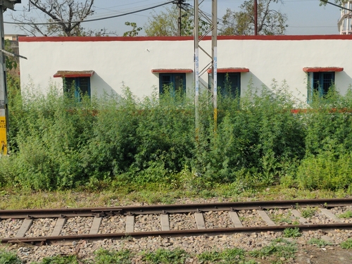
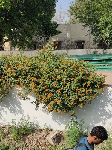
Research-grade observations from iNaturalist (within ~15 mi).
Events
Gallery
Official Identifiers
Local Government Directory (India)
- LGD code
- 576559
- Population (Wikidata)
- 1,389
- Wikidata
- Q15687784
LGD code via Wikidata P5578
Sources
- • Wikipedia
- • Wikidata
- • iNaturalist
- • Open-Meteo / sunrise-sunset.org
- • Wikipedia Pageviews API
- • Open Library
- • Local Government Directory (India) — LGD code via Wikidata P5578