Browse / India / Maharashtra / Anjangaon
Anjangaon
Maharashtratown
Total population
56,400
Founded
1981
Demographic figures from Ministry of Statistics (India). Overview below cites Wikipedia and may reference a different year.
City facts
Facts from Wikidata (CC0).
Overview
Anjangaon is a city and a municipal council in Amravati district in the state of Maharashtra, India. Anjangaon City got the status of Municipal Council in 1930. It is the first municipal council established in Amravati district and the second biggest council as well. Anjangaon Surji Tehsil was established in 1981. It is technically made up of two main zones, Anjangaon and Surji, on either side of Shahanur River, and is called Anjangaon-Surji in combination. It is called a "Banana Hub of Vidarbha" as it is a large producer of bananas and a hub of medicinal plants - Piper longum and Safed musali.
Read more on WikipediaHistory & geography
History
Anjangaon Surji is an ancient town having religious and historical importance. After the Battle of Assaye and the Battle of Argaum, the Treaty of Surji-Anjangaon was signed on 30 December 1803 at Anjangaon between the British and Daulat Rao Sindhia, chief of the Maratha people. In 18th century Vithoji Narayan was awarded the vatandari of Anjangaon. There are records that he was awarded with a title 'Surji'. Anjangaon is mentioned as one of 46 Mahals of Vidarbha in Ain-i-Akbari. The revenue of Anjangaon as mentioned in Ain-i-Akbari was 32 lakhs. The river Shahanoor on the banks of which Anjangaon is located, was historically named as Sharneera (meaning river generated by an arrow ). A popular story exists that during the year of banishment, Arjuna generated the water stream by hitting the soil by an arrow. The Devnath Math in Surji was established in 1754 AD. Saint Ruplal Maharaj established a famous Vitthal Mandir in this town. This is a city of betel leaves. Previously betel leaves were exported from here to Indonesia, Pakistan and Arabian countries. Now this place is known for cultivation of Piper longum, a medicinal plant. According to Imperial Gazetteer of India (William Wilson Hunter), "in the year 1881, the population of Anjangaon was 9842 consisting of 5060 males and 4782 females. Of the total population, 7714 were returned as Hindus, 1955 Muslims, 6 Sikhs, and 167 Jains. A mart for cotton cloth, excellent basket-work, and pan grown in the adjacent garden lands. Large weekly market". Anjangaon City got the status of Municipal Council in 1930. It is the first municipal council established in Amravati district & the second biggest council as well. Anjangaon Surji Tehsil was established in 1981.
Excerpted from the corresponding Wikipedia article (CC BY-SA).
Geography
Coordinates & boundaries from the US Census TIGER/Line shapefiles.
Climate
Air quality
Walkability
Amenities nearby
Wildlife & biodiversity
Earthquake history
Most recent
- M 4.4 — 2024-09-3022 km NNW of Anjangaon, India
Events from the USGS Earthquake Catalog (global) (FDSN Event Web Service).
Photos
Sights & places nearby
Notable people from here
Nearby places in Maharashtra
- Achalpur14.2 mi away · pop. 112,300
- Paratwada16.2 mi away · pop. 5,000
- Chikhaldara16.5 mi away
- Daryapur16.6 mi away · pop. 36,400
- Chandur Bazar28.6 mi away · pop. 18,800
- Amravati33 mi away · pop. 647,000
- Badnera34.5 mi away · pop. 10,000
- Nanadgaon34.7 mi away
- Sangrampur41.9 mi away
- Mozari45.4 mi away
- Morshi46.9 mi away · pop. 37,300
- Shegaon47.3 mi away · pop. 59,700
Geography & sun
Elevation, sunrise/sunset and daylight from Open-Meteo. Solar climatology from NASA POWER.
Nearby airports
Public attention
Pageview totals from the Wikimedia Pageviews API.
Books about this place
Recent natural events nearby
Ground air-quality sensors
Recently spotted species
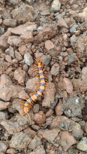
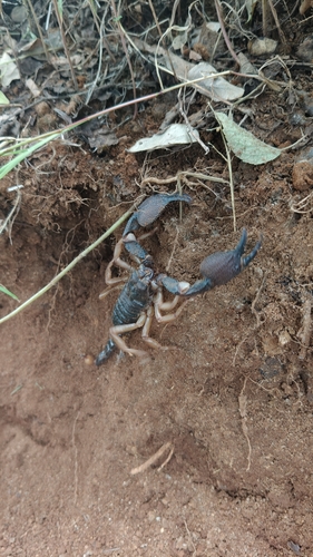
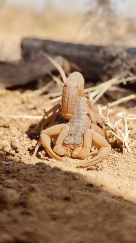

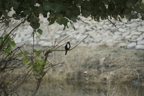
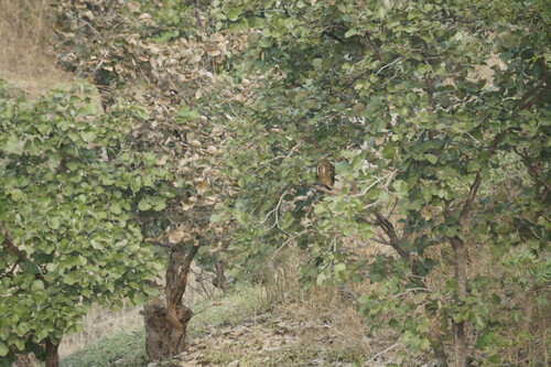
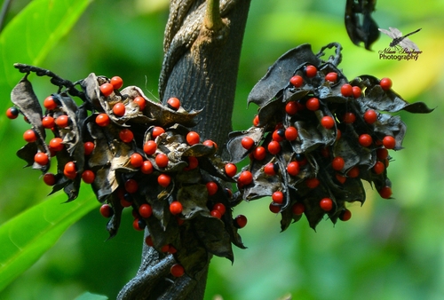
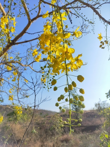
Research-grade observations from iNaturalist (within ~15 mi).
Events
Gallery
Sources
- • Wikipedia
- • Wikidata
- • USGS Earthquake Catalog (global feed)
- • iNaturalist
- • Open-Meteo / sunrise-sunset.org
- • Wikipedia Pageviews API