Browse / India / Punjab / Attari
Attari
Punjabtown

Attari
Total population
5,000
Demographic figures from Ministry of Statistics (India). Overview below cites Wikipedia and may reference a different year.
City facts
Overview
Attari, also spelled Atari, is a village of Amritsar district in the Punjab state of India, 3 km from the Indo-Pakistani border at Wagah. It is situated 25 km west of the Sikh holy city of Amritsar, and is the last Indian station on the rail route connecting Lahore, Pakistan with the Indian capital Delhi. Attari village was the native village of Sardar Sham Singh Attariwala, one of the generals in the Army of Maharaja Ranjit Singh.
Read more on WikipediaHistory & geography
Geography
Coordinates & boundaries from the US Census TIGER/Line shapefiles.
Climate
Air quality
Walkability
Amenities nearby
Wildlife & biodiversity
Earthquake history
Photos
Sights & places nearby
Notable people from here


People born within ~10 km, from Wikidata (CC0). Click any name for their Wikipedia article.
Nearby places in Punjab
- Baía da Traição7608.8 mi away · pop. 9,224
- Aldeia Forte7609.1 mi away
- Aldeia Acajutibiro7609.2 mi away
- Aldeia do Galego7609.5 mi away
- Tapuio7610.7 mi away
- Camurupim7611 mi away
- Barra do Mamanguape7611.1 mi away
- Lagoa de Praia7611.6 mi away
- Aldeia Laranjeira7611.7 mi away
- Praia de Campina7612 mi away
- Jacaré de César7613.4 mi away
- Praia de Fagundes7613.5 mi away
Geography & sun
Elevation, sunrise/sunset and daylight from Open-Meteo. Solar climatology from NASA POWER.
Nearby airports
Public attention
Pageview totals from the Wikimedia Pageviews API.
Books about this place
Recent natural events nearby
Ground air-quality sensors
Recently spotted species



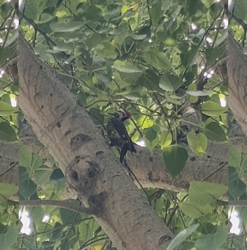

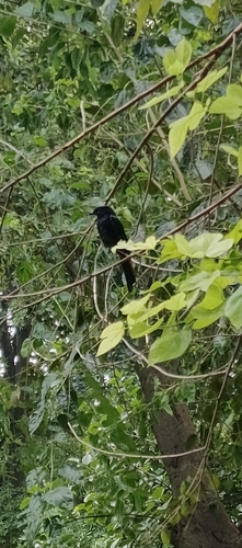
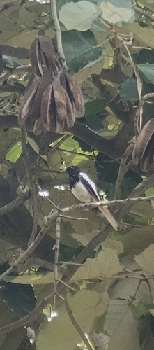
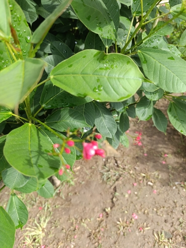
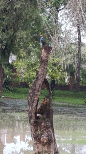
Research-grade observations from iNaturalist (within ~15 mi).
Events
Gallery
Sources
- • Wikipedia
- • Wikidata
- • iNaturalist
- • Open-Meteo / sunrise-sunset.org
- • Wikipedia Pageviews API