Browse / India / Maharashtra / Aurad Shahajani
Aurad Shahajani
Maharashtratown
Demographic figures from Ministry of Statistics (India). Overview below cites Wikipedia and may reference a different year.
City facts
Overview
Aurad Shahajani is a town in the Nilanga taluka of Latur district, Maharashtra. Situated on the banks of the Terna River, it lies near the state border with Karnataka. As the largest village in the Nilanga taluka, Aurad Shahajani serves as a central hub for the surrounding rural communities. Because of this regional dependence, there have been local demands to elevate the town to the status of an independent taluka. The town is located 20 kilometers from Nilanga and 68 kilometers from Bidar, Karnataka. The nearest railhead is Bhalki Railway Station, approximately 37 kilometers away.
Read more on WikipediaHistory & geography
Geography
Aurad Shahajani is situated 636 metres above mean sea level, on the Balaghat plateau, near the Maharashtra–Karnataka state boundary. It receives its drinking water from the nearby Terna River, Terna joins to Manjra river here at this village and then named Wanjara by the name of Wanjarkheda (a village at the other bank of river in Karnatka state) which suffered from environmental degradation and silting in the late 20th and early 21st centuries. Master Deenanath Mangeshkar Mahavidyalaya and some other villagers tried successfully to wide shape of river. Temperature: Annual temperatures in range from , with the most comfortable time to visit in the winter; Aurad Shahajani is October to February. The highest temperature ever recorded was . The lowest recorded temperature was . In the cold season the district is sometimes affected by cold waves in association with the eastward passage of western disturbances across north India, when the minimum temperature may drop down to about . Rainfall: Most of the rainfall occurs in the monsoon season from June to September. Rainfall varies from 9.0 to 693 mm/month. Average annual rainfall is 725 mm.
Excerpted from the corresponding Wikipedia article (CC BY-SA).
Geography
Coordinates & boundaries from the US Census TIGER/Line shapefiles.
Climate
Air quality
Walkability
Amenities nearby
Wildlife & biodiversity
Most-observed species
- Laughing DoveSpilopelia senegalensis (Linnaeus, 1766) · Aves109
- Ashy PriniaPrinia socialis Sykes, 1832 · Aves100
- Red-vented BulbulPycnonotus cafer (Linnaeus, 1766) · Aves95
- Saxicoloides fulicatus (Linnaeus, 1766)Saxicoloides fulicatus (Linnaeus, 1766) · Aves78
- Red-wattled LapwingVanellus indicus (Boddaert, 1783) · Aves77
- White-throated KingfisherHalcyon smyrnensis (Linnaeus, 1758) · Aves75
- Brahminy StarlingSturnia pagodarum (Gmelin, 1789) · Aves68
- Green Bee-eaterMerops orientalis Latham, 1801 · Aves61
Citizen-science & research observations from the Global Biodiversity Information Facility (GBIF).
Earthquake history
Most recent
- M 4 — 2011-09-1911 km NW of Umarga, India
- M 3.6 — 2007-09-0621 km S of Ausa, India
Events from the USGS Earthquake Catalog (global) (FDSN Event Web Service).
Photos
Sights & places nearby
Notable people from here
Geography & sun
Elevation, sunrise/sunset and daylight from Open-Meteo. Solar climatology from NASA POWER.
Nearby airports
Public attention
Pageview totals from the Wikimedia Pageviews API.
Books about this place
Recent natural events nearby
Ground air-quality sensors
Recently spotted species
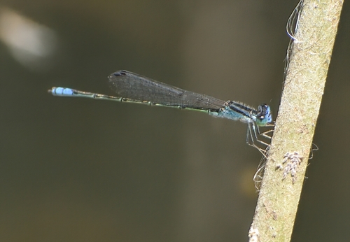
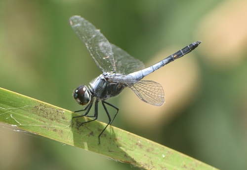
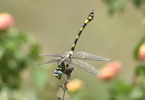
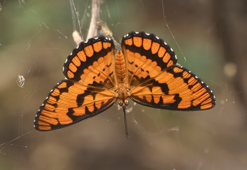
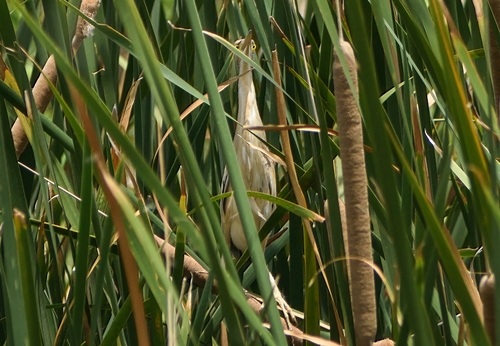
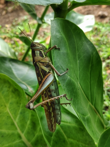
Research-grade observations from iNaturalist (within ~15 mi).
Events
Gallery
Sources
- • Wikipedia
- • USGS Earthquake Catalog (global feed)
- • GBIF (Global Biodiversity Information Facility)
- • iNaturalist
- • Open-Meteo / sunrise-sunset.org
- • Wikipedia Pageviews API