Browse / India / Himachal Pradesh / Baddi
Baddi
Himachal Pradeshtown

Baddi
Demographic figures from Ministry of Statistics (India). Overview below cites Wikipedia and may reference a different year.
City facts
Facts from Wikidata (CC0).
Overview
Baddi is an industrial city and Municipal Council, near Solan city and Chandigarh in the southwestern Solan district of Himachal Pradesh, India. It is part of the BBN industrial area. The town lies on the border of Himachal Pradesh, Punjab and Haryana states in the Shivalik Hills, around 65 kilometres (40 mi) west of Solan city. Baddi has biggest truck union and largest pharmaceutical hub in whole of the Asia.
Read more on WikipediaHistory & geography
Geography
Baddi's geographic coordinates are . The town is situated at an average elevation of 426 metres (1397 ft).
Excerpted from the corresponding Wikipedia article (CC BY-SA).
Geography
Coordinates & boundaries from the US Census TIGER/Line shapefiles.
Climate
Air quality
Walkability
Amenities nearby
Wildlife & biodiversity
Earthquake history
Photos
Sights & places nearby
Notable people from here
Nearby places in Himachal Pradesh
Geography & sun
Elevation, sunrise/sunset and daylight from Open-Meteo. Solar climatology from NASA POWER.
Nearby airports
Public attention
Pageview totals from the Wikimedia Pageviews API.
Books about this place
Recent natural events nearby
Ground air-quality sensors
Recently spotted species
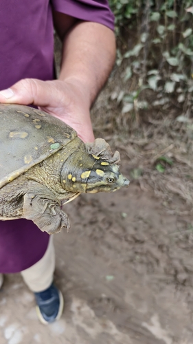
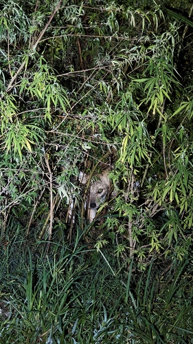
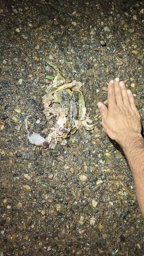
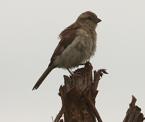
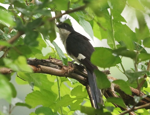
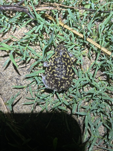
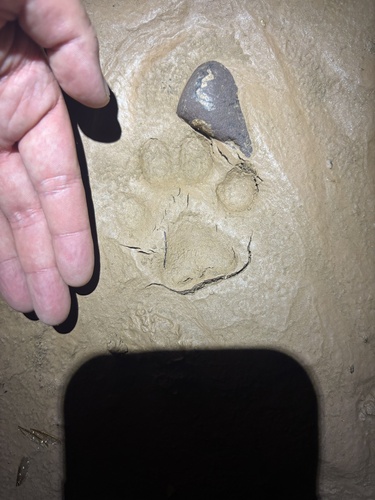
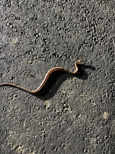

Research-grade observations from iNaturalist (within ~15 mi).
Events
Gallery
Sources
- • Wikipedia
- • Wikidata
- • iNaturalist
- • Open-Meteo / sunrise-sunset.org
- • Wikipedia Pageviews API