Browse / India / Maharashtra / Balapur
Balapur
Maharashtratown
Total population
44,500
Air quality index
Demographic figures from Ministry of Statistics (India). Overview below cites Wikipedia and may reference a different year.
City facts
Facts from Wikidata (CC0).
Overview
Balapur is a city and a municipal council in Akola district in the state of Maharashtra, India.
Read more on WikipediaHistory & geography
History
Balapur was an important military station after Ellichpur now Achalpur during the Mughal period. It became the seat of Provincial governor of Berar instead of Ellichpur and Prince Murad, son of Akbar settled in Barar with Balapur as his headquarters in 1596. Near Balapur he founded a new city named Shahpur and constructed a beautiful palace for himself which is now in ruins. As his relationship was deteriorating with Abdul Rahim Khan-i-Khanan, the commander of the army, Akbar recalled the Khan-i-Khanan and sent his trusted friend Abul Fazl to help him. After the fall of Ahmadnagar, Balapur was still the principal garrison town of Berar, but the next prince sent to administer the Deccan after the death of Murad, Daniyal Mirza preferred Burhanpur, as his viceregal capital. Daniyal died of drink in 1605. The death of his third son was a severe shock to the Emperor Akbar, who survived Daniyal Mirza only for a few months, and died in October 1605, when he was succeeded by his eldest son Salim (Jehangir). The climate of Balapur had an unfortunate effect on the Mughal officers. Akbar's son Murad had already died there from the effects of drink, and in 1617 Raja Maan Singh, a distinguished and valued officer of Jahangir's, died there from the same cause. Shahnawaz Khan succumbed to the same fate a few years later. Balapur was one of the richest Pargana in Berar Subah. Muhammad Azam Shah, Son of Aurangzeb Alamgir resided and build a Mud fort here. A Chhatri or Pavilion was erected by Mirza Raja Jai Singh, Commander of Shah Jahan and general of Aurangzeb. In 1720, Asaf Jah defeated the Mughal forces dispatched against him.
Geography
Balapur has an average elevation of . The town is an important junction for traffic on National Highway No 6, which carries the Calcutta traffic to the Port City of Bombay. Transport destined for south takes a southward turn following a wide State Highway towards Hyderabad, crossing the NH 6. There are three rivers: Mann, Mahens and Bhikund. Two of them are in the city including a dam at Mann river providing water to thermal power plant placed in Paras. The nearest rail head is at Paras, 7 km from the town. The Mahagenco is expanding its thermal power station with two 250 MW units to augment the falling generating capacity of the state power corporation. There is further potential to expand it to 1000 MW making it a Super Thermal Power Station. One of the popular and traditional profession of people here is manufacturing DARI (cotton rugs/carpets) using handlooms. Other major business of people here is manufacturing bricks, which is exported to surrounding districts. There are no suicide by the farmers here as the majority of them are Muslims and do not go for high yield crops which are not suitable to Balapur area.
Excerpted from the corresponding Wikipedia article (CC BY-SA).
Geography
Coordinates & boundaries from the US Census TIGER/Line shapefiles.
Climate
Air quality
Current readings from Open-Meteo Air Quality API (Copernicus CAMS European reanalysis).
Walkability
Amenities nearby
Wildlife & biodiversity
Most-observed species
- Red-wattled LapwingVanellus indicus (Boddaert, 1783) · Aves126
- Red-vented BulbulPycnonotus cafer (Linnaeus, 1766) · Aves114
- Laughing DoveSpilopelia senegalensis (Linnaeus, 1766) · Aves106
- Green Bee-eaterMerops orientalis Latham, 1801 · Aves102
- Rose-ringed ParakeetPsittacula krameri (Scopoli, 1769) · Aves102
- Rock PigeonColumba livia J.F.Gmelin, 1789 · Aves96
- Ashy PriniaPrinia socialis Sykes, 1832 · Aves92
- Black DrongoDicrurus macrocercus Vieillot, 1817 · Aves91
Citizen-science & research observations from the Global Biodiversity Information Facility (GBIF).
Earthquake history
Most recent
- M 4.4 — 2024-09-3022 km NNW of Anjangaon, India
Events from the USGS Earthquake Catalog (global) (FDSN Event Web Service).
Photos
Sights & places nearby
Notable people from here
Nearby places in Maharashtra
- Shegaon10.3 mi away · pop. 59,700
- Khamgaon13.6 mi away · pop. 94,100
- Akola15.1 mi away · pop. 425,800
- Patur17.9 mi away · pop. 21,100
- Pati23.7 mi away · pop. 1,200
- Borgaon Manju24.6 mi away
- Sangrampur26 mi away
- Malegaon33.2 mi away · pop. 21,290
- Daryapur39.7 mi away · pop. 36,400
- Pimpri Gawali41.1 mi away
- Mangrul Pir44.2 mi away · pop. 31,000
- Washim45.5 mi away · pop. 78,400
Geography & sun
Elevation, sunrise/sunset and daylight from Open-Meteo. Solar climatology from NASA POWER.
Nearby airports
Public attention
Pageview totals from the Wikimedia Pageviews API.
Books about this place
Recent natural events nearby
Ground air-quality sensors
Recently spotted species
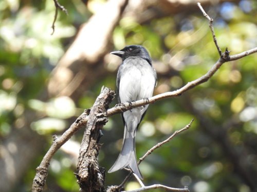
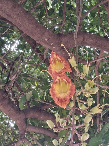
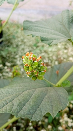
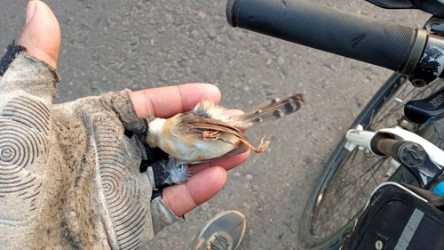
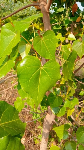

Research-grade observations from iNaturalist (within ~15 mi).
Events
Gallery
Sources
- • Wikipedia
- • Wikidata
- • Open-Meteo Air Quality (CAMS)
- • USGS Earthquake Catalog (global feed)
- • GBIF (Global Biodiversity Information Facility)
- • iNaturalist
- • Open-Meteo / sunrise-sunset.org
- • Wikipedia Pageviews API