Barh
Bihartown

Barh
Demographic figures from Ministry of Statistics (India). Overview below cites Wikipedia and may reference a different year.
City facts
Overview
Barh is a sub division of Patna District. It is a town and one of the 6 sub-division of Patna district, Bihar in India. It is located on the southern bank of the Ganges.
Read more on WikipediaHistory & geography
History
In 1495, after the sack of Patna, Sikandar Lodi advanced towards Bengal, but a non-aggression pact was made between the Delhi and the Bengal armies. It was decided that the territory to the east of Barh would be controlled by Bengal's ruler, while those to the west would be controlled by the Delhi empire. During the Mughal period, Barh had a large sarai with 200 rooms for travelers/traders built by Sher Shah Suri. In 1776, James Rennell, also called the "Father of Indian Geography", surveyed Bengal and listed prominent destinations. On 10 November 1877, the Barh railway station was opened to the public. Between the 1890s to 1910, Barh and Patna were afflicted by the plague. It is believed that the 1898 plague came by sea by rats aboard infected ships, though it first appeared in the British India Steam Navigation Company's wharf. The two main factors for the spread of the plague were believed to be the high presence of rats and houses with poor hygiene and bad ventilation. In 1928, Sampati Kuer, a young widow from Berhna village, committed sati on the funeral pyre of her deceased husband. The British government suspected foul play and sentenced ten people to prison, including her brother Murlidhar Pande, as sati was outlawed 100 years earlier by the British government.
Excerpted from the corresponding Wikipedia article (CC BY-SA).
Geography
Coordinates & boundaries from the US Census TIGER/Line shapefiles.
Climate
Air quality
Walkability
Amenities nearby
Wildlife & biodiversity
Earthquake history
Photos
Sights & places nearby
Notable people from here
Nearby places in Bihar
Geography & sun
Nearby airports
Public attention
Books about this place
Recent natural events nearby
Ground air-quality sensors
Recently spotted species
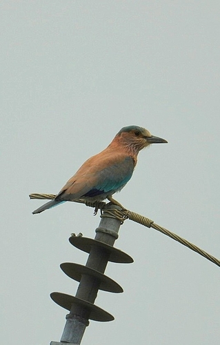
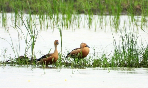
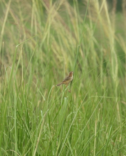
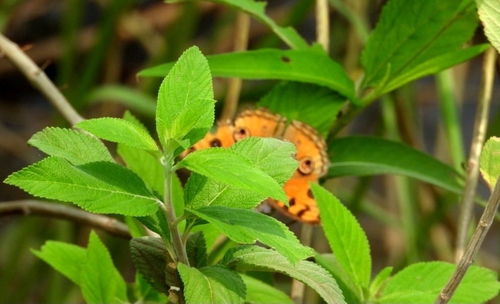
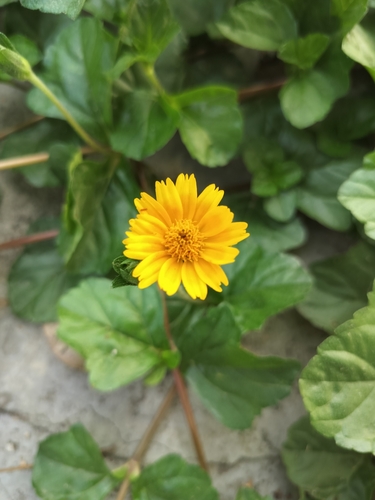
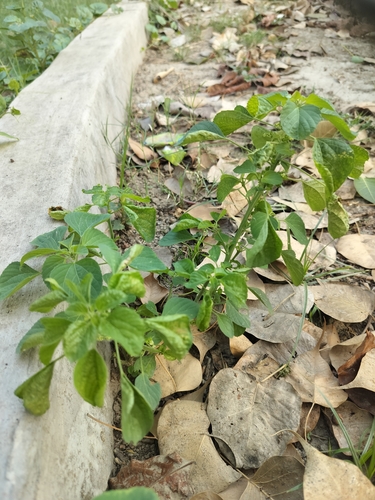
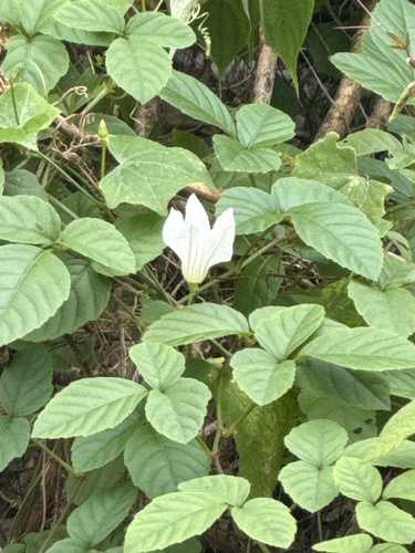
Research-grade observations from iNaturalist (within ~15 mi).
Events
Gallery
Sources
- • Wikipedia
- • iNaturalist