Browse / India / Rajasthan / Beawar
Beawar
Rajasthancity
Total population
145,800
Founded
1836
Demographic figures from Ministry of Statistics (India). Overview below cites Wikipedia and may reference a different year.
City facts
Facts from Wikidata (CC0).
Overview
Beawar is a city in Beawar District of Rajasthan, India. Beawar was the financial capital of Ajmer-Merwara state of Rajputana. As of 2011, the population of Beawar city is 151152. It is located 70 kilometres (43 mi) from Ajmer and 184 kilometres (114 mi) southwest of the state capital Jaipur, amidst the Aravali hills. The city used to be a major center for trade, especially in raw cotton, and used to have cotton presses and the Krishna cotton mills. Currently, major industries include mineral-based units, machine-based units, machine tools and accessories, pre-stressed concrete pipes, plastic products, textiles, wooden furniture and asbestos cement pipes. Beawar is the largest producer of cement in northern India and home to Shree Cement.Beawar is located central region of Rajasthan.
Read more on WikipediaHistory & geography
History
In the early 19th century, Beawar was a village. By 1825, the British acquired control of the Ajmer-Merwara region, and established a cantonment around 4 miles from the existing village. In 1836, they attracted merchants and constructed a bazaar (market), which became the core of a site called "Naya Shahar" or "Naya Nagar" ("New Town"). The population of the town rose substantially over the next decade, as it became the centre of cotton trade. In 1871, the battalion was moved from the local cantonment to Ajmer, but the town continued remained an important trading centre. A municipality was established at Beawar in 1866. In 1880, railway reached the town, and in 1881, Krishna Cotton Mill was established there. By 1901, the town had a population of 21,928, with 48.6 of the work force employed in the manufacturing sector (38% in cotton textiles industry). Metalwork, calico printing, and grain trade were the other important industries of the town.
Geography
Beawar is located at . It has an average elevation of . [https://web.archive.org/web/20110707222007/http://www.beawar.com/map/map_gif/beawar_map.gif Map of Beawar's old urban area]
Excerpted from the corresponding Wikipedia article (CC BY-SA).
Geography
Coordinates & boundaries from the US Census TIGER/Line shapefiles.
Climate
Air quality
Walkability
Amenities nearby
Wildlife & biodiversity
Earthquake history
Photos
Sights & places nearby
Notable people from here


People born within ~10 km, from Wikidata (CC0). Click any name for their Wikipedia article.
Nearby places in Rajasthan
- Vijainagar24 mi away · pop. 32,100
- Nasirabad29.6 mi away · pop. 50,800
- Pushkar30.8 mi away · pop. 21,600
- Ajmer32.6 mi away · pop. 542,600
- Raipur49.1 mi away · pop. 7,300
- Marwar Junction50.7 mi away · pop. 12,000
- Pali65.3 mi away · pop. 230,000
- Todaraisingh72.9 mi away · pop. 23,600
- Desuri73.2 mi away · pop. 10,400
- Rohat73.4 mi away · pop. 6,900
- Gangrar74.7 mi away · pop. 10,600
- Baori78.8 mi away · pop. 10,700
Geography & sun
Elevation, sunrise/sunset and daylight from Open-Meteo. Solar climatology from NASA POWER.
Nearby airports
Public attention
Pageview totals from the Wikimedia Pageviews API.
Books about Beawar
Search results from Open Library.
Recent natural events nearby
Ground air-quality sensors
Recently spotted species
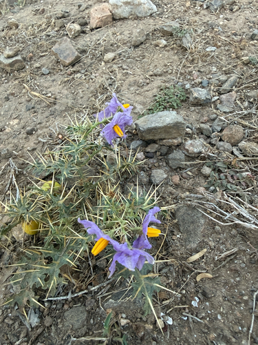
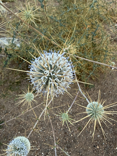
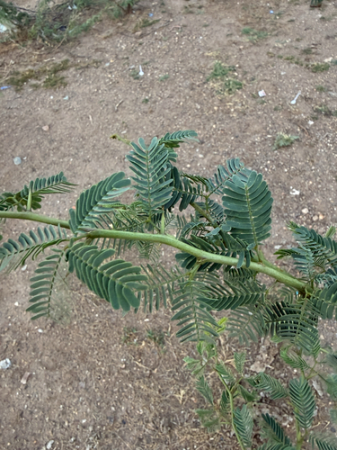
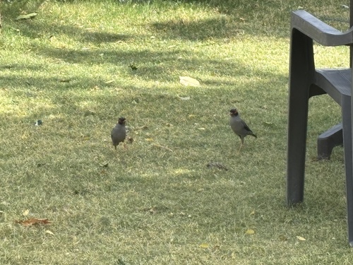
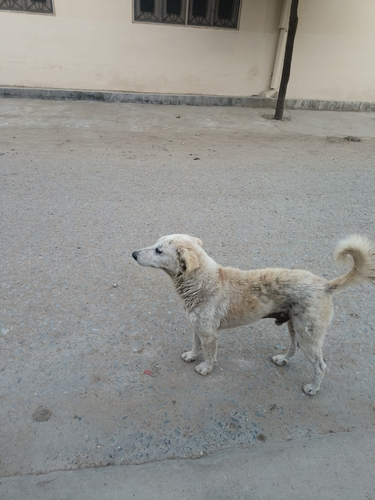
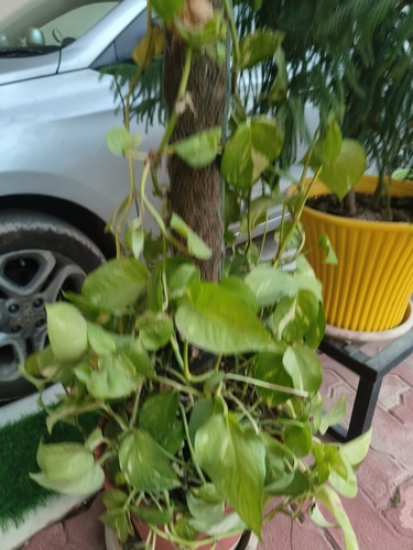
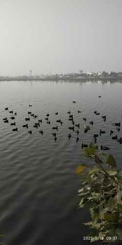
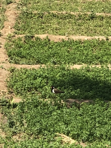
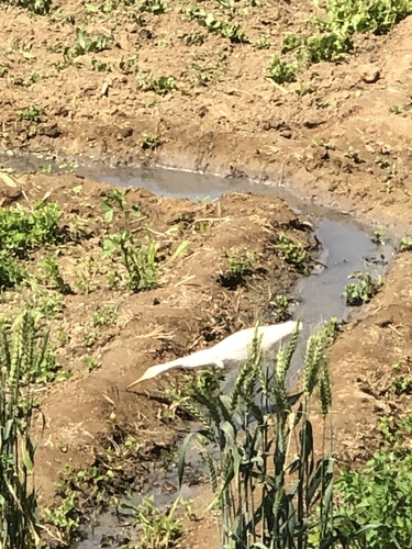
Research-grade observations from iNaturalist (within ~15 mi).
Events
Gallery
Sources
- • Wikipedia
- • Wikidata
- • iNaturalist
- • Open-Meteo / sunrise-sunset.org
- • Wikipedia Pageviews API
- • Open Library