Browse / India / Bihar / Behea
Behea
Bihartown

Behea
Demographic figures from Ministry of Statistics (India). Overview below cites Wikipedia and may reference a different year.
City facts
Overview
Behea or Bihiya is a nagar panchayat town and block in Bhojpur district in the Indian state of Bihar. Historically, it was a seat of the Harihoban Rajputs and later, in the colonial era, became the headquarters of the influential Bihiā Estate. The town is particularly notable for the 19th-century invention of the Bihiā Mill, a bullock-powered sugar mill that became widely adopted.
Read more on WikipediaHistory & geography
Geography
Coordinates & boundaries from the US Census TIGER/Line shapefiles.
Climate
Air quality
Walkability
Amenities nearby
Wildlife & biodiversity
Earthquake history
Photos
Sights & places nearby
Notable people from here
People born within ~10 km, from Wikidata (CC0). Click any name for their Wikipedia article.
Geography & sun
Nearby airports
Public attention
Books about this place
Recent natural events nearby
Ground air-quality sensors
Recently spotted species
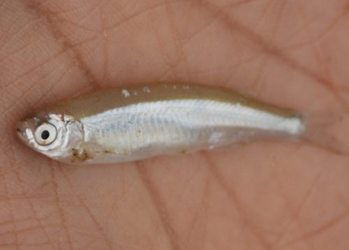
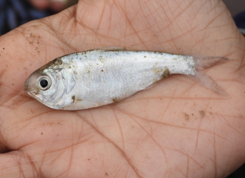
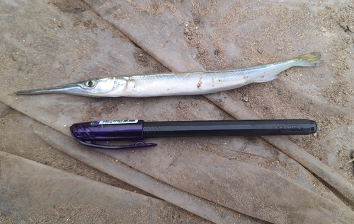
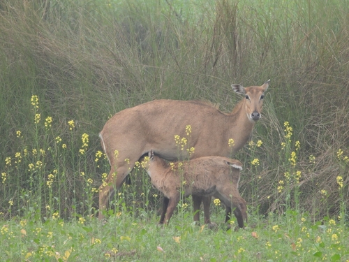
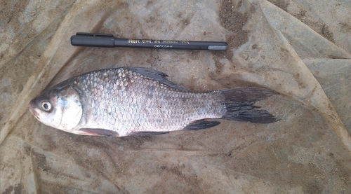
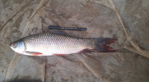
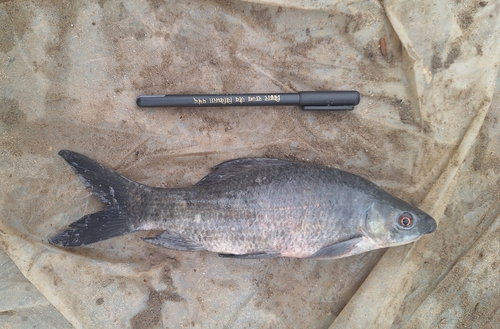
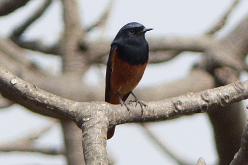
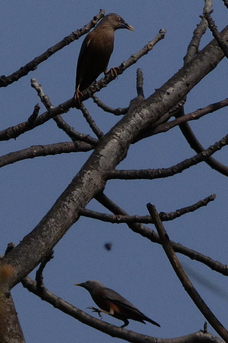
Research-grade observations from iNaturalist (within ~15 mi).
Events
Gallery
Sources
- • Wikipedia
- • Wikidata
- • iNaturalist