Browse / India / Gujarat / Beyt
Beyt
Gujarattown

Beyt
Total population
15,320
Demographic figures from Ministry of Statistics (India). Overview below cites Wikipedia and may reference a different year.
City facts
Overview
Bet Dwarka or Shankhodhar is an inhabited island at the mouth of the Gulf of Kutch, situated 2 km (1 mi) off the coast of the town of Okha, Gujarat, India, and 25 km (16 mi) north of the city of Dwarka. Northeast to southwest, the island measures 8 km (5 mi) long and averaging 2 km (1 mi) wide. The island's name "Shankhodhar" derives from the fact that the island is a large source of conch shells.
Read more on WikipediaHistory & geography
History
==History== Bet Dwarka is considered to be part of the ancient city of Dvārakā. In Indian epic literature such as the Mahabharata and the Skanda Purana, this city is the abode of Krishna. Gujarati scholar Umashankar Joshi suggested that Antardvipa in the Sabha Parva of the Mahabharata can be identified as Bet Dwarka, as the Yadavas of Dwarka are said to have travelled to it by boat. Undersea archaeological remains suggest the existence of a settlement during the Late Harappan period of Indus Valley civilization, or immediately after it. The settlement can be reliably dated to the time of the Maurya Empire, as a part of Okha Mandal or Kushdwip area. Dwarka is mentioned in a copper inscription (dated 574 CE) of Simhaditya, the son of Varahdas (the king of Dwarka) and the minister of the city of Vallabhi during the Maitraka dynasty. In 1473, Mahmud Begada of Gujarat Sultanate conquered Dwarka and Bet Dwarka marking the end of the Rajput Rathore dynasty of Dwarka. Gujarat Sultanate's border extended to the Arabian sea. It marked the beginning of Muslim rule over the region. During the 18th century, the island, along with Okhamandal region, was controlled by the Gaekwads of Baroda. During the Indian rebellion of 1857, the Vaghers captured this region. In 1859, through a joint offensive with the British, Gaekwad and other princely state troops ousted the rebels and recaptured the region. After Indian Independence in 1947, the area was integrated into the Saurashtra State. Later, Saurashtra merged with Bombay State under the state reorganization plans. When Gujarat was created from the bifurcation of Bombay State, Bet Dwarka was under the jurisdiction of the Jamnagar district of Gujarat. In 2013, it became part of the Devbhumi Dwarka district, created from the Jamnagar…
Excerpted from the corresponding Wikipedia article (CC BY-SA).
Geography
Coordinates & boundaries from the US Census TIGER/Line shapefiles.
Climate
Air quality
Walkability
Amenities nearby
Wildlife & biodiversity
Earthquake history
Photos
Sights & places nearby
Notable people from here
Geography & sun
Elevation, sunrise/sunset and daylight from Open-Meteo. Solar climatology from NASA POWER.
Nearby airports
Public attention
Pageview totals from the Wikimedia Pageviews API.
Books about this place
Recent natural events nearby
Ground air-quality sensors
Recently spotted species
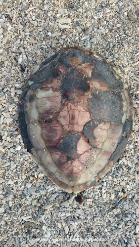
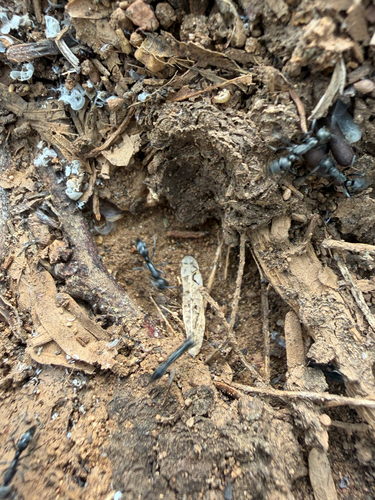
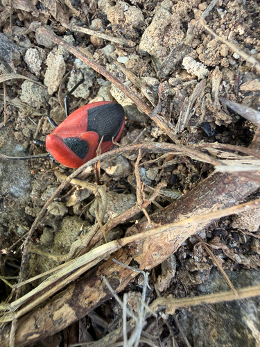
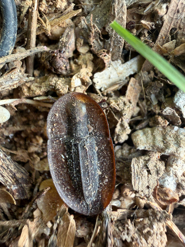
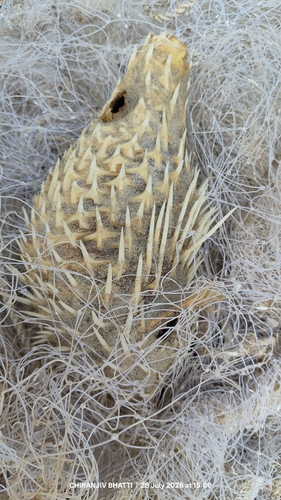
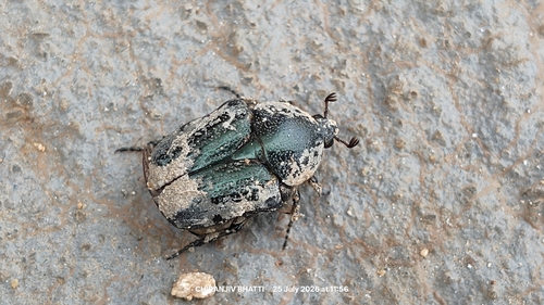
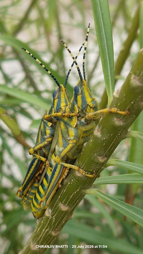
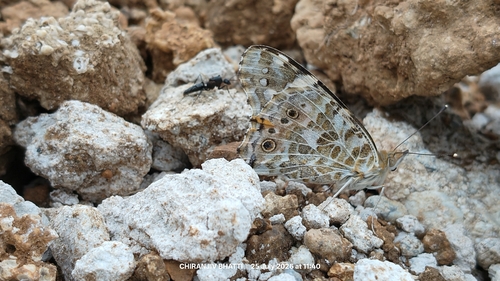
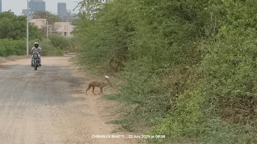
Research-grade observations from iNaturalist (within ~15 mi).
Events
Gallery
Sources
- • Wikipedia
- • iNaturalist
- • Open-Meteo / sunrise-sunset.org
- • Wikipedia Pageviews API