Browse / India / Haryana / Bhiwani
Bhiwani
Haryanacity
Total population
196,100
Demographic figures from Ministry of Statistics (India). Overview below cites Wikipedia and may reference a different year.
City facts
Facts from Wikidata (CC0).
Overview
Bhiwani is a city and a municipal council in Bhiwani district in the state of Haryana. Besides being a seat of spiritual learning, the city is at the centre of regional politics and hometown of three former Haryana chief ministers: Bansi Lal, Banarsi Das Gupta and Hukum Singh. It is located 128 km west of national capital New Delhi.
Read more on WikipediaHistory & geography
History
Bhiwani is a corrupted form of Bhani. The town was founded by a rajput chief called Neem Singh. His wife named Bhani once saved his life from treachery. Consequently, he named the town after her. The corrupted name of the town from Bhani to Bhiani (natives still use this pronunciation) eventually came to be known as Bhiwani. Other oral tradition avers that the town is named after the goddess Bhavani, the wife of Lord Shiva. The old town had a protective wall with 12 gates which are ruined now, including Bapora Gate to the north-west, Rohtak Gate to the east, and Dadri Gate to the south-east. Buildings are in rajput architecture with pavilions and carved wood. Samadhi of Todar Singh, is a samadhi (shrine) near Bichhwa lake. Mughal emperor Humayun came to Charkhi Dadri for hunting. Bhani Singh attacked a nearby Baliali village with Humayun's forces, which resulted in a retaliatory attack on Mughal forces by Jats of Bhiwani led by Todar Singh. Jats of Bhiwani were defeated and Todar was killed in the battle. Samadhi was built in his memory. In 1809, Bhiwani was annexed by the British Raj from the Maratha Empire. In 1817, William Frazer built a mandi (grain and goods market) here, resulting in the emergence of town as the regional hub of trade.
Geography
Bhiwani is located at . It has an average elevation of . Bhiwani lies from the state capital Chandigarh and from the national capital Delhi.
Excerpted from the corresponding Wikipedia article (CC BY-SA).
Geography
Coordinates & boundaries from the US Census TIGER/Line shapefiles.
Climate
Air quality
Walkability
Amenities nearby
Wildlife & biodiversity
Earthquake history
Photos
Sights & places nearby
Notable people from here


People born within ~10 km, from Wikidata (CC0). Click any name for their Wikipedia article.
Nearby places in Haryana
- Bawani Khera12.6 mi away · pop. 17,438
- Tosham14.6 mi away · pop. 11,271
- Meham15.3 mi away · pop. 20,484
- Charkhi Dadri16.1 mi away · pop. 5,000
- Bass22.3 mi away
- Badhra23 mi away · pop. 6,333
- Hansi24 mi away · pop. 50,000
- Matenhail24.9 mi away
- Rohtak27.7 mi away · pop. 373,133
- Julana27.8 mi away · pop. 18,755
- Kharar28.6 mi away
- Loharu32.3 mi away · pop. 5,000
Geography & sun
Elevation, sunrise/sunset and daylight from Open-Meteo. Solar climatology from NASA POWER.
Nearby airports
Public attention
Pageview totals from the Wikimedia Pageviews API.
Books about Bhiwani
Search results from Open Library.
Recent natural events nearby
Ground air-quality sensors
Recently spotted species
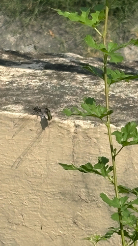
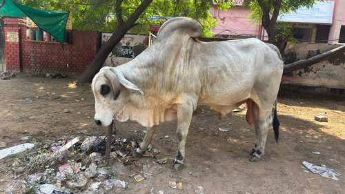
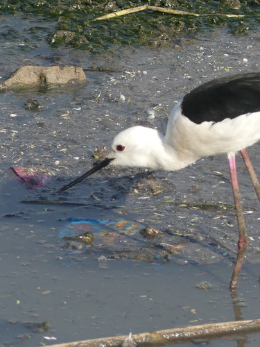
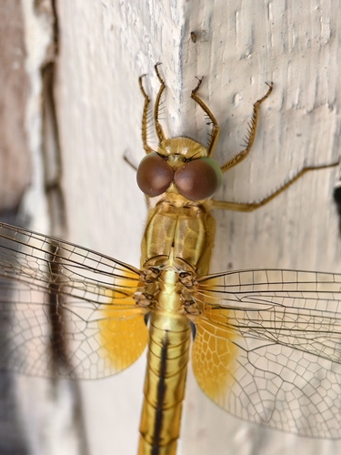
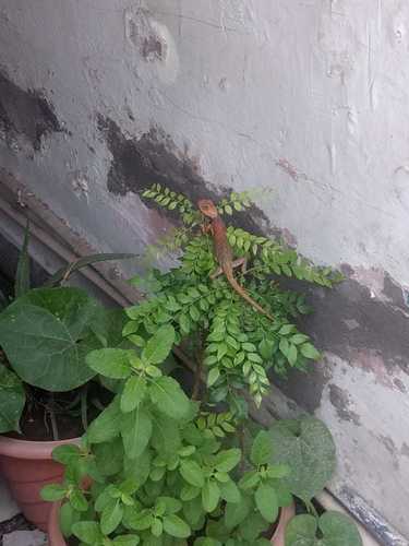
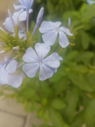
Research-grade observations from iNaturalist (within ~15 mi).
Events
Gallery
Sources
- • Wikipedia
- • Wikidata
- • iNaturalist
- • Open-Meteo / sunrise-sunset.org
- • Wikipedia Pageviews API
- • Open Library