Browse / India / Madhya Pradesh / Bhopal
Bhopal
Madhya Pradeshcity

Bhopal
Total population
1,800,000
Demographic figures from Ministry of Statistics (India). Overview below cites Wikipedia and may reference a different year.
City facts
Facts from Wikidata (CC0).
Overview
Bhopal is the capital city of the Indian state of Madhya Pradesh and the administrative headquarters of both Bhopal district and Bhopal division. It is known as the City of Lakes, due to presence of various natural and artificial lakes near the city boundary. It is also one of the greenest cities in India. It is the 16th largest city in India and 131st in the world. After the formation of Madhya Pradesh, Bhopal was part of the Sehore district. It was bifurcated in 1972 and a new district, Bhopal, was formed. Flourishing around 1707, the city was the capital of the former Bhopal State, a princely state of the British ruled by the Nawabs of Bhopal until India's independence in 1947. India achieved independence on 15 August 1947. Bhopal was one of the last states to sign the ‘Instrument of Accession’. The ruler of Bhopal acceded to the Indian government, and Bhopal became an Indian state on 1 May 1949. Sindhi refugees from Pakistan were accommodated in Bairagarh, a western suburb of Bhopal.
Read more on WikipediaHistory & geography
History
According to folklore, Bhopal was founded in the 11th century by the Paramara king Bhoja, who ruled from his capital at Dhar. This theory states that Bhopal was originally known as Bhojpal after a dam (pal) constructed by the king's minister. According to yet another version, Raja Bhoj suffered from leprosy. His physician advised him to build a lake with water from 365 rivers and take daily bath in it. When such a lake was built, it was called Bhoj Tal [or Bhoj's lake]. Gradually people started calling the city Bhojpal, and finally Bhopal. In the early 17th century, Bhopal was a small village in the Gond kingdom. The modern Bhopal city was established by Dost Mohammad Khan (1660–1726), a Pashtun soldier in the Mughal army. After the death of the emperor Aurangzeb, Khan started providing mercenary services to local chieftains in the politically unstable Malwa region. In 1709, he took on the lease of Berasia estate and later annexed several territories in the region to establish the Bhopal State. Khan received the territory of Bhopal from the Gond queen Kamlapati in lieu of payment for mercenary services and usurped her kingdom after her death. In the 1720s, he built the Fatehgarh fort in the village, which developed into the city of Bhopal over the next few decades. The area of Malwa which also included Bhopal and nearby regions came under Maratha control after the combined armies of Mughal-Nizam-Nawab were decisively defeated in Battle of Bhopal (1737) by the great Peshwa Bajirao I. The state was founded in 1707 by Dost Mohammad Khan, a Pashtun soldier in the Mughal army, who became a mercenary after the Emperor Aurangzeb's death and annexed several territories to his fiefdom. It came under the suzerainty of the Nizam of Hyderabad in 1723 shortly after its…
Geography
Bhopal has an average elevation of 500 metres (1,401 ft) and is located in the central part of India, just north of the upper limit of the Vindhya mountain ranges. Located on the Malwa plateau, it is higher than the north Indian plains and the land rises towards the Vindhya Range to the south. The city has uneven elevation and has small hills within its boundaries. The prominent hills in Bhopal are the Idgah, Arera and Shyamala hills in the northern region, together with the Katara hills in the southern region. There are 17 lakes and 5 reservoirs biggest of them are upper lake ([https://m.bharatdiscovery.org/india/%E0%A4%AC%E0%A4%A1%E0%A4%BC%E0%A4%BE_%E0%A4%A4%E0%A4%BE%E0%A4%B2%E0%A4%BE%E0%A4%AC,_%E0%A4%AD%E0%A5%8B%E0%A4%AA%E0%A4%BE%E0%A4%B2 Bada Talab]) and lower lake. The Upper Lake was built in the 11th century and has a surface area of 36 km2 and catchment area of 361 km2 while the Lower Lake has a surface area of 1.29 km2 and catchment area of 9.6 km2. Recently, Bhopal Municipal Corporation came with a resolution to involve local citizens in cleaning, conserving and maintaining the lakes. Bhopal city is divided into two parts where one part which is near the VIP road and lake is Old Bhopal (north) and the other, New Bhopal (south), where malls are mainly situated. List of pin codes from Bhopal is 462001 to 462050 which comes under Bhopal postal division (Bhopal Region). Bhopal has a humid subtropical climate (Cwa), with cool, dry winters, a hot summer and a humid monsoon season. Summers start in late March and go on until mid-June, the average temperature being around 30 °C (86 °F), with the peak of summer in May, when the highs regularly exceed 40 °C (104 °F). Extreme high in May was 46.7 °C on 19 May 2016,…
Excerpted from the corresponding Wikipedia article (CC BY-SA).
Geography
Coordinates & boundaries from the US Census TIGER/Line shapefiles.
Climate
Air quality
Walkability
Amenities nearby
Wildlife & biodiversity
Most-observed species
- Red-vented BulbulPycnonotus cafer (Linnaeus, 1766) · Aves2,808
- Red-wattled LapwingVanellus indicus (Boddaert, 1783) · Aves2,407
- Laughing DoveSpilopelia senegalensis (Linnaeus, 1766) · Aves2,403
- Black DrongoDicrurus macrocercus Vieillot, 1817 · Aves2,274
- Purple SunbirdCinnyris asiaticus (Latham, 1790) · Aves2,177
- White-throated KingfisherHalcyon smyrnensis (Linnaeus, 1758) · Aves1,886
- Rock PigeonColumba livia J.F.Gmelin, 1789 · Aves1,854
- Saxicoloides fulicatus (Linnaeus, 1766)Saxicoloides fulicatus (Linnaeus, 1766) · Aves1,783
Citizen-science & research observations from the Global Biodiversity Information Facility (GBIF).
Earthquake history
Events from the USGS Earthquake Catalog (global) (FDSN Event Web Service).
Photos
Sights & places nearby
Notable people from here


People born within ~10 km, from Wikidata (CC0). Click any name for their Wikipedia article.
Nearby places in Madhya Pradesh
Geography & sun
Elevation, sunrise/sunset and daylight from Open-Meteo. Solar climatology from NASA POWER.
Nearby airports
Public attention
Pageview totals from the Wikimedia Pageviews API.
Books about Bhopal
Search results from Open Library.
Recent natural events nearby
Ground air-quality sensors
Recently spotted species
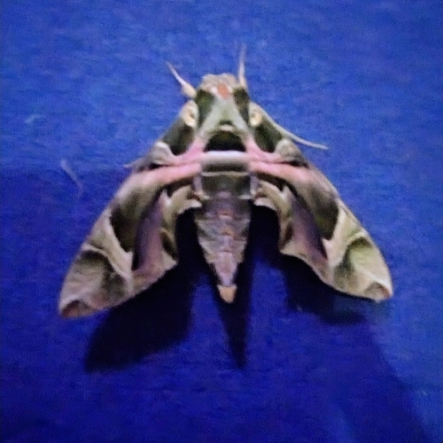
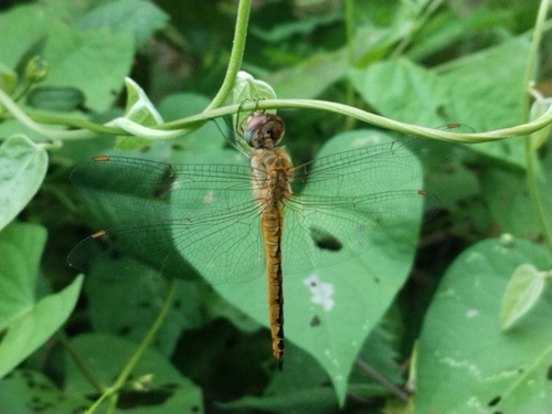
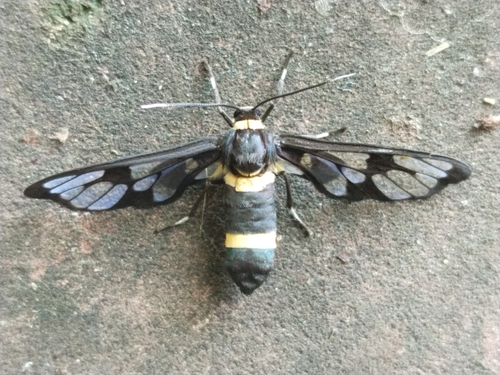
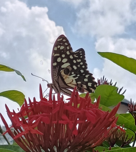
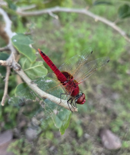
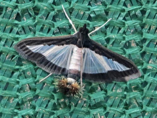
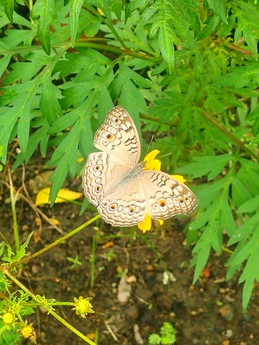
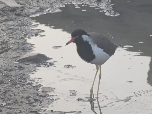
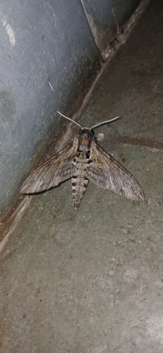
Research-grade observations from iNaturalist (within ~15 mi).
Events
Gallery
Sources
- • Wikipedia
- • Wikidata
- • USGS Earthquake Catalog (global feed)
- • GBIF (Global Biodiversity Information Facility)
- • iNaturalist
- • Open-Meteo / sunrise-sunset.org
- • Wikipedia Pageviews API
- • Open Library